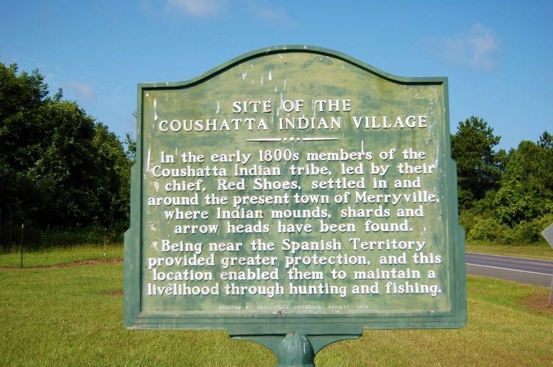
Site of the Coushatta Indian Village
In the early 1800s members of the Coushatta Indian tribe, led by their chief, Red Shoes, settled in and around the present town of Merryville, where Indian mounds, shards and arrow heads have been found.
Being near the Spanish Territory provided greater protection, and this location enabled them to maintain a good livelihood through hunting and fishing.
Erected 1979 by Merryville Historical Society.
Topics. This historical marker is listed in this topic list: Native Americans.
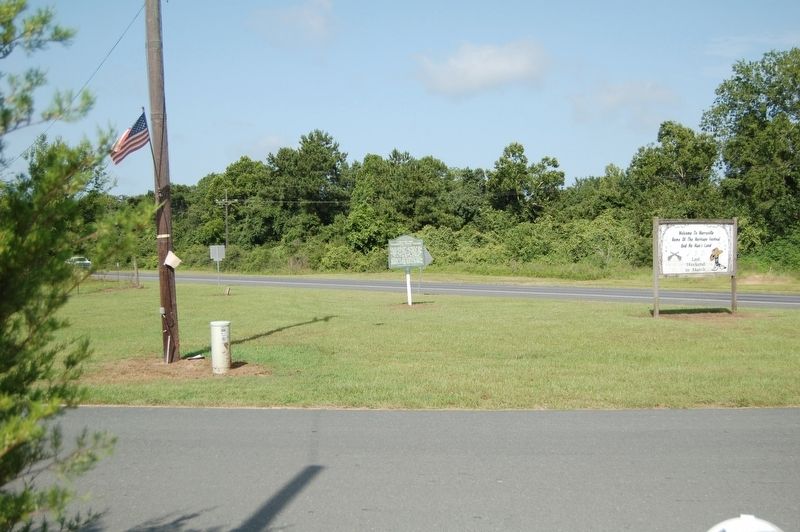
Location. 30° 45.511′ N, 93° 32.77′ W. Marker is in Merryville, Louisiana, in Beauregard Parish. Marker is at the intersection of Ronald Reagan Highway (U.S. 190) and North Bryan Street, on the right when traveling east on Ronald Reagan Highway. Touch for map. Marker is in this post office area: Merryville LA 70653, United States of America. Touch for directions.
Other nearby markers. At least 8 other markers are within 7 miles of this marker, measured as the crow flies. The Atakapa-Coushatta Trace (within shouting distance of this marker); Charles "Leather Bitches" Smith (approx. 0.4 miles away); Burk's Log Cabin (approx. 0.4 miles away); Sam Houston Jones (approx. 0.4 miles away); Leather Britches (approx. 0.4 miles away); Inman Cemetery (approx.
Credits. This page was last revised on June 2, 2023. It was originally submitted on July 14, 2019, by Cajun Scrambler of Assumption, Louisiana. This page has been viewed 563 times since then and 71 times this year. Photos: 1, 2. submitted on July 14, 2019.

