Hammondsport in Steuben County, New York — The American Northeast (Mid-Atlantic)
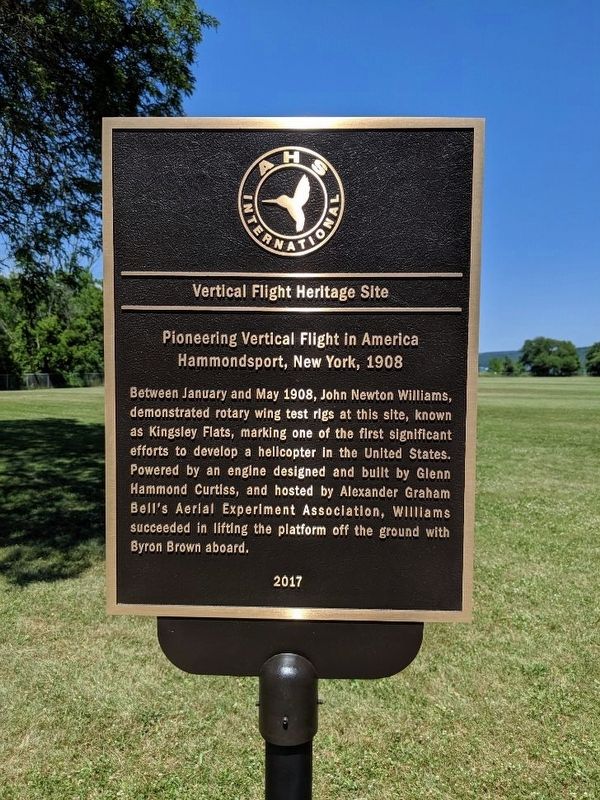
Vertical Flight Heritage Site
Pioneering Vertical Flight in America
— Hammondsport, New York, 1908 —
Erected 2017 by AHS International.
Topics. This historical marker is listed in this topic list: Air & Space. A significant historical month for this entry is May 1908.
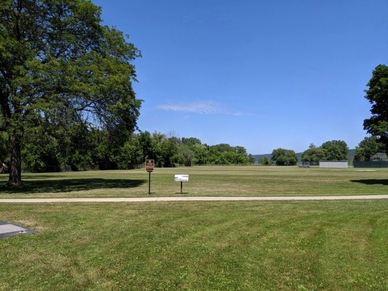
Location. 42° 24.214′ N, 77° 13.34′ W. Marker is in Hammondsport, New York, in Steuben County. Marker can be reached from Main Street (New York State Route 54A) 0.2 miles north of New York State Route 54. Located at Hammondstown Central School. Touch for map. Marker is at or near this postal address: 8272 Main Street, Hammondsport NY 14840, United States of America. Touch for directions.
Other nearby markers. At least 8 other markers are within walking distance of this marker. 1906 - 1916 Floating and Flying (here, next to this marker); Town of Urbana Civil War Monument (approx. 0.3 miles away); Into the World of Aviation (approx. 0.4 miles away); 1911 - 1916 Wings Over the Water (approx. 0.4 miles away); Glenn Hammond Curtiss (approx. 0.4 miles away); Pulteney Square (approx. 0.4 miles away); 1900 - 1904 Two Wheels on the Ground (approx. 0.4 miles away); Champlin House (approx. 0.4 miles away). Touch for a list and map of all markers in Hammondsport.
Credits. This page was last revised on July 21, 2019. It was originally submitted on July 14, 2019, by Mike Wintermantel of Pittsburgh, Pennsylvania. This page has been viewed 226 times since then and 24 times this year. Photos: 1, 2. submitted on July 14, 2019, by Mike Wintermantel of Pittsburgh, Pennsylvania.

