Circleville in Orange County, New York — The American Northeast (Mid-Atlantic)
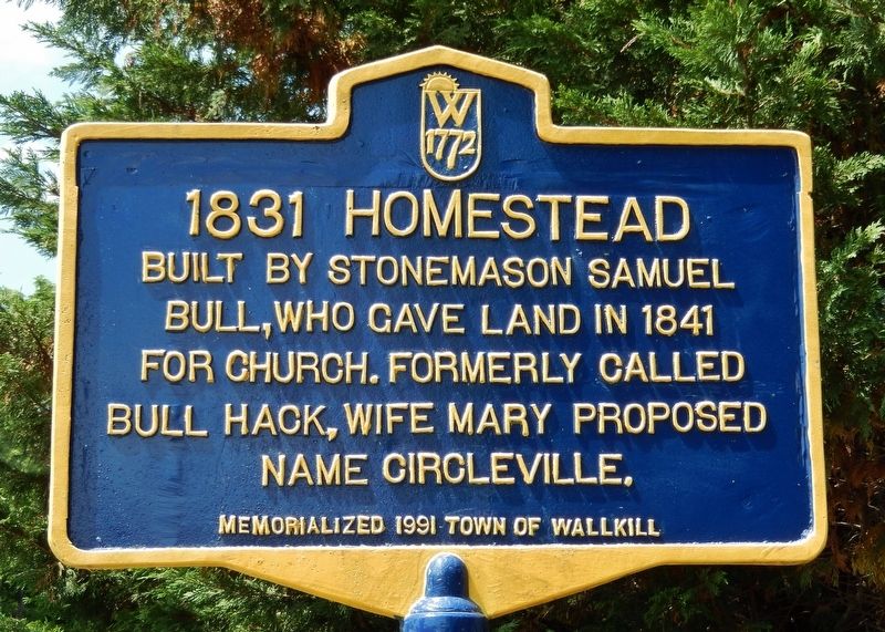
1831 Homestead
Erected 1991 by Town of Wallkill.
Topics. This historical marker is listed in these topic lists: Charity & Public Work • Settlements & Settlers. A significant historical year for this entry is 1831.
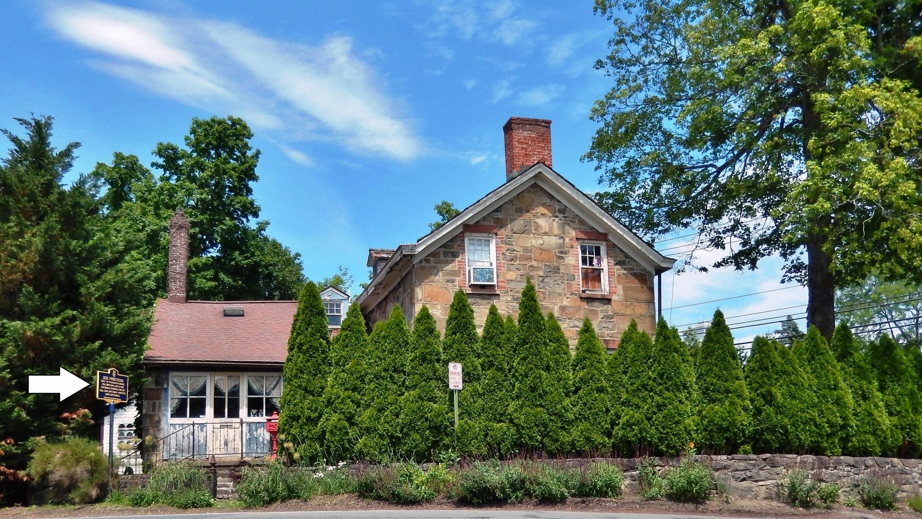
Location. 41° 30.899′ N, 74° 23.242′ W. Marker is in Circleville, New York, in Orange County. Marker is on Goshen Turnpike north of New York State Route 302, on the right when traveling north. Marker is located on the east side of the highway, directly in front of the west side of the subject house. Touch for map. Marker is in this post office area: Circleville NY 10919, United States of America. Touch for directions.
Other nearby markers. At least 8 other markers are within 4 miles of this marker, measured as the crow flies. Mt. Johnson School (approx. 1.1 miles away); John Tears Inn (approx. 1.3 miles away); Scotchtown (approx. 2.7 miles away); Rear-Admiral Silas Horton Stringham (approx. 3˝ miles away); Corner Post of Inn Burned on Feb. 24, 1922 (approx. 3.8 miles away); Bloomingburgh (approx. 3.8 miles away); First Presbyterian Church, Scotchtown, N.Y. (approx. 3.9 miles away); Dutch Reformed Church (approx. 4 miles away).
Also see . . . History of Circleville, New York . The Circleville Presbyterian Church was organized on January 4, 1842. Its house of worship was erected in 1842, and a large part of the expense of such erection seems to have been contributed by donations in the way of labor, timber, lumber and mason work. The land, consisting of five acres, was donated by Samuel Bull, who, in addition to his gift of land, contributed much in labor, material and money, and to him the community is largely indebted for benefits derived from this church through its past years and at the present time. (Submitted on July 30, 2019, by Cosmos Mariner of Cape Canaveral, Florida.)
Credits. This page was last revised on July 30, 2019. It was originally submitted on July 14, 2019, by Cosmos Mariner of Cape Canaveral, Florida. This page has been viewed 432 times since then and 44 times this year. Photos: 1, 2. submitted on July 30, 2019, by Cosmos Mariner of Cape Canaveral, Florida.

