Near Ausable Chasm in Essex County, New York — The American Northeast (Mid-Atlantic)
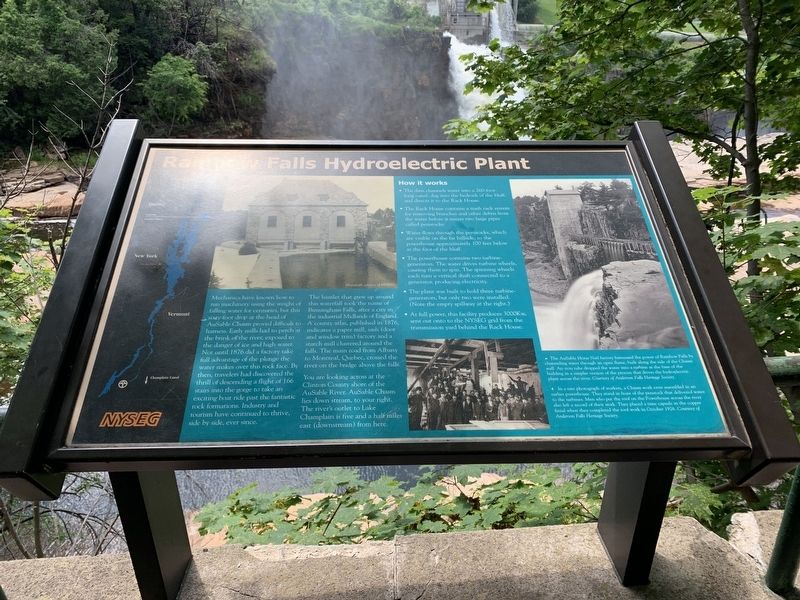
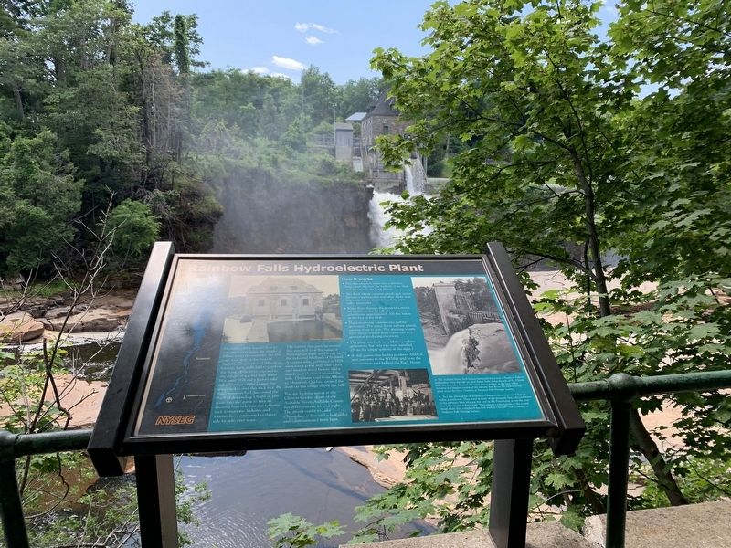
Rainbow Falls Hydroelectric Plant
Mechanics have known how to run machinery using the weight of falling water for centuries, but this sixty-foot drop at the head of AuSable Chasm proved difficult to harness. Early mills had to perch on the brink of the river, exposed to ice and high water. Not until 1876 did a factory take full advantage of the plunge the water takes over this rock face. By then, travelers had discovered the thrill of descending a flight of 166 stairs into the gorge to take an exciting boat ride past fantastic rock formations. Industry and tourism have continued to thrive, side by side, ever since.
The hamlet that grew up around this waterfall took the name of Birmingham Falls, after a city in the industrial Midlands of England. A county atlas, published in 1876, indicates a paper mill, sash (door and window trim) factory, and a starch mill clustered around the falls.
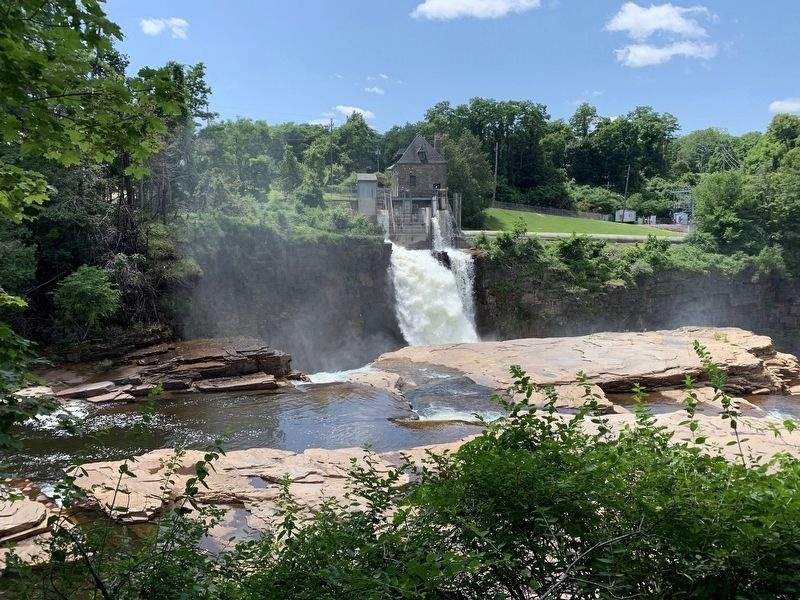
You are looking across at the Clifton County shore of the AuSable River. AuSable Chasm lies down stream, to your right. The river’s outlet to Lake Champlain is five and a half miles east from here.
How It Works
• The dam channels the water into a 260-foot long canal, dug into the bedrock of the bluff, and directs it to the Rack House.
• The Rack House contains a trash rack for removing branches and other debris from the water before it enters two large pipes called penstocks.
• Water flows through the penstocks, which are visible on the far hillside, to the powerhouse approximately 100 feet below at the foot of the bluff.
• The powerhouse contains two turbine generators. The water drive the turbine wheels, causing them to spin. The spinning wheels each turn a vertical shaft connected to a generator, producing electricity. The plant was built to hold three turbine-generators but only two were installed. (Note the empty spillway to the right.)
• At full power, this facility produces 3000kW sent out onto the NYSEG grid from the transmission yards behind the Rack House.
Erected by New York State Electric and Gas Corporation (NYSEG).
Topics. This historical marker is listed in these topic lists: Industry & Commerce • Natural Features. A significant historical year for this entry is 1876.
Location. 44° 31.431′ N, 73° 27.598′ W. Marker is near Ausable Chasm, New York, in Essex County. Marker is on County Route 71, on the left when traveling north. Touch for map. Marker is in this post office area: Keeseville NY 12911, United States of America. Touch for directions.
Other nearby markers. At least 8 other markers are within 2 miles of this marker, measured as the crow flies. How Did They Get Boats Back For The Next Ride? (about 600 feet away, measured in a direct line); The Boats And The Boatmen (about 600 feet away); What Is This Boat? (about 600 feet away); Ausable Chasm's "Famous Boat Ride" (about 700 feet away); Herbert Estes (about 700 feet away); Our Freedom Bell (about 800 feet away); Train Depot (approx. 1.4 miles away); Mineral Spring (approx. 1.6 miles away).
Credits. This page was last revised on July 16, 2019. It was originally submitted on July 15, 2019, by Steve Stoessel of Niskayuna, New York. This page has been viewed 633 times since then and 74 times this year. Photos: 1. submitted on July 15, 2019, by Steve Stoessel of Niskayuna, New York. 2, 3, 4. submitted on July 16, 2019, by Steve Stoessel of Niskayuna, New York. • Andrew Ruppenstein was the editor who published this page.


