Orinda in Contra Costa County, California — The American West (Pacific Coastal)
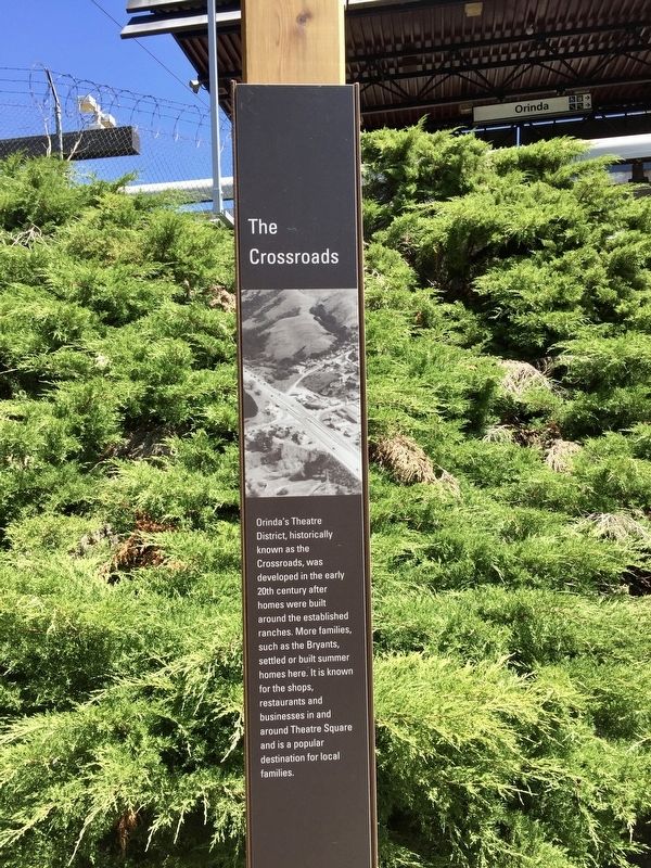
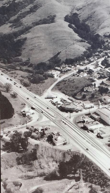
The Crossroads
Erected 2019.
Topics. This historical marker is listed in this topic list: Settlements & Settlers.
Location. 37° 52.713′ N, 122° 11.018′ W. Marker is in Orinda, California, in Contra Costa County. Marker can be reached from the intersection of Camino Pablo and California Highway 24. Touch for map. Marker is in this post office area: Orinda CA 94563, United States of America. Touch for directions.
Other nearby markers. At least 8 other markers are within walking distance of this marker. Orinda Mural (within shouting distance of this marker); Pony Express (within shouting distance of this marker); Bryant Station Site (about 400 feet away, measured in a direct line); The Orinda Theatre, 1941 (about 400 feet away); a different marker also named The Pony Express (about 500 feet away); The First Downtown (about 600 feet away); The deLaveaga Station (approx. 0.2 miles away); The de Laveaga Station (approx. 0.2 miles away). Touch for a list and map of all markers in Orinda.
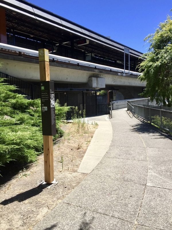
More about this marker. The marker is mounted to a pole outside the Orinda BART station, where the sidewalk along Camino Pablo emerges from under Highway 24 and intersects with the walkway between the east parking lot and the station itself.
Credits. This page was last revised on July 16, 2019. It was originally submitted on July 15, 2019, by Andrew Ruppenstein of Lamorinda, California. This page has been viewed 319 times since then and 27 times this year. Photos: 1, 2, 3. submitted on July 15, 2019, by Andrew Ruppenstein of Lamorinda, California.


