Dolgeville in Herkimer County, New York — The American Northeast (Mid-Atlantic)
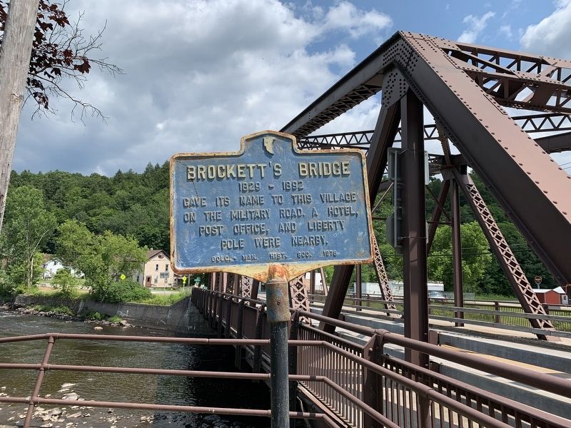
Brockett's Bridge
1829-1892
Erected 1978 by Dolg. Man. Hist. Soc.
Topics. This historical marker is listed in these topic lists: Bridges & Viaducts • Roads & Vehicles. A significant historical year for this entry is 1829.
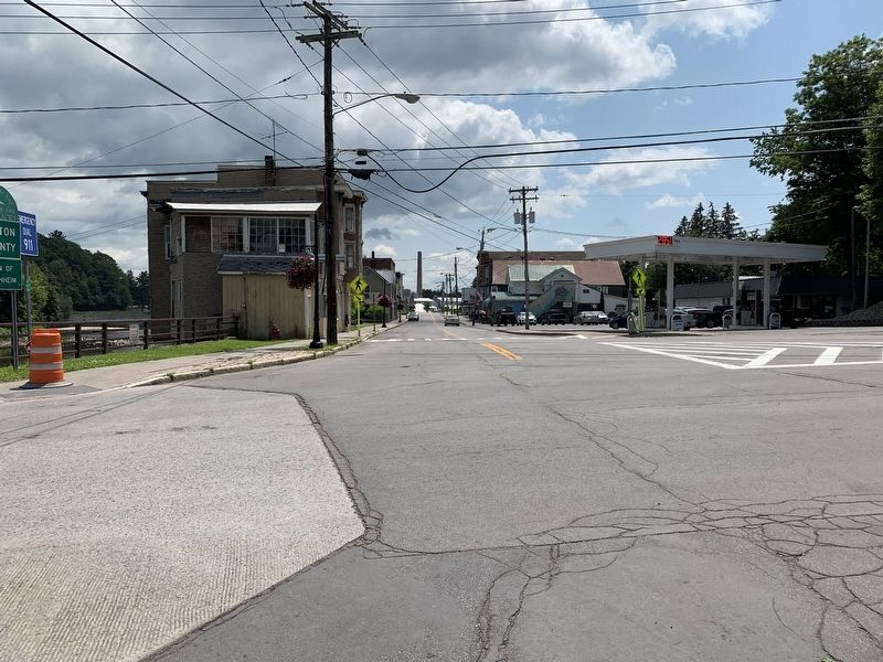
Location. 43° 6.333′ N, 74° 46.204′ W. Marker is in Dolgeville, New York, in Herkimer County. Marker is at the intersection of East State Street (Route 29) and North Main Street, on the right when traveling west on East State Street. Touch for map. Marker is in this post office area: Dolgeville NY 13329, United States of America. Touch for directions.
Other nearby markers. At least 8 other markers are within 4 miles of this marker, measured as the crow flies. Innovation • Industry (within shouting distance of this marker); Culture • Hospitality (about 300 feet away, measured in a direct line); Municipal Building Annex (approx. 0.2 miles away); Daniel Green (approx. ¼ mile away); Dolgeville War Memorial (approx. 0.4 miles away); Town of Salisbury War Memorial (approx. 2.7 miles away); Bell Purchased 7 May 1831 (approx. 3.4 miles away); Robert Higbie House (approx. 3.9 miles away). Touch for a list and map of all markers in Dolgeville.
Credits. This page was last revised on July 18, 2019. It was originally submitted on July 16, 2019, by Steve Stoessel of Niskayuna, New York. This page has been viewed 364 times since then and 39 times this year. Photos: 1, 2, 3. submitted on July 16, 2019, by Steve Stoessel of Niskayuna, New York. • Bill Pfingsten was the editor who published this page.


