Near Bloomfield in Nelson County, Kentucky — The American South (East South Central)
Walnut Groves Farm
Front
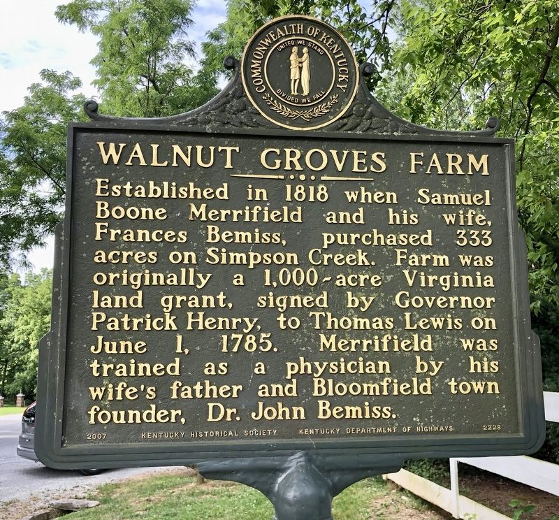
Established in 1818 when Samuel Boone Merrifield and his wife, Frances Bemiss, purchased 333 acres on Simpson Creek. Farm was originally a 1,000-acre Virginia land grant, signed by Governor Patrick Henry, to Thomas Lewis on June 1, 1785. Merrifield was trained as a physician by his wife’s father and Bloomfield town founder, Dr. John Bemiss.
Reverse
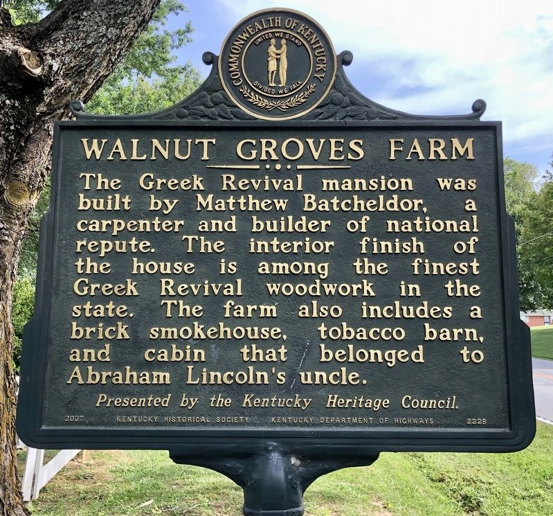
The Greek Revival mansion was built by Matthew Batcheldor, a carpenter and builder of national repute. The interior finish of the house is among the finest Greek Revival woodwork in the state. The farm also includes a brick smokehouse, tobacco barn, and cabin that belonged to Abraham Lincoln’s uncle.
Erected 2007 by Kentucky Historical Society, Kentucky Department of Highways. (Marker Number 2228.)
Topics and series. This historical marker is listed in these topic lists: Architecture • Notable Buildings • Notable Places. In addition, it is included in the Kentucky Historical Society series list. A significant historical date for this entry is June 1, 1785.
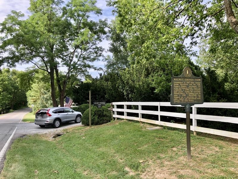
Location. 37° 55.372′ N, 85° 18.953′ W. Marker is near Bloomfield, Kentucky, in Nelson County. Marker is on Taylorsville Road (Kentucky Route 55) 0.2 miles north of Pleasantview Road, on the left when traveling north. Touch for map. Marker is at or near this postal address: 801 Taylorsville Road, Bloomfield KY 40008, United States of America. Touch for directions.
Other nearby markers. At least 8 other markers are within 8 miles of this marker, measured as the crow flies. Ham Brown Log Cabin (about 800 feet away, measured in a direct line); Romantic 1825 Tragedy (approx. half a mile away); Guerrilla Quantrill (approx. 3.4 miles away); Kincheloe's Station (approx. 4.7 miles away); Camp Charity (approx. 6.2 miles away); The Spy Who Saved the Union (approx. 7.6 miles away); County Named, 1824 (approx. 7.6 miles away); Spencer House (approx. 7.7 miles away). Touch for a list and map of all markers in Bloomfield.
Credits. This page was last revised on July 17, 2019. It was originally submitted on July 17, 2019, by Mark Hilton of Montgomery, Alabama. This page has been viewed 1,677 times since then and 163 times this year. Photos: 1, 2, 3. submitted on July 17, 2019, by Mark Hilton of Montgomery, Alabama.


