Yonkers in Westchester County, New York — The American Northeast (Mid-Atlantic)
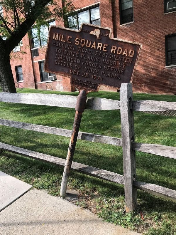
Mile Square Road
Colonial road, Eastchester
to White Plains. Used by
American forces before
Battle of White Plains,
Oct. 28, 1776
Erected 1936 by New York State Department of Education.
Topics. This historical marker is listed in these topic lists: Roads & Vehicles • War, US Revolutionary. A significant historical date for this entry is October 28, 1776.
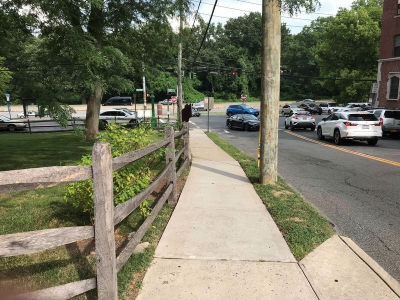
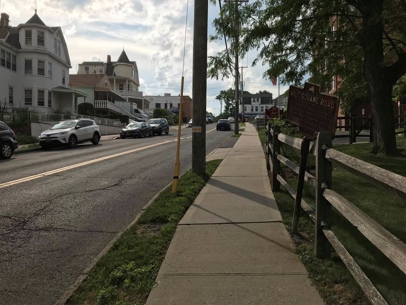
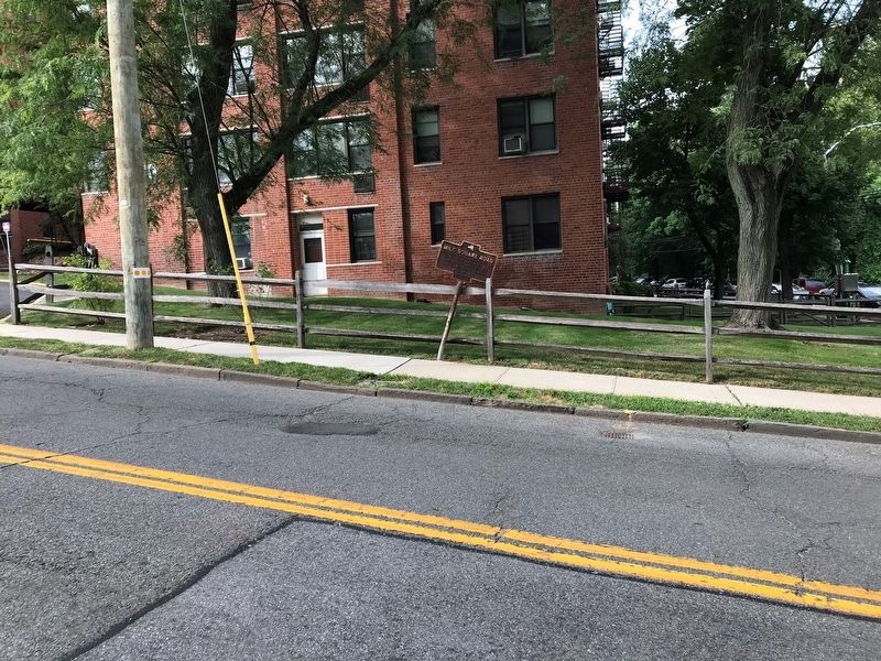
Location. 40° 55.115′ N, 73° 50.877′ W. Marker is in Yonkers, New York, in Westchester County. Marker is at the intersection of Mile Square Road and Bronx River Road, on the left when traveling east on Mile Square Road. Touch for map. Marker is at or near this postal address: 555 Bronx River Road, Yonkers NY 10704, United States of America. Touch for directions.
Other nearby markers. At least 8 other markers are within 3 miles of this marker, measured as the crow flies. David Glasgow Farragut (approx. 1.9 miles away); Glover’s Brigade Encampment (approx. 1.9 miles away); St. Paul’s Church, Eastchester (approx. 2.1 miles away); Saint Paul’s Protestant Episcopal Church (approx. 2.1 miles away); In Memory of the Underhills (approx. 2.1 miles away); The Old Boston Road (approx. 2.1 miles away); Patriots of the American Revolution (approx. 2.1 miles away); “Pelham Dale” (approx. 2.1 miles away).
Credits. This page was last revised on July 18, 2019. It was originally submitted on July 18, 2019, by Anton Schwarzmueller of Wilson, New York. This page has been viewed 453 times since then and 74 times this year. Photos: 1, 2, 3, 4. submitted on July 18, 2019, by Anton Schwarzmueller of Wilson, New York.


