Kirbyville in Jasper County, Texas — The American South (West South Central)
Site of the First Kirbyville Church
July 4, 2019
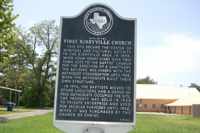
1. Site of the First Kirbyville Church Marker
This site became the center of spiritual and cultural activity in the Kirbyville area in 1898, when John Henry Kirby gave two town lots to the Baptist church for the erection of a sanctuary. the building was shared with the Methodist congregation until 1905, when the Methodists built their own structure.
In 1916, the Baptist moved to other locations and a group of Free Methodists occupied the site. The property was sold in 1925 to private enterprise and used for secular purposes until 1962, when it was purchased by the Church of Christ.
Erected 1974 by Texas Historical Commission. (Marker Number 10446.)
Topics. This historical marker is listed in this topic list: Religion & Religious Structures.
Location. 30° 39.677′ N, 93° 53.568′ W. Marker is in Kirbyville, Texas, in Jasper County. It is on North Elizabeth Avenue north of East Main Street, on the left when traveling north. Touch for map. Marker is at or near this postal address: 107 North Elizabeth Avenue, Kirbyville TX 75956, United States of America. Touch for directions.

Regionally, this marker is in the American
this page online
Other nearby markers. At least 8 other markers are within 15 miles of this marker, measured as the crow flies: Town of Kirbyville (about 700 feet away, measured in a direct line); Call Church of God in Christ (approx. 4.4 miles away); Trout Creek Missionary Baptist Church (approx. 5.7 miles away); Trout Creek Cemetery (approx. 5.7 miles away); Swift Cemetery (approx. 8.6 miles away); Zion Hill Missionary Baptist Church and Cemetery (approx. 13 miles away); Newton County (approx. 14.8 miles away); Historic Roadside Park (approx. 14.8 miles away).
Another marker is no longer nearby. Call (was approx. 3½ miles away but has been confirmed missing).
Additional keywords. Site of the First Kirbyville Church
July 4, 2019
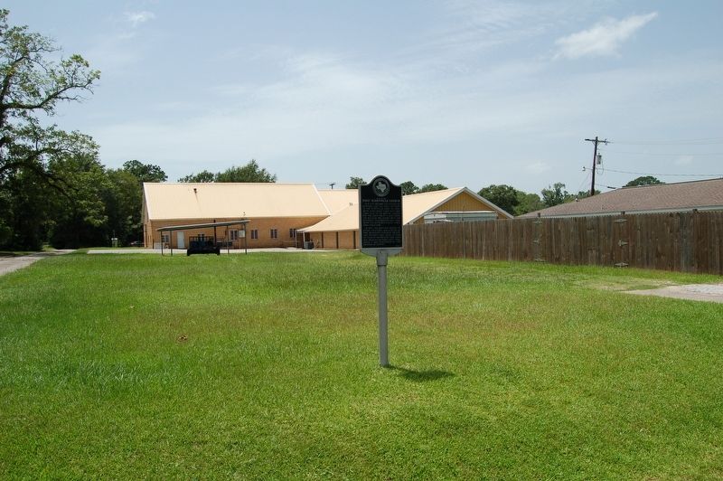
2. Site of the First Kirbyville Church Marker
Credits. This page was last revised on July 18, 2019. It was originally submitted on July 18, 2019, by Cajun Scrambler of Assumption, Louisiana. This page has been viewed 471 times since then and 36 times this year. Photos: 1, 2. submitted on July 18, 2019.
