Call in Newton County, Texas — The American South (West South Central)
Call

1. Marker Photo Wanted
Erected 1994. (Marker Number 12844.)
Topics. This historical marker is listed in these topic lists: Horticulture & Forestry • Settlements & Settlers.
Location. Marker has been reported missing. It was located near 30° 36.743′ N, 93° 52.643′ W. Marker was in Call, Texas, in Newton County. It was at the intersection of County Road 1004 and County Road 1013 on County Road 1004. Touch for map. Marker was in this post office area: Call TX 75933, United States of America. Touch for directions.

Regionally, this marker was in the American South, specifically in the Deep South, and in the Piney Woods. Globally, it was in North America, a Gulf of Mexico state, the Western Hemisphere, the Western World, and the Anglosphere. Historically, it found itself in what was once New Spain, the Republic of Texas, one of the Confederate States of America, and the Antebellum South.
Other nearby markers. At least 8 other markers are within 17 miles of this location, measured as the crow flies: Call Church of God in Christ (approx. 1.9 miles away); Town of Kirbyville (approx. 3.4 miles away); Site of the First Kirbyville Church (approx. 3½ miles away); Trout Creek Missionary Baptist Church (approx. 3.8 miles away); Trout Creek Cemetery (approx. 3.9 miles away); Swift Cemetery (approx. 6 miles away); Ford Chapel, Cemetery, and School (approx. 16.1 miles away); Newton County (approx. 16.9 miles away).
More about this marker. Missing, according to Texas Historical Commission, reported missing June, 2018. Still visible on Google Street View.
this page online
July 4, 2019
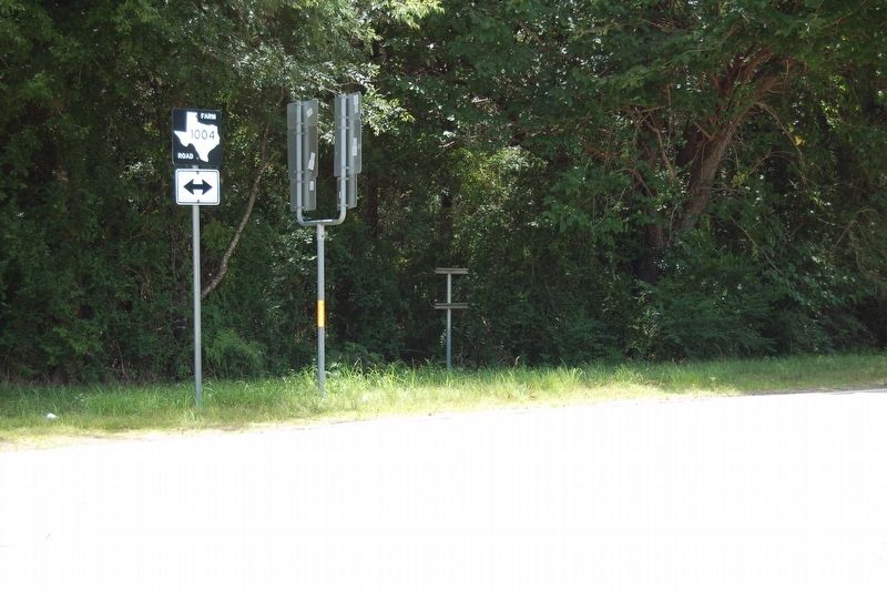
2. Call Marker Location Showing Its Post
Marker pole is the empty rightmost pole.
July 18, 2019
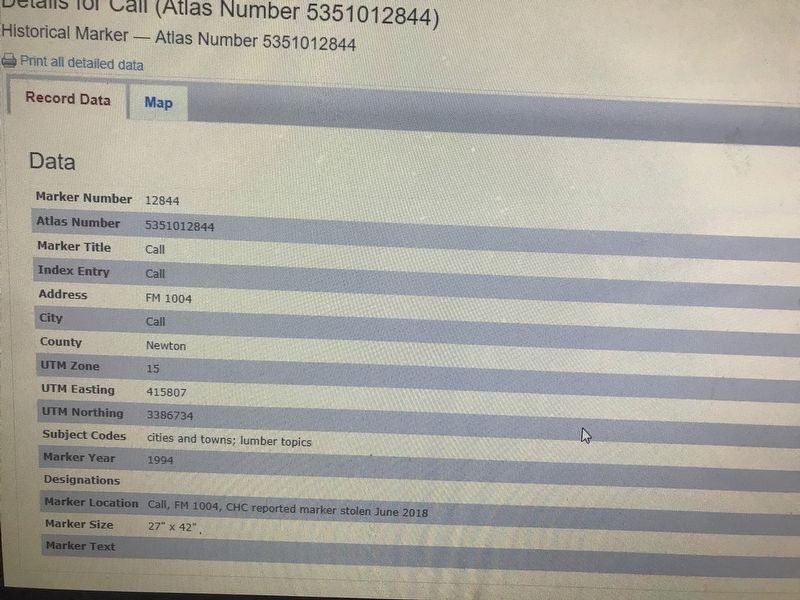
3. Call Marker
Shot of Texas State Historical Commission web site about missing marker.
Credits. This page was last revised on November 3, 2021. It was originally submitted on July 18, 2019, by Cajun Scrambler of Assumption, Louisiana. This page has been viewed 458 times since then and 27 times this year. Photos: 1, 2, 3. submitted on July 18, 2019.
Editor’s want-list for this marker. Photos of this marker • Inscription on this marker • Can you help?
