Midway in Woodford County, Kentucky — The American South (East South Central)
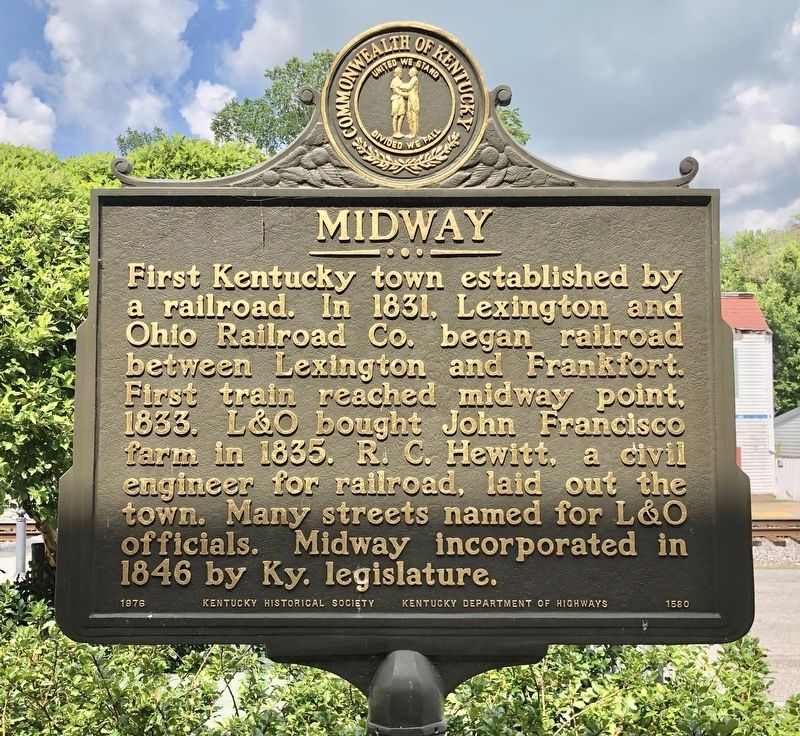
Midway
Erected 1976 by Kentucky Historical Society, Kentucky Department of Highways. (Marker Number 1580.)
Topics and series. This historical marker is listed in these topic lists: Railroads & Streetcars • Settlements & Settlers. In addition, it is included in the Kentucky Historical Society series list. A significant historical year for this entry is 1831.
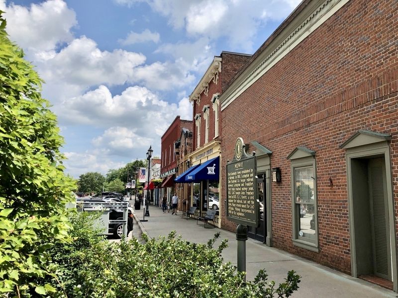
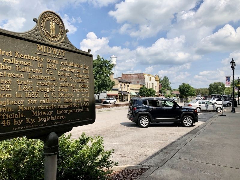
Location. 38° 9.04′ N, 84° 41.02′ W. Marker is in Midway, Kentucky, in Woodford County. Marker is on East Main Street east of North Winter Street (U.S. 62), on the right when traveling east. Touch for map. Marker is at or near this postal address: 113 East Main Street, Midway KY 40347, United States of America. Touch for directions.
Other nearby markers. At least 8 other markers are within walking distance of this marker. Edward Dudley Brown / Noted Horseman (about 300 feet away, measured in a direct line); "Sue Mundy" Here (about 400 feet away); Morgan at Midway (about 400 feet away); Midway Christian Church (about 500 feet away); St. Matthew A.M.E. Church (about 600 feet away); Midway Presbyterian Church (about 700 feet away); Sons & Daughters of Relief Cemetery (approx. 0.2 miles away); Midway Junior College — Pinkerton High School (approx. ¼ mile away). Touch for a list and map of all markers in Midway.
Also see . . . History of Midway. (Submitted on July 19, 2019, by Mark Hilton of Montgomery, Alabama.)
Credits. This page was last revised on July 19, 2019. It was originally submitted on July 19, 2019, by Mark Hilton of Montgomery, Alabama. This page has been viewed 246 times since then and 14 times this year. Photos: 1, 2, 3. submitted on July 19, 2019, by Mark Hilton of Montgomery, Alabama.


