Pride in East Baton Rouge Parish, Louisiana — The American South (West South Central)
Pride High School
1906-1981
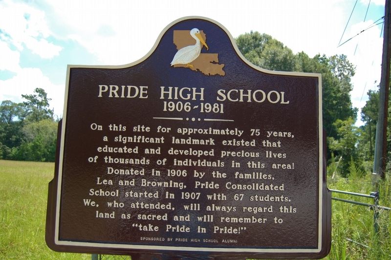
Photographed by Cajun Scrambler, July 19, 2019
1. Pride High School Marker
On this site for approximately 75 years, a significant landmark existed that educated and developed precious lives of thousands of individuals in this area. Donated in 1906 by the families, Lea nd Browning, Pride Consolidated School started in 1907 with 67 students. We, who attended, will always regard this land as sacred and will always remember to "take Pride in Pride!"
Erected by Pride High School Alumni.
Topics. This historical marker is listed in these topic lists: Education • Settlements & Settlers.
Location. 30° 41.602′ N, 90° 58.898′ W. Marker is in Pride, Louisiana, in East Baton Rouge Parish. It is on Port Hudson-Pride Road 0.2 miles west of Liberty Road (State Road 409), on the right when traveling west. Touch for map. Marker is in this post office area: Pride LA 70770, United States of America. Touch for directions.

Regionally, this marker is in the Florida Parishes and in Greater Baton Rouge. It is also in the American South, specifically in the Deep South, and in the Great River Road Region. Globally, it is in North America, a Gulf of
this page online
Other nearby markers. At least 8 other markers are within 12 miles of this marker, measured as the crow flies: Greenwell Springs (approx. 8.1 miles away); Watson (approx. 8.3 miles away); Indians Along Amite River (approx. 8½ miles away); Salem Baptist Church (approx. 9.2 miles away); Bank of Slaughter (approx. 9.8 miles away); Town of Zachary (approx. 10½ miles away); Osgood Corner (approx. 11½ miles away); St. Andrew's Episcopal Church (approx. 11.9 miles away).
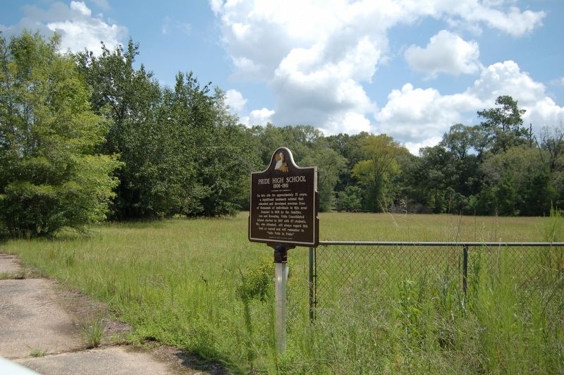
Photographed by Cajun Scrambler, July 18, 2019
2. Pride High School Marker
Credits. This page was last revised on August 4, 2024. It was originally submitted on July 21, 2019, by Cajun Scrambler of Assumption, Louisiana. This page has been viewed 1,233 times since then and 99 times this year. Photos: 1, 2. submitted on July 21, 2019.
