Near Salisbury in Herkimer County, New York — The American Northeast (Mid-Atlantic)
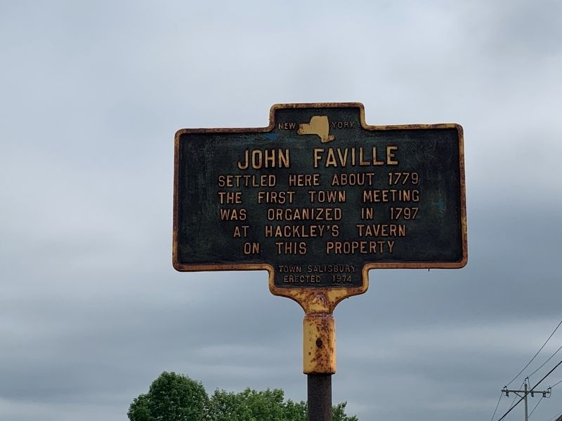
John Faville
Erected 1974 by Town of Salisbury.
Topics. This historical marker is listed in this topic list: Settlements & Settlers. A significant historical year for this entry is 1779.
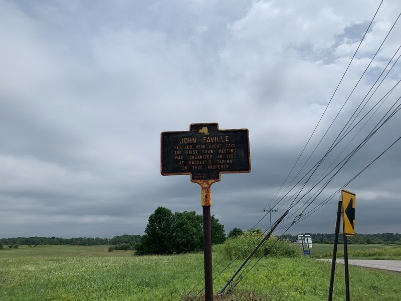
Location. 43° 7.92′ N, 74° 50.617′ W. Marker is near Salisbury, New York, in Herkimer County. Marker is at the intersection of Burrell Road (New York State Route 29), on the right when traveling west on Burrell Road. Sign opposite NY 170A. Touch for map. Marker is in this post office area: Little Falls NY 13365, United States of America. Touch for directions.
Other nearby markers. At least 8 other markers are within 5 miles of this marker, measured as the crow flies. Bell Purchased 7 May 1831 (approx. one mile away); Town of Salisbury War Memorial (approx. 3 miles away); Maltanner Creek (approx. 3.1 miles away); Trinity Church (approx. 3.4 miles away); Fairfield Academy (approx. 3˝ miles away); a different marker also named Fairfield Academy (approx. 3.6 miles away); Brockett's Bridge (approx. 4.1 miles away); Innovation • Industry (approx. 4.2 miles away).
Credits. This page was last revised on July 21, 2019. It was originally submitted on July 21, 2019, by Steve Stoessel of Niskayuna, New York. This page has been viewed 261 times since then and 10 times this year. Photos: 1, 2, 3. submitted on July 21, 2019, by Steve Stoessel of Niskayuna, New York. • Bill Pfingsten was the editor who published this page.


