
Louisa in Lawrence County, Kentucky — The American South (East South Central)
Pioneer Furnace
⎯⎯⎯
Iron Made in Kentucky
Photographed by Mark Hilton, July 13, 2019
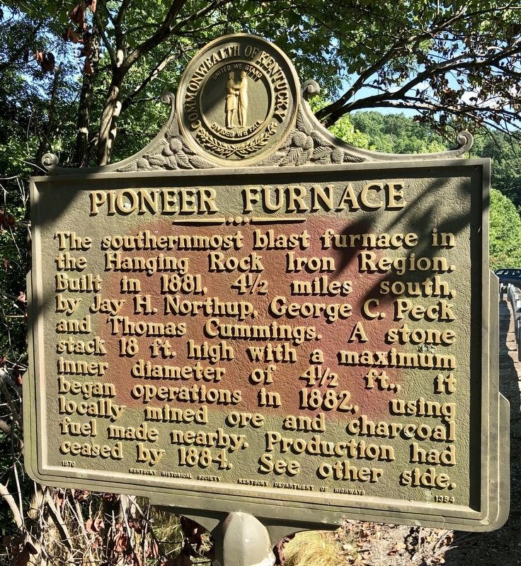
1. Pioneer Furnace Marker
Pioneer Furnace. The southernmost blast furnace in the Hanging Rock Iron Region. Built in 1881, 4½ miles south, by Jay H. Northup, George C. Peck and Thomas Cummings. A stone stack 18 ft. high with a maximum inner diameter of 4½ ft., it began operations in 1882, using locally mined ore and charcoal fuel made nearby. Production had ceased by 1884. See the other side.
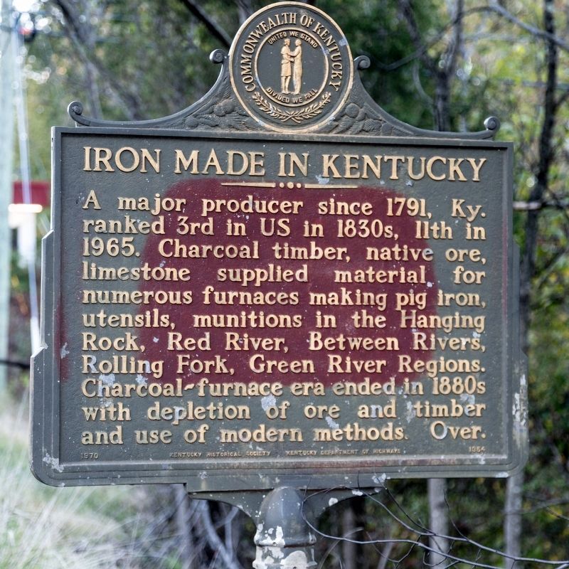
Iron Made in Kentucky. Iron Made in Kentucky - A major producer since 1791, Ky. ranked 3rd in US in 1830s, 11th in 1965. Charcoal timber, native ore, limestone supplied material for numerous furnaces making pig iron, utensils, munitions in the Hanging Rock, Red River, Between Rivers, Rolling Fork, Green River Regions. Charcoal-furnace era ended in 1880s with depletion of ore and timber and use of modern methods.
Erected 1970 by Kentucky Historical Society, Kentucky Department of Highways. (Marker Number 1354.)
Topics and series. This historical marker is listed in these topic lists: Industry & Commerce • Natural Resources. In addition, it is included in the Appalachian Iron Furnaces, and the Kentucky Historical Society series lists. A significant historical year for this entry is 1881.
Location. 38° 5.565′ N,
this page online

Regionally, this marker is in Eastern Kentucky, in the Kyova Tri-State Region, and in the Cumberland Plateau. It is also in the American South, specifically in the Upper South, in Appalachia, and specifically in Southern Appalachia. Globally, it is in North America, the Western Hemisphere, the Western World, and the Anglosphere. Historically, it finds itself in what was once the territory of the Mississippian Culture and also the Antebellum South.
Other nearby markers. At least 8 other markers are within 2 miles of this marker, measured as the crow flies: Fort Bishop (approx. 1.3 miles away); The First United Methodist Church (approx. 1½ miles away); Frederick M. Vinson (approx. 1.6 miles away); County Named, 1821 (approx. 1.6 miles away); Lawrence County Veterans Memorial (approx. 1.6 miles away); Old Floyd County / Lawrence County Revolutionary War Memorial
Photographed by J. J. Prats, October 18, 2019
2. Iron Made in Kentucky side of marker
Photographed by Mark Hilton, July 13, 2019
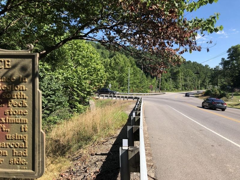
3. The view south on Old Highway US-23.
Photographed by Mark Hilton, July 13, 2019
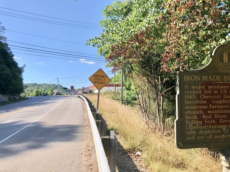
4. The view north on KY-2565 of the reverse side of the marker.
Credits. This page was last revised on November 24, 2025. It was originally submitted on July 21, 2019, by Mark Hilton of Montgomery, Alabama. This page has been viewed 551 times since then and 33 times this year. Photos: 1. submitted on July 21, 2019, by Mark Hilton of Montgomery, Alabama. 2. submitted on February 17, 2020, by J. J. Prats of Powell, Ohio. 3, 4. submitted on July 21, 2019, by Mark Hilton of Montgomery, Alabama.
