Near Interior in Jackson County, South Dakota — The American Midwest (Upper Plains)
Anatomy of a Badland
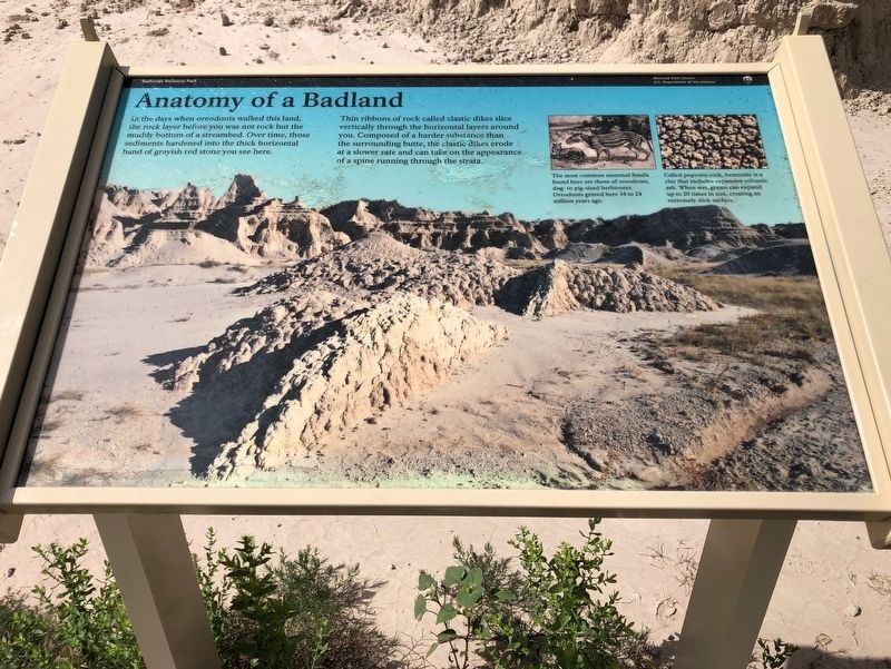
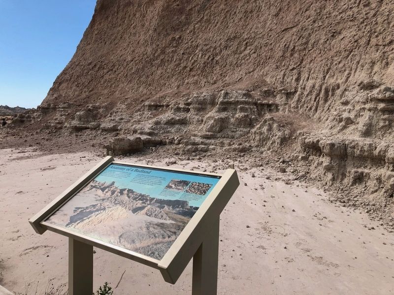
In the days when oreodonts walked this land, the rock layer before you was not rock but the muddy bottom of a streambed. Over time, those sediments hardened into the thick horizontal band of grayish red stone you see here.
Thin ribbons of rock called clastic dikes slice vertically through the horizontal layers around you. Composed of a harder substance than the surrounding butte, the clastic dikes erode at a slower rate and can take on the appearance of a spine running through the strata.
The most common mammal fossils found here are those of oreodonts, dog-to pig-sized herbivores. Oreodonts grazed here 34 to 24 million years ago.
Called popcorn rock, bentonite is a clay that includes expansive volcanic ash. When wet, grains can expand up to 20 times in size, creating an extremely slick surface.
Erected by Badlands National Park, National Park Service, U.S. Department of the Interior.
Topics. This historical marker is listed in these topic lists: Paleontology • Parks & Recreational Areas.
Location. 43° 45.86′ N, 101° 55.54′ W. Marker is near Interior, South Dakota, in Jackson County. Marker is on Enter The Door Trail . Located at the beginning of the Door Trail. Touch for map. Marker is at or near this postal address: 20687 SD-240, Interior SD 57750, United States of America. Touch for directions.
Other nearby markers. At least 8 other markers are within 4 miles of this marker, measured as the crow flies. Mako sica (within shouting distance of this marker); Badlands Oasis (approx. 0.9 miles away); Cliff Shelf Nature Trail (approx. one mile away); The Badlands Wall (approx. 1.9 miles away); Saddle Pass Trail (approx. 2˝ miles away); Bands of Time (approx. 3.9 miles away); What a Find! (approx. 3.9 miles away); A 75-Million-Year Walk (approx. 3.9 miles away). Touch for a list and map of all markers in Interior.
Credits. This page was last revised on July 23, 2019. It was originally submitted on July 22, 2019, by Ruth VanSteenwyk of Aberdeen, South Dakota. This page has been viewed 191 times since then and 18 times this year. Photos: 1, 2, 3. submitted on July 22, 2019, by Ruth VanSteenwyk of Aberdeen, South Dakota. • Bill Pfingsten was the editor who published this page.


