Near Tuthill in Bennett County, South Dakota — The American Midwest (Upper Plains)
Civilian Conservation Corps Camp
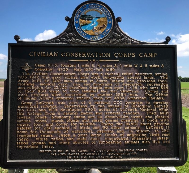
Photographed by Ruth VanSteenwyk, July 18, 2019
1. Civilian Conservation Corps Camp Marker
Camp BF-3: located 1 mile E, 4 miles S, 1 mile W & 5 miles S
Company: 4723 May 1937-Fall 1939
The Civilian Conservation Corps was a federal relief program during 1933-1942 that gave jobless men work renovating abused lands. The Army built 48 200-man camps in South Dakota and provided food, clothing, medical care, pay and programs of education, recreation and religion for 23,709 enrollees (single men aged 17 - 25 who sent $25 of their $30 wage to their families) and war veterans. Camps and work projects were supervised by another 2834 men. The Office of Indian Affairs operated smaller units for 4554 American Indians.
Camp LaCreek was part of a national CCC program to develop waterfowl refuges. Supervised by the Bureau of Biological Survey the CCC and WPA developed 9302 acres of LaCreek National Wildlife Refuge from a natural marsh and several ranches. They built levees, roads, boundary fence and an observation tower and planted shrubs, trees, marsh plants and small grains creating 11 pools with water, food and cover for wildlife. Today the 16,410 acres provide habitat for 250 species of birds and 50 other animals.
this page online
Erected 1991 by CCC Alumni, the South Dakota Historical Society, the South Dakota Department of Transportation and the U.S. Fish and Wildlife Service. (Marker Number 540.)
Topics and series. This historical marker is listed in these topic lists: Charity & Public Work • Parks & Recreational Areas. In addition, it is included in the Civilian Conservation Corps (CCC), and the South Dakota State Historical Society Markers series lists. A significant historical month for this entry is May 1937.
Location. 43° 12.904′ N, 101° 30.773′ W. Marker is near Tuthill, South Dakota, in Bennett County. It is at the intersection of U.S. 18 and 230th Avenue (State Highway 73), on the right when traveling west on U.S. 18. Touch for map. Marker is at or near this postal address: 23005, Tuthill SD 57574, United States of America. Touch for directions.

Regionally,
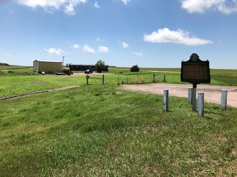
Photographed by Ruth VanSteenwyk, July 18, 2019
2. Civilian Conservation Corps Camp Marker
Credits. This page was last revised on December 25, 2024. It was originally submitted on July 24, 2019, by Ruth VanSteenwyk of Aberdeen, South Dakota. This page has been viewed 1,362 times since then and 103 times this year. Photos: 1, 2. submitted on July 24, 2019, by Ruth VanSteenwyk of Aberdeen, South Dakota. • Andrew Ruppenstein was the editor who published this page.
