Near Nancy in Pulaski County, Kentucky — The American South (East South Central)
Victory!
Mill Springs Battlefield
— National Historic Landmark —
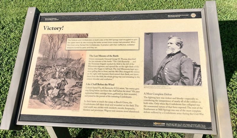
The Last Minutes of the Battle
Union commander General George H. Thomas described the last minutes of the battle: "The 12th Kentucky . . . and the Tennessee brigade reached the field to the left of the Minnesota regiment, and opened fire on the right flank of the enemy, who began to fall back. The 2nd Minnesota kept up a most galling fire in front, and the 9th Ohio charged the enemy on the right with bayonets fixed, turned their flank, and drove them from the field, the whole giving way and retreating in the utmost disorder and confusion."
Like Chaff Before the Wind
Colonel Speed Fry, 4th Kentucky (U.S.) wrote, "the enemy gave way, flying before our forces like chaff before the wind." His men replenished their cartridge-boxes, gathered up their wounded, and joined in the pursuit of the retreating Confederates.
In their haste to reach the camp at Beech Grove, the Confederates left their dead and wounded on the field. The road south was strewn with muskets, swords, knapsacks, blankets and provisions. Wagons and cannons stood abandoned.
A Most Complete Defeat
The fighting here was violent and bloody-especially so, considering the inexperience of nearly all of the soldiers on both sides. Only when the Confederate line collapsed was the unseasoned nature of that force exposed. The rout of the Southerners at Mill Springs was one of the most complete defeats suffered by a Confederate army during the Civil War.
Drawing inset
The Federals and Confederates on both sides of the Mill Springs road struggled to gain the upper hand. By late morning the better-armed Union troops had prevailed. When the Union army flanked the Confederates, frustration with their ineffective, outdated weapons turned to panic and they ran.
Photo caption: Union commander Gen. George H. Thomas was a West Point graduate and veteran of the Mexican War.
Erected 2014 by Mill Springs Battlefield Association.
Topics and series. This historical marker is listed in these topic lists: Landmarks • War, US Civil. In addition, it is included in the National Historic Landmarks series list.
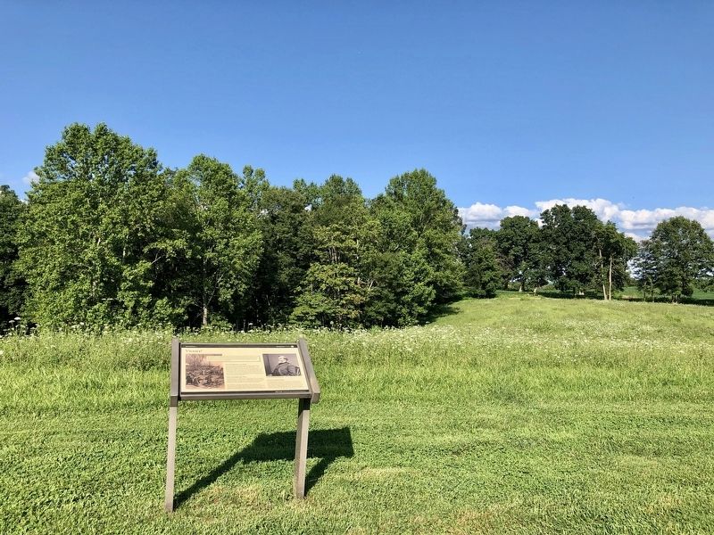
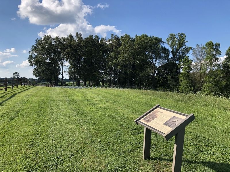
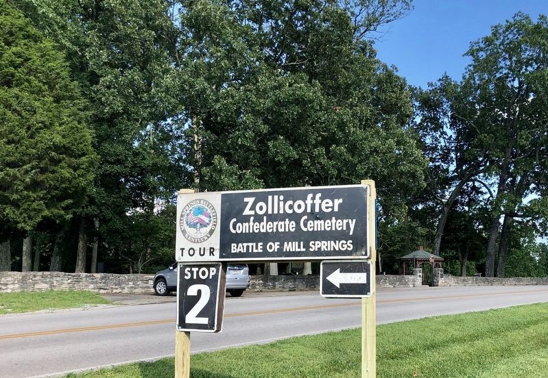
Location. 37° 3.294′ N, 84° 44.35′ W. Marker is near Nancy, Kentucky, in Pulaski County. Marker can be reached from Kentucky Route 235, 0.1 miles Kentucky Route 761, on the left when traveling south. This is the final marker of the Battlefield Loop Trail, at Tour Stop 2. Touch for map. Marker is in this post office area: Nancy KY 42544, United States of America. Touch for directions.
Other nearby markers. At least 8 other markers are within walking distance of this marker. The Union Advance (within shouting distance of this marker); "Confederate Mass Grave"
(within shouting distance of this marker); Dawn of Battle (within shouting distance of this marker); Confederate Dead (within shouting distance of this marker); Confederate Mass Grave Memorial (within shouting distance of this marker); Mill Springs Battlefield (within shouting distance of this marker); Gen'l Felix K. Zollicoffer (within shouting distance of this marker); A Fatal Mistake (about 300 feet away, measured in a direct line). Touch for a list and map of all markers in Nancy.
Also see . . . Battle of Mills Spring. Wikipedia entry (Submitted on October 30, 2022, by Larry Gertner of New York, New York.)
Credits. This page was last revised on October 30, 2022. It was originally submitted on July 24, 2019, by Mark Hilton of Montgomery, Alabama. This page has been viewed 244 times since then and 21 times this year. Photos: 1, 2, 3, 4. submitted on July 24, 2019, by Mark Hilton of Montgomery, Alabama.


