Kinsale in County Cork, Munster, Ireland — Irish South-West ((Éire) North Atlantic Ocean)
Kinsale Town Wall
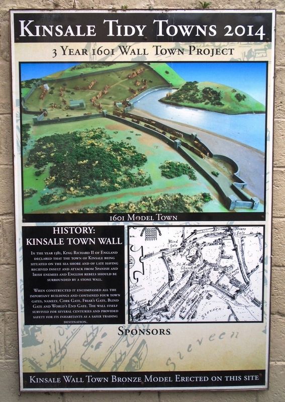
Kinsale Tidy Towns 2014
| — | 3 Year 1601 Wall Town Project | — |
Photographed by William Fischer, Jr., May 17, 2019
1. Kinsale Town Wall Marker
In the year 1381, King Richard II of England declared that the town of Kinsale being situated on the sea shore and of late having recieved [sic] insult and attack from Spanish and Irish enemies and English rebels should be surrounded by a stone wall.
When constructed it encompassed all the important buildings and contained four town gates, namely, Cork Gate, Friar's Gate, Blind Gate and World's End Gate. The wall itself survived for several centuries and provided safety for its inhabitants as a safer trading destination.
Erected by Bandon/Kinsale Municipal District, Kinsale Tidy Towns, Cork County Council, Kinsale Chamber of Tourism, et al.
Topics. This historical marker is listed in these topic lists: Forts and Castles • Settlements & Settlers. A significant historical year for this entry is 1381.
Location. 51° 42.381′ N, 8° 31.429′ W. Marker is in Kinsale, Munster, in County Cork. It is at the intersection of Market Street and Milk Market, on the right when traveling west on Market Street. Touch for map. Marker is in this post office area: Kinsale, Munster P17 VY24, Ireland.
this page online

Regionally, it is on the Atlantic Ocean, in the North Atlantic Region, on the Atlantic Arc, in Europe, on the Island of Ireland, on the Celtic Fringe, in the European Union, in Atlantic Europe, on one of the British Isles, in the Western World, and in the Anglosphere.
Other nearby markers. At least 8 other markers are within walking distance of this marker: Kinsale - A Walled Town (here, next to this marker); The History of The Tumble Cart (here, next to this marker); Peter Barry (within shouting distance of this marker); Múseum / Museum (within shouting distance of this marker); Lt Michael P Murphy (within shouting distance of this marker); The White House (within shouting distance of this marker); Nautical Artefacts at Kinsale Museum (within shouting distance of this marker); Blue Haven Old Fish Market Wall Restoration (within shouting distance of this marker). Touch for a list and map of all markers in Kinsale.
Also see . . .
1. History of Kinsale. (Submitted on July 24, 2019, by William Fischer, Jr. of Reynoldsburg, Ohio.)
2. Kinsale Regional Museum. Go To Ireland website entry
Photographed by William Fischer, Jr., May 17, 2019
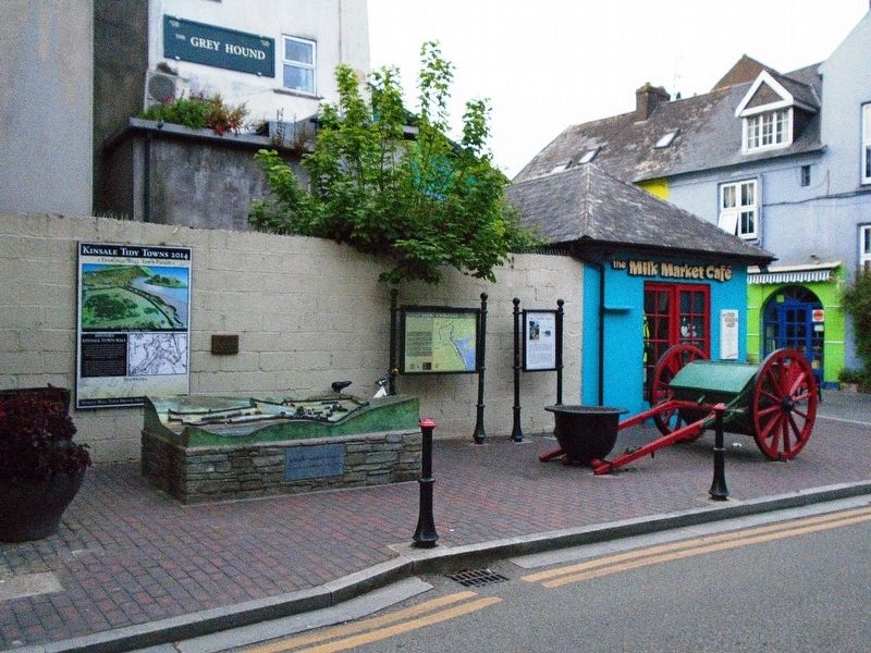
2. Kinsale Town Wall Model and Markers
Photographed by William Fischer, Jr., May 17, 2019
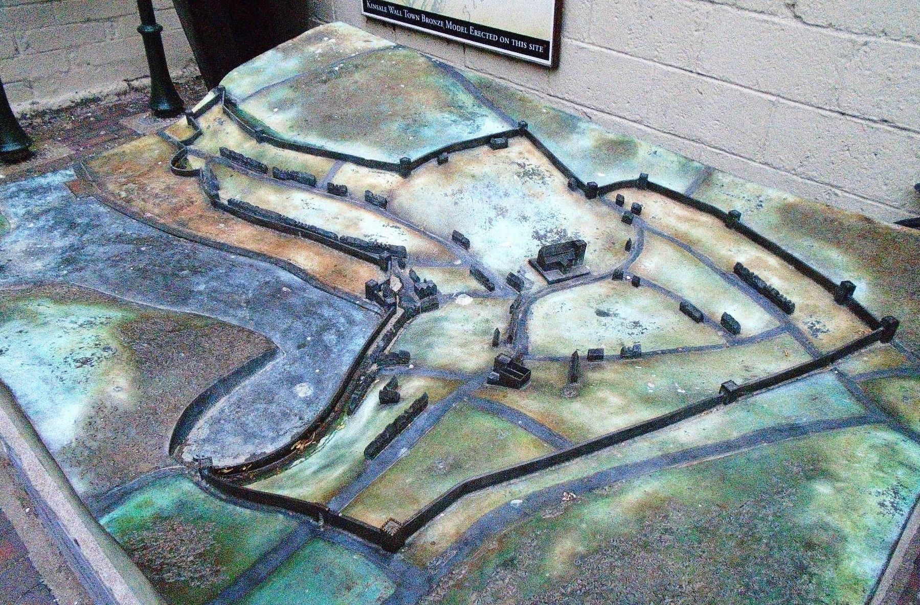
3. Kinsale Town Wall Model
Credits. This page was last revised on August 4, 2025. It was originally submitted on July 24, 2019, by William Fischer, Jr. of Reynoldsburg, Ohio. This page has been viewed 907 times since then and 90 times this year. Photos: 1, 2, 3. submitted on July 24, 2019, by William Fischer, Jr. of Reynoldsburg, Ohio.
