Near Willoughby Hills in Lake County, Ohio — The American Midwest (Great Lakes)
The Pleasant Valley Road Bridge
Photographed by J. J. Prats, June 22, 2019
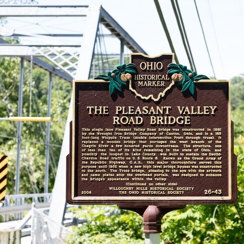
1. The Pleasant Valley Road Bridge Marker, side one
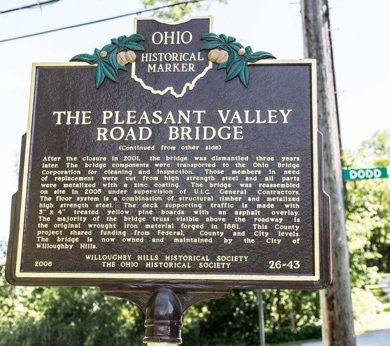
After the closure in 2001, the bridge was dismantled three years later. The bridge components were transported to the Ohio Bridge Corporation for cleaning and inspection. Those members in need of replacement were cut from high-strength steel and all parts were metalized with a
this page online
Erected 2006 by the Willoughby Hills Historical Society and The Ohio Historical Society. (Marker Number 26-43.)
Topics and series. This historical marker is listed in this topic list: Bridges & Viaducts. In addition, it is included in the Ohio Historical Society / The Ohio History Connection series list. A significant historical year for this entry is 1881.
Location. 41° 35.388′ N, 81° 24.136′ W. Marker is near Willoughby Hills, Ohio, in Lake County. It is at the intersection of Pleasant Valley Road and Dodd Road, on the left when traveling east on Pleasant Valley Road. Touch for map.
Photographed by J. J. Prats, June 22, 2019
2. The Pleasant Valley Road Bridge Marker, side two

Regionally, this marker is in Greater Cleveland, on the Lake Erie Shore, and in the Western Reserve. It is also in the American Midwest. Globally, it is in North America, on the Great Lakes, in the Western Hemisphere, in the Western World, and in the Anglosphere. Historically, it finds itself in what was once the Haudenosaunee (Iroquois) Confederacy, the territory of the Mississippian Culture, and the Northwest Territory.
Other nearby markers. At least 8 other markers are within 4 miles of this marker, measured as the crow flies: Squire's Castle (approx. 1.1 miles away); a different marker also named Squire's Castle (approx. 1.1 miles away); The "Castle" As It Was / The "Castle" Today (approx. 1.1 miles away); Willoughby Hills Veterans Memorial (approx. 1½ miles away); Sidney and Phoebe Rigdon Home (approx. 3.2 miles away); Kirtland Temple (approx. 3.2 miles away); a different marker also named Kirtland Temple (approx. 3.2 miles away); Faith, Family, Community, and Industry (approx.
Photographed by J. J. Prats, June 22, 2019
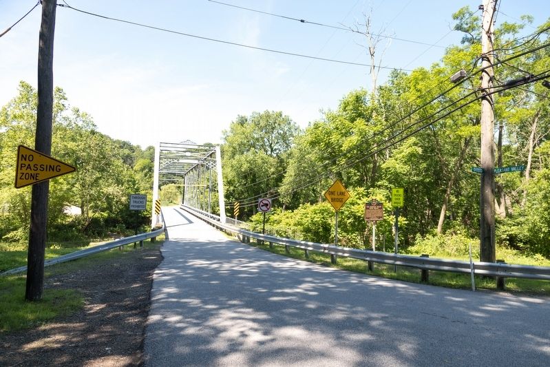
3. The Pleasant Valley Road Bridge and Marker
Another marker is no longer nearby. Kirtland Temple (was approx. 3.2 miles away but has been permanently removed).
Photographed by J. J. Prats, June 22, 2019
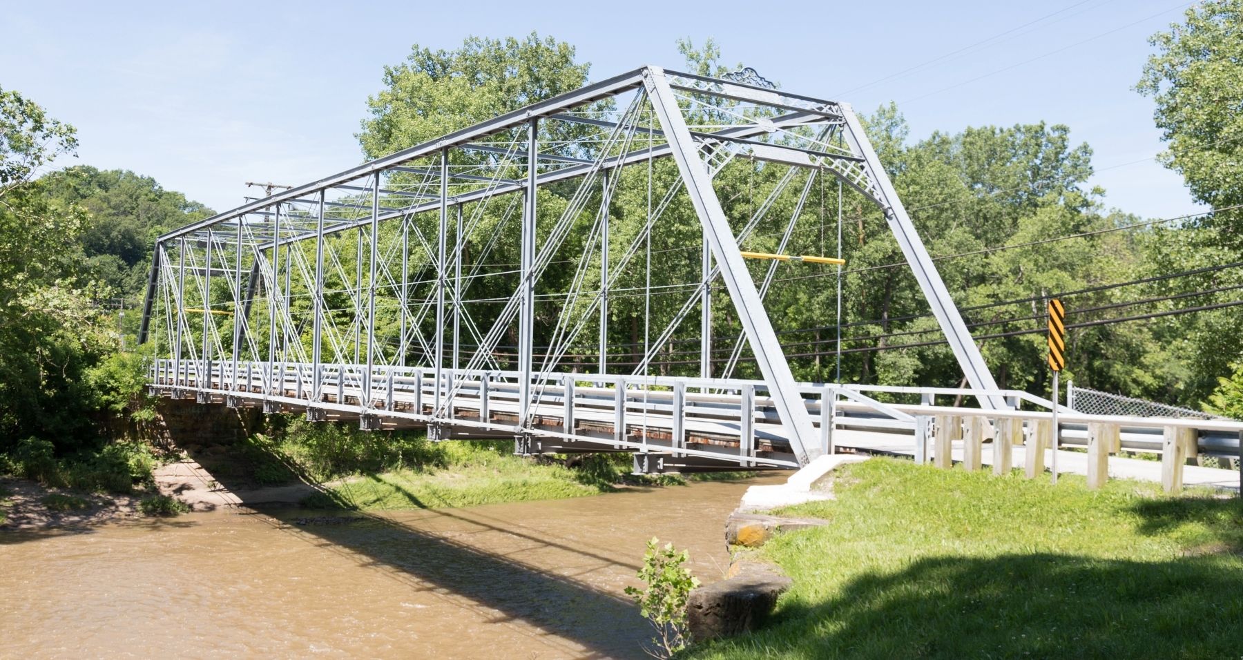
4. The Pleasant Valley Road Bridge
Credits. This page was last revised on July 25, 2019. It was originally submitted on July 25, 2019, by J. J. Prats of Powell, Ohio. This page has been viewed 1,037 times since then and 60 times this year. Photos: 1, 2, 3, 4. submitted on July 25, 2019, by J. J. Prats of Powell, Ohio.
