Near Nancy in Wayne County, Kentucky — The American South (East South Central)
Zollie's Den
Mill Springs Battlefield
— National Historic Landmark —
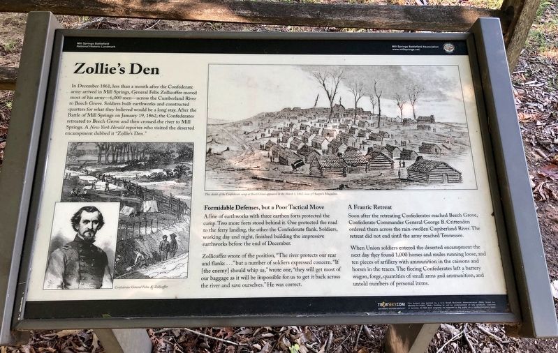
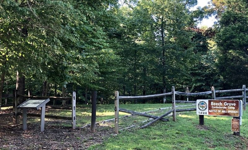
In December 1861, less than a month after the Confederate army arrived in Mill Springs, General Felix Zollicoffer moved most of his army—6,000 men—across the Cumberland River to Beech Grove. Soldiers built earthworks and constructed quarters for what they believed would be a long stay. After the Battle of Mill Springs on January 19, 1862, the Confederates retreated to Beech Grove and then crossed the river to Mill Springs. A New York Herald reporter who visited the deserted encampment dubbed it "Zollie's Den."
Formidable Defenses, but a Poor Tactical Move
A line of earthworks with three earthen forts protected the camp. Two more forts stood behind it. One protected the road to the ferry landing, the other the Confederate flank. Soldiers, working day and night, finished building the impressive earthworks before the end of December.
Zollicoffer wrote of the position, "The river protects our rear and flanks ..." but a number of soldiers expressed concern. "If [the enemy] should whip us," wrote one, "they will get most of our baggage as it will be impossible for us to get it back across the river and save ourselves." He was correct.
A Frantic Retreat
Soon after the retreating Confederates reached Beech Grove, Confederate Commander General George B. Crittenden ordered them across the rain-swollen Cumberland River. The retreat did not end until the army reached Tennessee.
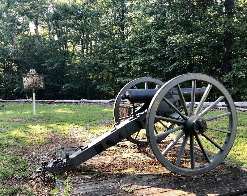
When Union soldiers entered the deserted encampment the next day they found 1,000 horses and mules running loose, and ten pieces of artillery with ammunition in the caissons and horses in the traces. The fleeing Confederates left a battery wagon, forge, quantities of small arms and ammunition, and untold numbers of personal items.
Inset sketches: Left: Confederate General Felix. K. Zollicoffer
Right: This sketch of the Confederate camp at Beech Grove appeared in the March 1, 1862, issue of Harper's Magazine.
Erected 2014 by Mill Springs Battlefield Association.
Topics and series. This historical marker is listed in these topic lists: Landmarks • War, US Civil. In addition, it is included in the National Historic Landmarks series list. A significant historical date for this entry is January 19, 1862.
Location. 36° 57.158′ N, 84° 47.045′ W. Marker is near Nancy, Kentucky, in Wayne County. Marker is on Mill Springs-Battlefield Road, on the right when traveling south. Touch for map. Marker is at or near this postal address: Mill Springs-Battlefield Road, Nancy KY 42544, United States of America. Touch for directions.
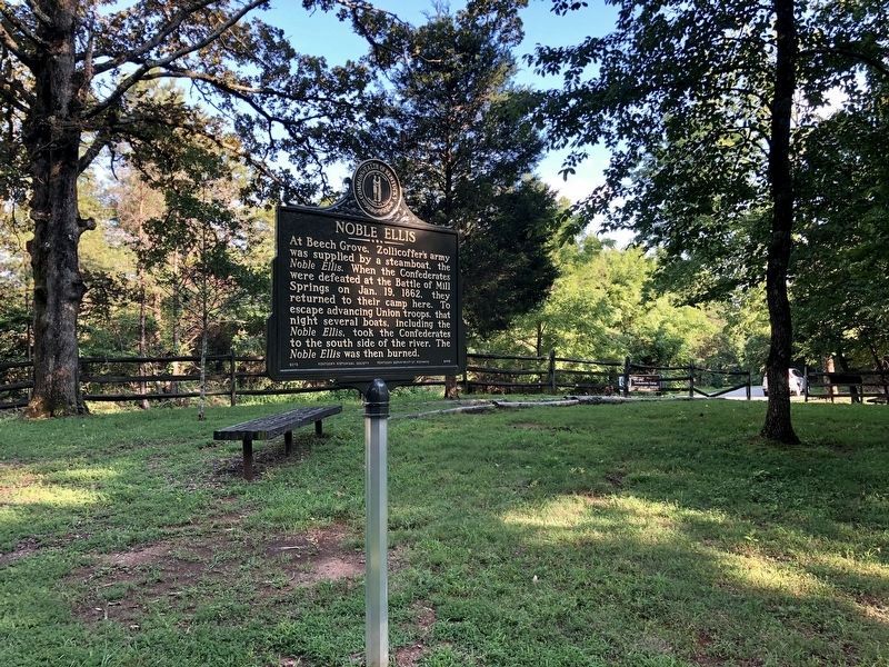
Other nearby markers. At least 8 other markers are within 2 miles of this marker, measured as the crow flies. Beech Grove / Noble Ellis (within shouting distance of this
marker); Winter Quarters (about 500 feet away, measured in a direct line); Fortifications at Beech Grove (about 600 feet away); Respite at Moulden's Hill (approx. 0.6 miles away); The Noble Ellis Saves an Army (approx. ¾ mile away); The Cumberland River (approx. 1.4 miles away); The Battle of Mill Springs (approx. 1.4 miles away); Home, Headquarters, Hospital (approx. 1.4 miles away). Touch for a list and map of all markers in Nancy.
More about this marker. This marker replaced an older one at this location also titled “Zollie's Den”.
Also see . . . Battle of Mills Spring. Wikipedia entry (Submitted on October 30, 2022, by Larry Gertner of New York, New York.)
Credits. This page was last revised on October 30, 2022. It was originally submitted on July 25, 2019, by Mark Hilton of Montgomery, Alabama. This page has been viewed 224 times since then and 34 times this year. Photos: 1, 2, 3. submitted on July 25, 2019, by Mark Hilton of Montgomery, Alabama. 4. submitted on March 3, 2021, by Bradley Owen of Morgantown, West Virginia. 5. submitted on March 5, 2021, by Bradley Owen of Morgantown, West Virginia. 6. submitted on July 25, 2019, by Mark Hilton of Montgomery, Alabama.
