Cockeysville in Baltimore County, Maryland — The American Northeast (Mid-Atlantic)
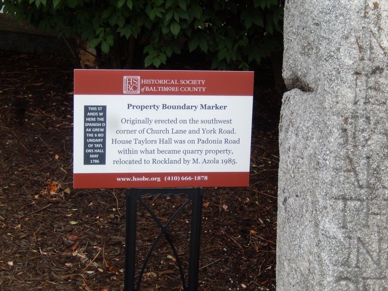
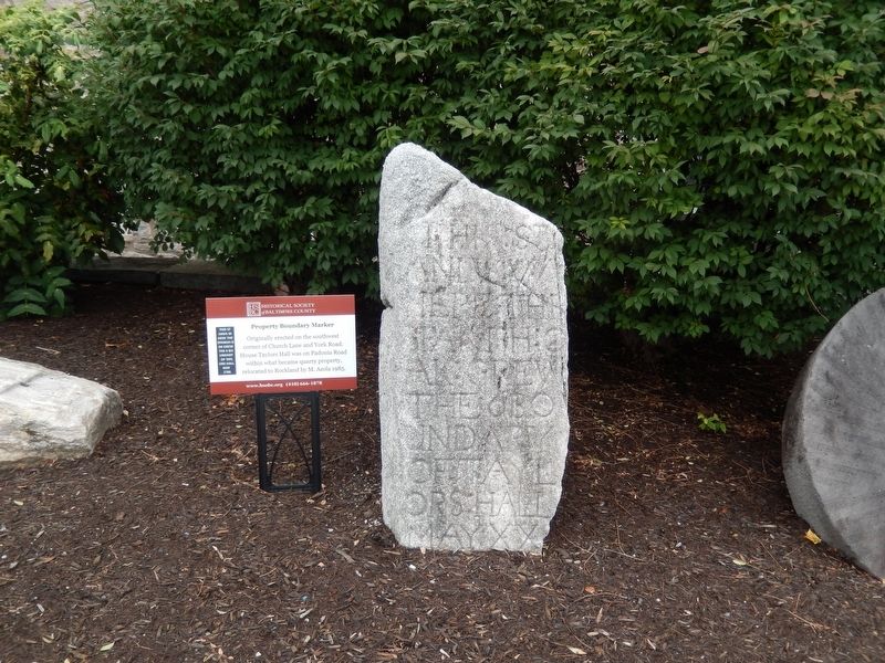
Property Boundary Marker
Erected by Baltimore County Historical Society.
Topics. This historical marker is listed in this topic list: Notable Places.
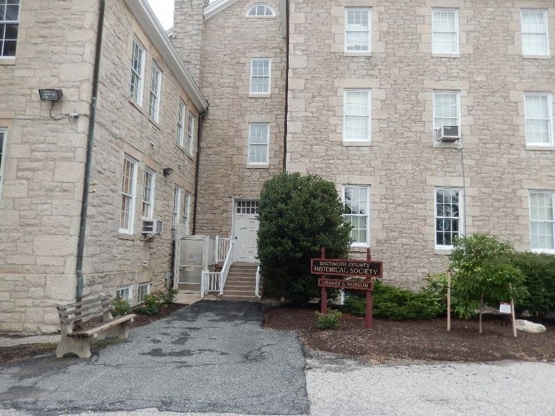
Location. 39° 27.6′ N, 76° 37.656′ W. Marker is in Cockeysville, Maryland, in Baltimore County. Marker is on Van Buren Lane. The marker is on the lawn of the Baltimore County Historical Society. Touch for map. Marker is at or near this postal address: 9811 Van Buren Lane, Cockeysville MD 21030, United States of America. Touch for directions.
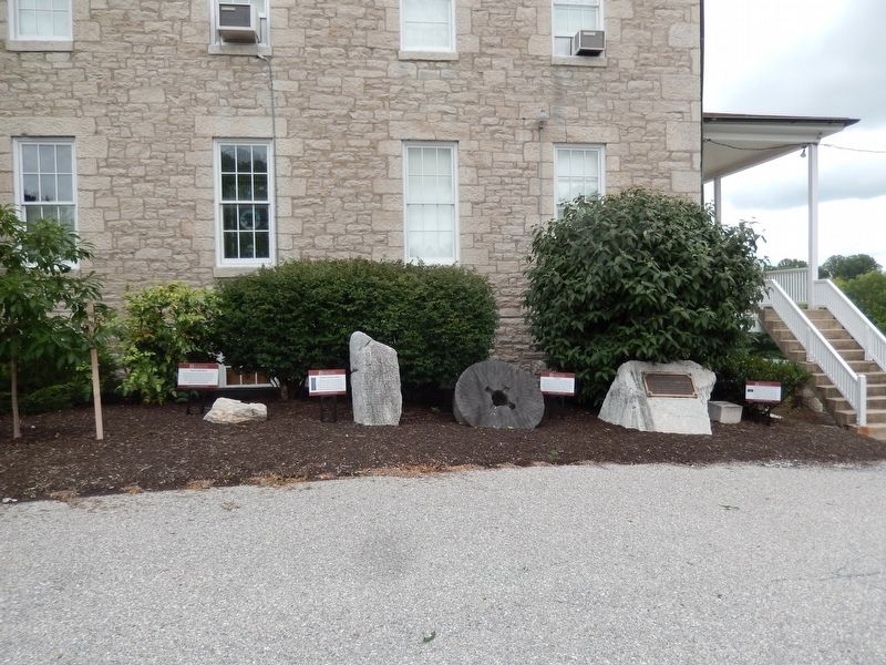
Other nearby markers. At least 8 other markers are within walking distance of this marker. White Marble Block (here, next to this marker); Millstone (here, next to this marker); Cornerstone from Wesley Chapel (here, next to this marker); Third and Last County Almshouse (within shouting distance of this marker); World War II and Korean War Memorial (approx. 0.4 miles away); The Field of Honor (approx. 0.4 miles away); Memorial to Marylanders-Liberation of Kuwait (approx. 0.4 miles away); Memorial to All Marylanders who lost lives to Terrorists (approx. 0.4 miles away). Touch for a list and map of all markers in Cockeysville.
Credits. This page was last revised on April 21, 2021. It was originally submitted on July 27, 2019, by Don Morfe of Baltimore, Maryland. This page has been viewed 367 times since then and 30 times this year. Photos: 1, 2, 3, 4. submitted on July 27, 2019, by Don Morfe of Baltimore, Maryland. • Bill Pfingsten was the editor who published this page.


