Shelbyville in Shelby County, Kentucky — The American South (East South Central)
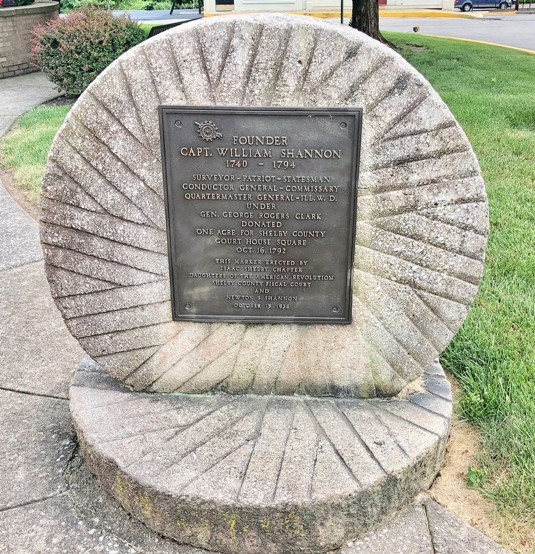
Founder Capt. William Shannon
1740 - 1794
Conductor General - Commissary
Quartermaster General-Ill. W.D.
under
Gen. George Rogers Clark
Donated
One Acre for Shelby County
Court House Square
Oct. 16, 1792
Erected 1938 by Issac Shelby Chapter Daughters of the American Revolution, Shelby County Fiscal Court and Newton S. Shannon.
Topics and series. This historical marker is listed in these topic lists: Patriots & Patriotism • Settlements & Settlers • War, US Revolutionary. In addition, it is included in the Daughters of the American Revolution series list. A significant historical year for this entry is 1792.
Location. 38° 12.651′ N, 85° 12.939′ W. Marker is in Shelbyville, Kentucky, in Shelby County. Marker is at the intersection of Main Street (Kentucky Route 53) and 5th Street, on the right when traveling east on Main Street. Touch for map. Marker is at or near this postal address: Main Street, Shelbyville KY 40065, United States of America. Touch for directions.
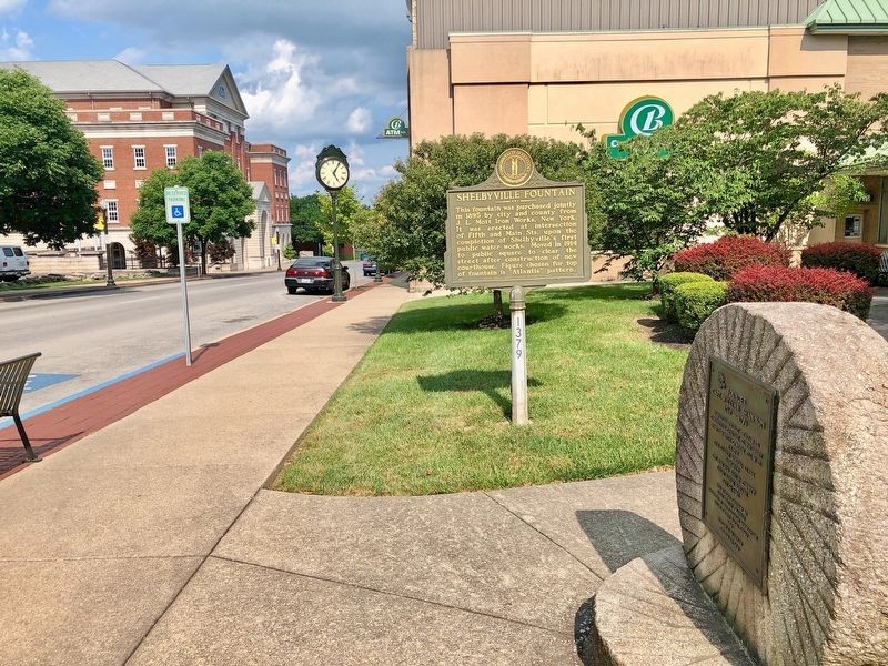
Other nearby markers. At least 8 other markers are within walking distance of this marker. Shelbyville Fountain (here, next to this marker); The Blockhouse / Martin's Raid (a few steps from this marker); Squire Boone's Station, 1779 (a few steps from this marker); Shelby County WWI Honor Roll (within shouting distance of this marker); Shelby County, 1792 (within shouting distance of this marker); Lewis and Clark in Kentucky 1806 Return of Expedition / Death of Meriwether Lewis (within shouting distance of this marker); Reconstruction in America / Lynching of Reuben Dennis (about 300 feet away, measured in a direct line); Lynching in America / Lynching of Sam Pulliam (about 300 feet away). Touch for a list and map of all markers in Shelbyville.
Credits. This page was last revised on November 5, 2020. It was originally submitted on July 29, 2019, by Mark Hilton of Montgomery, Alabama. This page has been viewed 284 times since then and 32 times this year. Photos: 1, 2. submitted on July 29, 2019, by Mark Hilton of Montgomery, Alabama.

