Fort Gay in Wayne County, West Virginia — The American South (Appalachia)
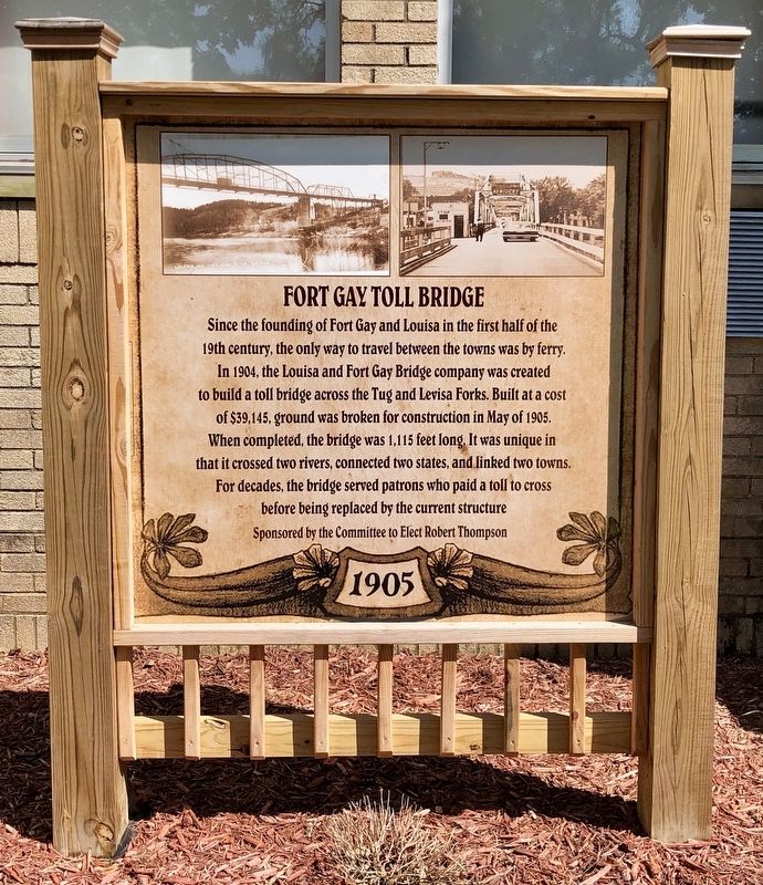
Fort Gay Toll Bridge
1905
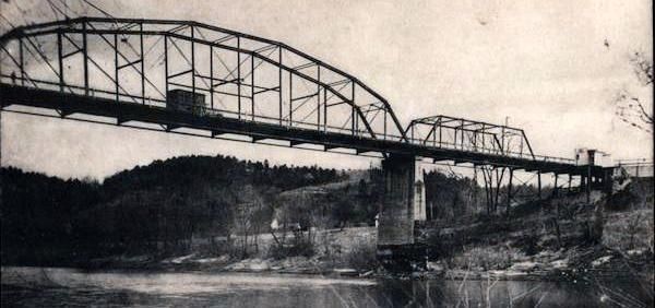
Since the founding of Fort Gay and Louisa in the first half of the 19th century, the only way to travel between the towns was by ferry. In 1904, the Louisa and Fort Gay Bridge company was created to build a toll bridge across the Tug and Levisa Forks. Built at a cost of $39,145, ground was broken for construction in May of 1905. When completed, the bridge was 1,115 feet long It was unique in that it crossed two rivers, connected two states, and linked two towns. For decades, the bridge served patrons who paid a toll to cross before being replaced by the current structure
Erected by the Committee to Elect Robert Thompson.
Topics. This historical marker is listed in this topic list: Bridges & Viaducts. A significant historical month for this entry is May 1905.
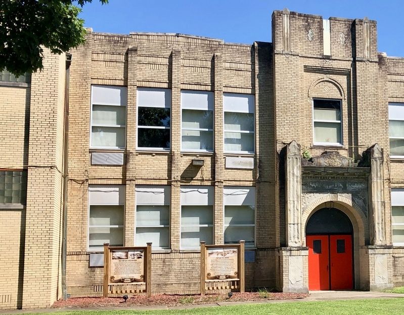
Location. 38° 7.014′ N, 82° 35.627′ W. Marker is in Fort Gay, West Virginia, in Wayne County. Marker is on Court Street (West Virginia Route 37) east of Vancouver Street, on the right when traveling east. Touch for map. Marker is at or near this postal address: Court Street, Fort Gay WV 25514, United States of America. Touch for directions.
Other nearby markers. At least 8 other markers are within walking distance of this marker. The Fort Gay Lock and Dam (here, next to this marker); Fort Gay (within shouting distance of this marker); Frederick M. Vinson (approx. 0.4 miles away in Kentucky); Lawrence County Veterans Memorial (approx. half a mile away in Kentucky); County Named, 1821 (approx. half a mile away in Kentucky); Old Floyd County / Lawrence County Revolutionary War Memorial (approx. half a mile away in Kentucky); Vancouver’s Fort (approx. half a mile away in Kentucky); Louisa in Civil War (approx. half a mile away in Kentucky). Touch for a list and map of all markers in Fort Gay.

via Card Cow, Unknown
4. Louisa, Kentucky - Ft. Gay, West Virginia Bridge
Sam Terry's Kentucky Blog entry
Click for more information.
Click for more information.
Credits. This page was last revised on October 27, 2023. It was originally submitted on July 30, 2019, by Mark Hilton of Montgomery, Alabama. This page has been viewed 785 times since then and 48 times this year. Photos: 1, 2, 3. submitted on July 30, 2019, by Mark Hilton of Montgomery, Alabama. 4. submitted on September 6, 2022, by Larry Gertner of New York, New York.


