Near Alum Creek in Lincoln County, West Virginia — The American South (Appalachia)
Forks of Coal Missionary Baptist Church
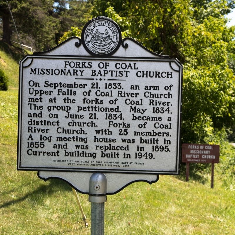
Photographed by J. J. Prats, July 13, 2019
1. Forks of Coal Missionary Baptist Church Marker
Erected 2012 by the Forks of Coal Missionary Baptist Church and West Virginia Archives and History.
Topics and series. This memorial is listed in this topic list: Religion & Religious Structures. In addition, it is included in the West Virginia Archives and History series list.
Location. 38° 17.211′ N, 81° 48.675′ W. Memorial is near Alum Creek, West Virginia, in Lincoln County. It is at the intersection of Childress Road (West Virginia Route 214) and Little Coal River road, on the right when traveling west on Childress Road. It is at the church. Touch for map. Memorial is at or near this postal address: 2090 Childress Rd, Alum Creek WV 25003, United States of America. Touch for directions.

Regionally, this memorial is in Greater Charleston Area. It
this page online
Other nearby markers. At least 8 other markers are within 7 miles of this marker, measured as the crow flies: Alum Creek (approx. 1.3 miles away); Bangor Cemetery (approx. 6.2 miles away); Birkett Davenport Fry (approx. 6.3 miles away); George Washington (approx. 6.6 miles away); Morgan Kitchen Museum (approx. 6.7 miles away); Canty House (approx. 6.8 miles away); East Hall (approx. 6.8 miles away); Kappa Alpha Psi (approx. 6.8 miles away).
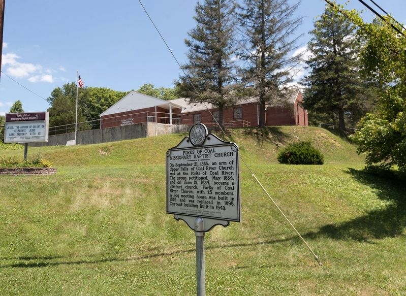
Photographed by J. J. Prats, July 13, 2019
2. Forks of Coal Missionary Baptist Church and Marker
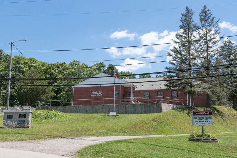
Photographed by J. J. Prats, July 13, 2019
3. Forks of Coal Missionary Baptist Church
Credits. This page was last revised on August 2, 2019. It was originally submitted on August 2, 2019, by J. J. Prats of Powell, Ohio. This page has been viewed 599 times since then and 54 times this year. Photos: 1, 2, 3. submitted on August 2, 2019, by J. J. Prats of Powell, Ohio.
