Alum Creek in Kanawha County, West Virginia — The American South (Appalachia)
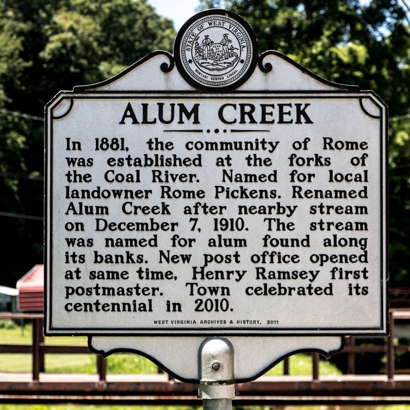
Alum Creek
Erected 2011 by West Virginia Archives and History.
Topics and series. This historical marker is listed in these topic lists: Political Subdivisions • Settlements & Settlers. In addition, it is included in the West Virginia Archives and History series list. A significant historical date for this entry is December 7, 1910.
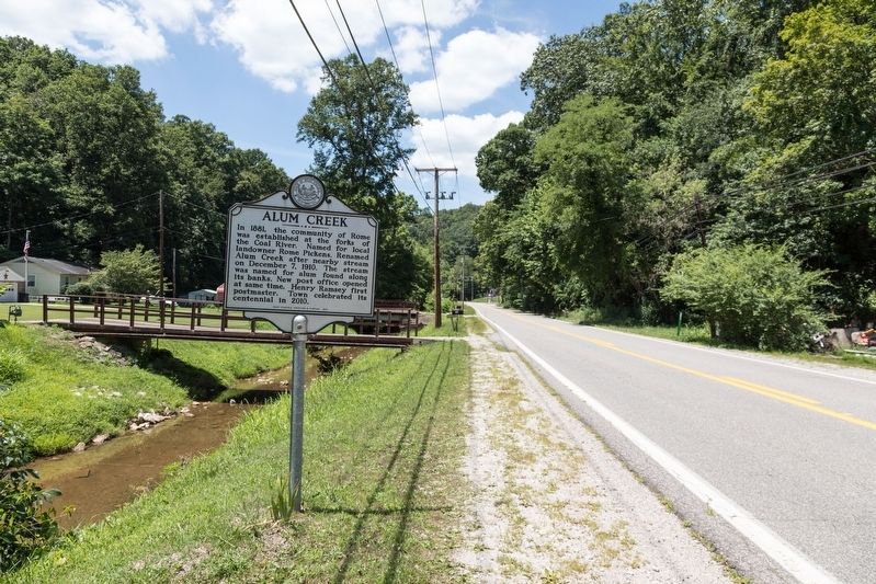
Location. 38° 17.101′ N, 81° 47.229′ W. Marker is in Alum Creek, West Virginia, in Kanawha County. Marker is on Childress Road (West Virginia Route 214) 1.2 miles east of the Lincoln County line at the Coal River bridge (Route 214), on the right when traveling east. Touch for map. Marker is at or near this postal address: 6408 Childress Rd, Alum Creek WV 25003, United States of America. Touch for directions.
Other nearby markers. At least 8 other markers are within 7 miles of this marker, measured as the crow flies. Forks of Coal Missionary Baptist Church (approx. 1.3 miles away); Bangor Cemetery (approx. 6˝ miles away); Birkett Davenport Fry (approx. 6.6 miles away); Canty House (approx. 6.6 miles away); East Hall (approx. 6.6 miles away); Kappa Alpha Psi (approx. 6.6 miles away); Delta Sigma Theta (approx. 6.6 miles away); Nu Chapter, Alpha Kappa Alpha Sorority, Inc. (approx. 6.6 miles away).
Also see . . . Wikipedia entry. Exerpt:
The town of Rome was founded at the junction of the Little and Big Coal rivers in the 1890s by the Childress family. Soon the Chesapeake and Ohio Railway built a line along the Coal River to transport coal from the coal fields in Boone and Logan counties into the hub in nearby town of St. Albans. The town grew and a town council was formed. The town officially changed its name to Alum Creek in 1910. A constable policed the town, although without a vehicle he relied on the generosity of locals to transport him from place to place. In 1922 a set of bridges were constructed across the Big and Little Coal rivers. It was also at approximately this time Union Carbide built Cliffside, a summer camp on the banks of the Coal River. The town flourished for the next half century with most of its residents working in either the mining industries or in chemicals.(Submitted on August 2, 2019.)
Credits. This page was last revised on August 2, 2019. It was originally submitted on August 2, 2019, by J. J. Prats of Powell, Ohio. This page has been viewed 488 times since then and 37 times this year. Photos: 1, 2. submitted on August 2, 2019, by J. J. Prats of Powell, Ohio.

