Pompano Beach in Broward County, Florida — The American South (South Atlantic)
The Pompano Colored School
Photographed by Tim Fillmon, July 30, 2019
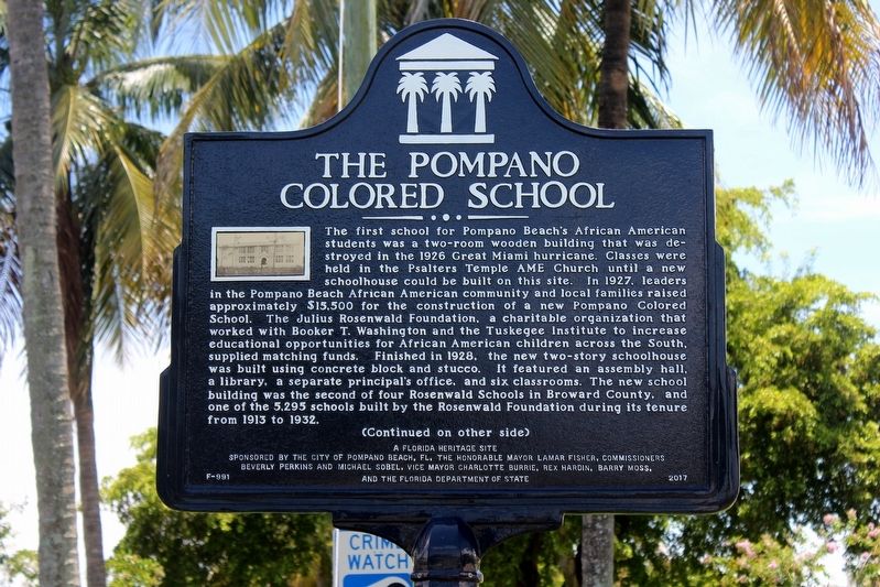
1. The Pompano Colored School Marker Side 1
(Side 1)
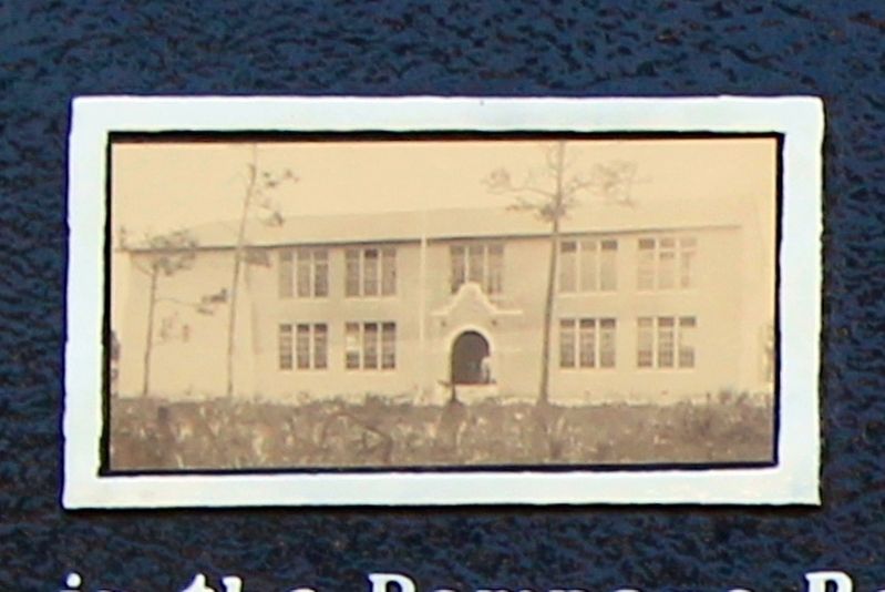
The first school for Pompano Beach’s African American students was a two-room wooden building that was destroyed in the 1926 Great Miami hurricane. Classes were held in the Psalters Temple AME Church until a new schoolhouse could be built on this site. In 1927, leaders in the Pompano Beach African American community and local families raised approximately $15,500 for the construction of a new Pompano Colored School. The Julius Rosenwald Foundation, a charitable organization that worked with Booker T. Washington and the Tuskegee Institute to increase educational opportunities for African American children across the South, supplied matching funds. Finished in 1928, the new two-story schoolhouse was built using concrete block and stucco. It featured an assembly hall, a library, a separate principal’s office, and six classrooms. The new school building was the second of four Rosenwald Schools in Broward County, and one of the 5,295 schools built by the Rosenwald Foundation during its tenure from 1913 to 1932.
this page online
Erected 2017
Photographed by Tim Fillmon, July 30, 2019
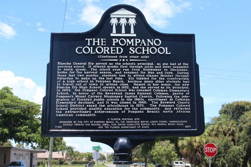
2. The Pompano Colored School Marker Side 2
Topics and series. This historical marker is listed in these topic lists: African Americans • Civil Rights • Education. In addition, it is included in the African Methodist Episcopal (AME) Church, and the Rosenwald Schools series lists. A significant historical year for this entry is 1928.
Location. 26° 14.188′ N, 80° 7.946′ W. Marker is in Pompano Beach, Florida, in Broward County. It is at the intersection of Northwest 7th Terrace and Northwest 6th Street, in the median on Northwest 7th Terrace. Marker is located in Coleman Park which is in the median of Northwest 7th Terrace. Touch for map. Marker is in this post office area: Tampa FL 33630, United States of America. Touch for directions.

Regionally, this marker is in South Florida, on the Gold Coast, and in Greater Miami. It is also in the American South and on the Eastern Seaboard. Globally, it is in the North Atlantic Region, North America,
Photographed by Tim Fillmon, July 30, 2019
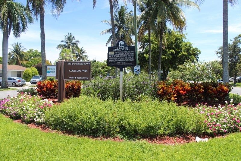
3. The Pompano Colored School Marker looking south
Other nearby markers. At least 8 other markers are within 4 miles of this marker, measured as the crow flies: Silver Thatch Mounted Beach Patrol (approx. 2.6 miles away); Pompano Beach Indian Mound (approx. 2.7 miles away); Indian Mound Park (approx. 2.7 miles away); A History of Hillsboro Inlet Park (approx. 3.4 miles away); Hillsboro Inlet Light Station (approx. 3½ miles away); The Barefoot Mailman (approx. 3.6 miles away); Hillsboro Inlet Lighthouse (approx. 3.6 miles away); SS Copenhagen (approx. 3.6 miles away). Touch for a list and map of all markers in Pompano Beach.
Photographed by Tim Fillmon, July 30, 2019
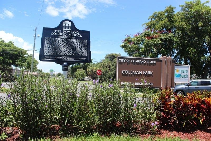
4. The Pompano Colored School Marker looking north
Photographed by Tim Fillmon, July 30, 2019
5. The Pompano Colored School
Credits. This page was last revised on August 3, 2019. It was originally submitted on August 2, 2019, by Tim Fillmon of Webster, Florida. This page has been viewed 1,612 times since then and 95 times this year. Photos: 1, 2, 3, 4, 5. submitted on August 2, 2019, by Tim Fillmon of Webster, Florida. • Bernard Fisher was the editor who published this page.
