Near Peytona in Boone County, West Virginia — The American South (Appalachia)
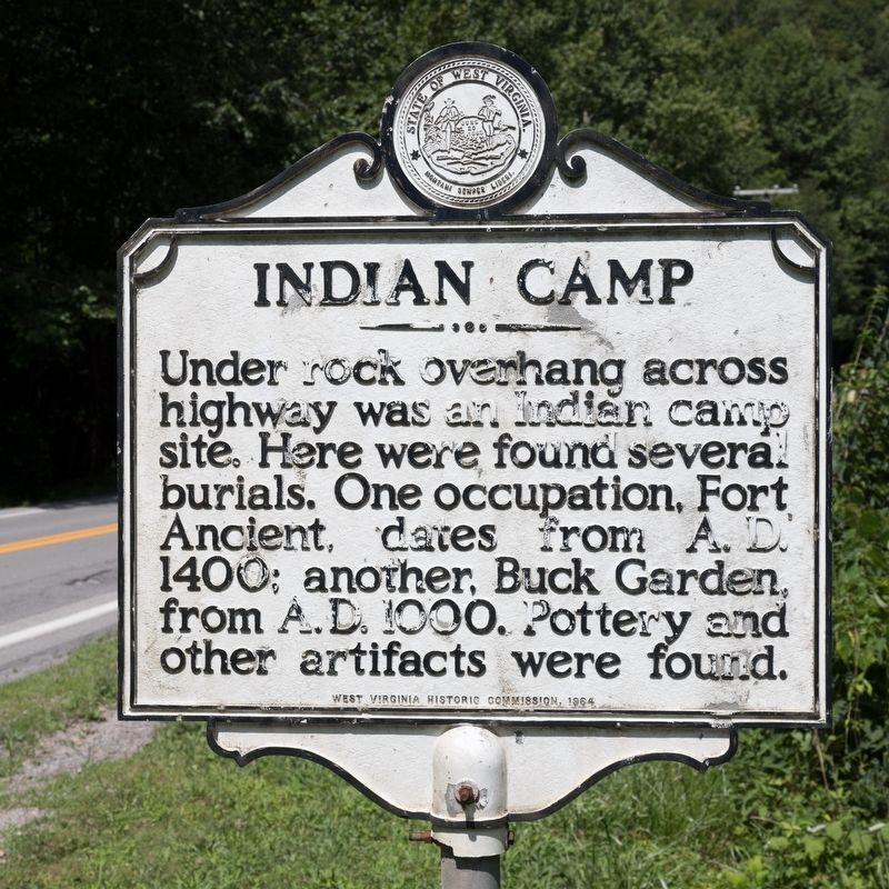
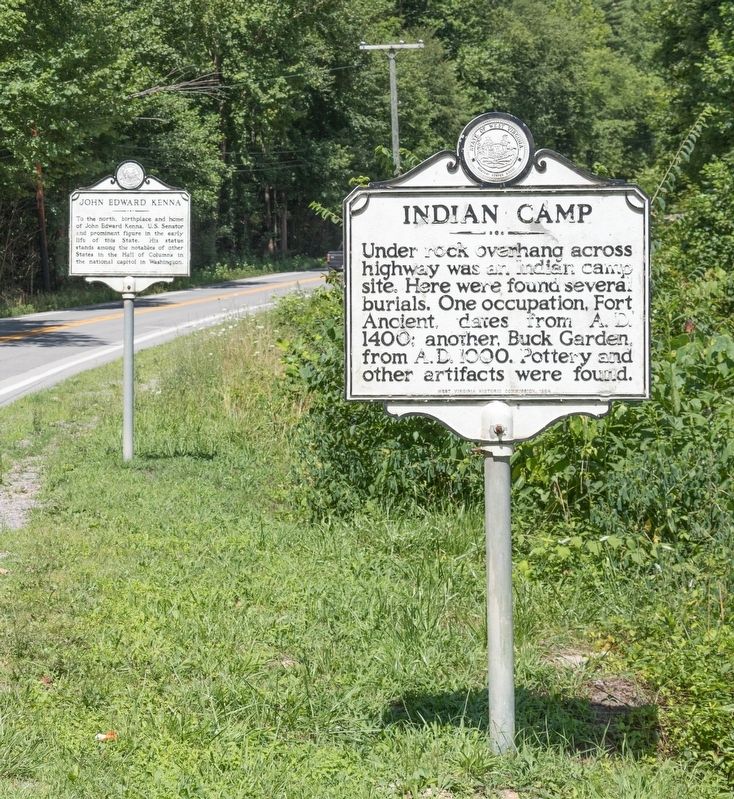
Indian Camp
Erected 1964 by West Virginia Historic Commission.
Topics and series. This historical marker is listed in this topic list: Native Americans. In addition, it is included in the West Virginia Archives and History series list. A significant historical year for this entry is 1000 CE.
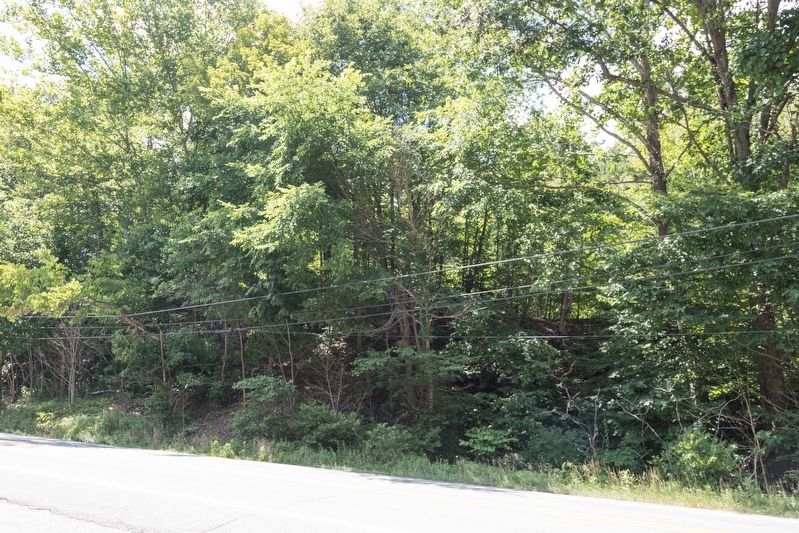
Location. 38° 8.068′ N, 81° 41.245′ W. Marker is near Peytona, West Virginia, in Boone County. Marker is on Daniel Boone Parkway (West Virginia Route 3) half a mile west of the Peytona Post Office on Roundbottom Road (Local Route 119/21), on the left when traveling west. It is at the Drawdy Falls roadside park. Touch for map. Marker is in this post office area: Peytona WV 25154, United States of America. Touch for directions.
Other nearby markers. At least 8 other markers are within 9 miles of this marker, measured as the crow flies. John Edward Kenna (a few steps from this marker); Coal Discovered (approx. 0.4 miles away); Peytona (approx. half a mile away); Nellis No. 3 Mine Explosion (approx. 3.3 miles away); Nellis / ARMCO Coal (approx. 3.3 miles away); Robert Hager (approx. 8˝ miles away); Boon County World War Memorial (approx. 8.6 miles away); Madison (approx. 8.6 miles away). Touch for a list and map of all markers in Peytona.
Credits. This page was last revised on August 4, 2019. It was originally submitted on August 3, 2019, by J. J. Prats of Powell, Ohio. This page has been viewed 827 times since then and 94 times this year. Photos: 1, 2, 3. submitted on August 3, 2019, by J. J. Prats of Powell, Ohio.


