Peytona in Boone County, West Virginia — The American South (Appalachia)
Peytona
Photographed by J. J. Prats, July 13, 2019
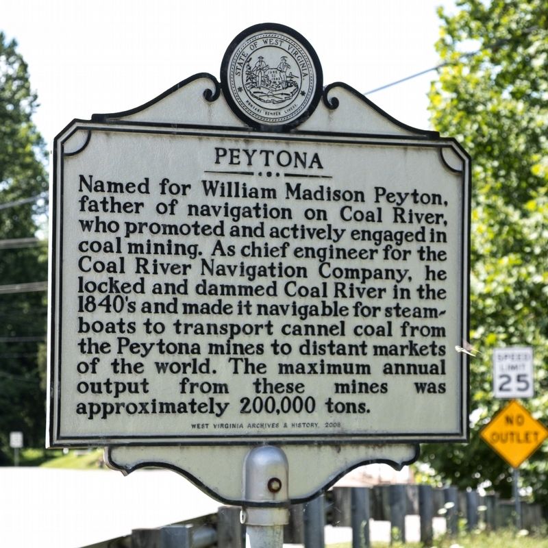
1. Peytona Marker
Erected 2008 by West Virginia Archives and History.
Topics and series. This historical marker is listed in these topic lists: Industry & Commerce • Settlements & Settlers • Waterways & Vessels. In addition, it is included in the West Virginia Archives and History series list.
Location. 38° 8.199′ N, 81° 40.692′ W. Marker is in Peytona, West Virginia, in Boone County. It is at the intersection of Daniel Boone Parkway (West Virginia Route 3) and Roundbottom Road (Local Route 119/21) when traveling west on Daniel Boone Parkway. It is a few yards from the Paytona Post Office. Touch for map. Marker is in this post office area: Peytona WV 25154,
this page online

Regionally, this marker is in the Southern Coalfields. It is also in the American South, specifically in the Upper South, in Appalachia, and specifically in Southern Appalachia. Globally, it is in North America, the Western Hemisphere, the Western World, and the Anglosphere. Historically, it finds itself in what was once the territory of the Mississippian Culture.
Other nearby markers. At least 8 other markers are within 9 miles of this marker, measured as the crow flies: Coal Discovered (about 500 feet away, measured in a direct line); John Edward Kenna (approx. half a mile away); Nellis No. 3 Mine Explosion (approx. 3.7 miles away); Nellis / ARMCO Coal (approx. 3.7 miles away); Little Coal River (approx. 8.9 miles away); Robert Hager (approx. 9 miles away); Boone County World War Memorial (approx. 9.1 miles away); Madison (approx. 9.1 miles away). Touch for a list and map of all markers in Peytona.
Another marker is no longer nearby. Indian Camp (was approx. half a mile away but has been confirmed missing).
Also see . . .
1. Wikipedia entry for Coal River.
Photographed by J. J. Prats, July 13, 2019
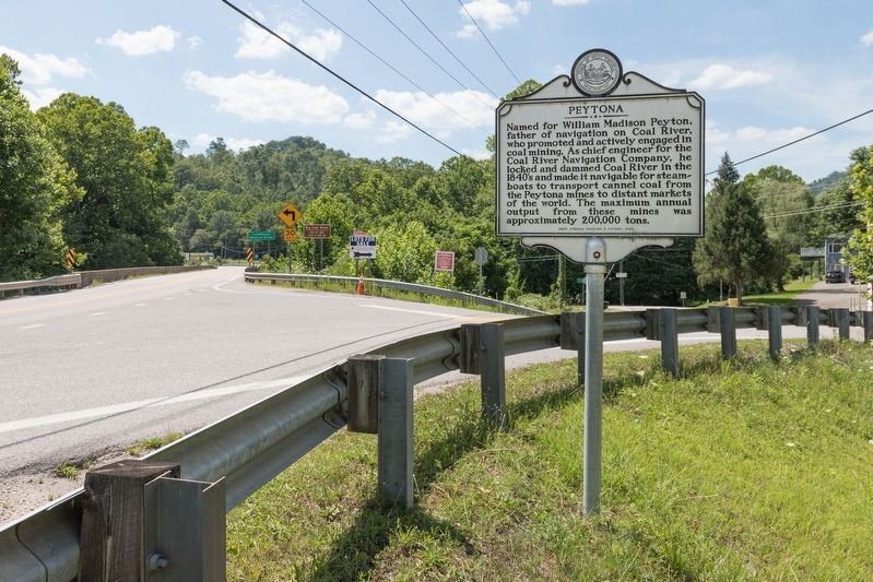
2. Peytona Marker
Route 3 heads west on the left. Roundbottom Road follows the Big Coal River on the right. The Peytona post office is just out of frame on the right.
The availability of large seams of Cannel Coal, which could be used to produce a very desirable coal oil, brought investors to the region in the mid-19th century. The coal could be utilized to produce a coal oil which was in high demand in the urban areas of the US. The oil was used to replace whale oil for lighting. Cannel Coal oil burned bright and produced very little smoke. The utilization of the rivers for navigation was enhanced in the mid 1851 by the construction of a 34-mile lock and dam system designed by William Rosecrans. The Coal River Navigation Company was formed and invested approximately $208,000 to complete the system.(Submitted on August 4, 2019.)
The lock and dam system was repeatedly washed out by floods but continued to be rebuilt by investors. The system operated successfully from 1855 through 1861. In 1860 over 850,000 bushels of coal were shipped. The outbreak of the Civil War stopped operations of the system but in 1867 a new company was formed and the lock and dams returned to service until 1881. Altogether the lock and dams operated for 16 years.
...
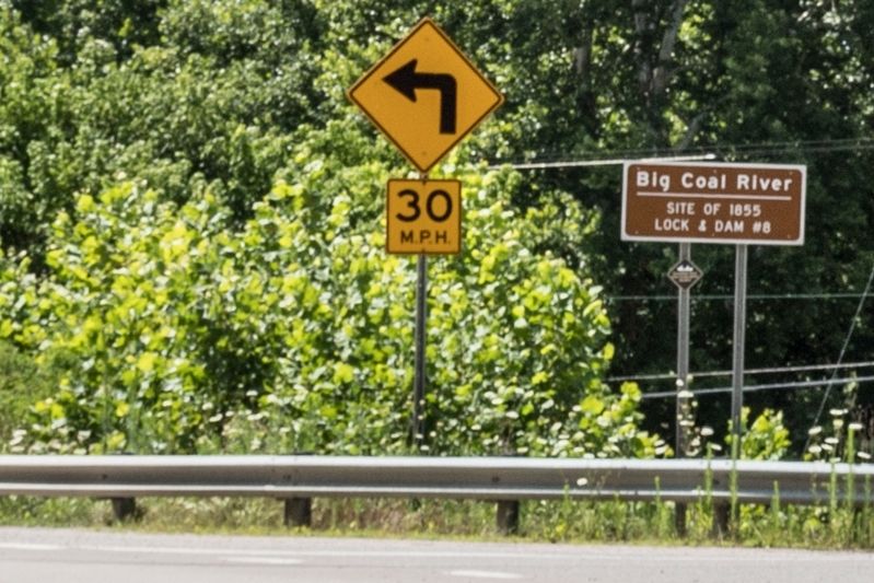
After failed attempts by others, the Coal River and Western Railway Companyestablished scheduled rail service along the river at the dawn of the 20th century. This finally provided a reliable source of transportation for the coal and timber industries, sparking an economic boom in the region.Photographed by J. J. Prats, July 13, 20193. Big Coal River — Site of 1855 Lock & Dam #8In view of the marker is the brown sign that marks the location of Lock and Dam #8.
2. e-WV entry for Coal River Navigation Company. 2015 article by Gerard W. Sutphin. Excerpt: “Construction of the stone-filled timber-crib dams and 125-by-24-foot timber-crib locks was completed by 1859. During the first year of operation, 400,000 bushels of cannel coal was barged out of the river.” (Submitted on August 4, 2019.)
Credits. This page was last revised on January 9, 2020. It was originally submitted on August 4, 2019, by J. J. Prats of Powell, Ohio. This page has been viewed 1,212 times since then and 103 times this year. Photos: 1, 2, 3. submitted on August 4, 2019, by J. J. Prats of Powell, Ohio.
