Taylorsville in Salt Lake County, Utah — The American Mountains (Southwest)
English Fort
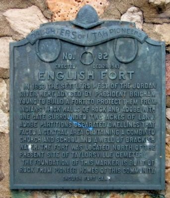
Photographed by Jack Duffy, December 4, 2010
1. English Fort Marker
Erected 1941 by Daughters of Utah Pioneers. (Marker Number 82.)
Topics and series. This historical marker is listed in these topic lists: Forts and Castles • Religion & Religious Structures. In addition, it is included in the Daughters of Utah Pioneers series list. A significant historical year for this entry is 1853.
Location. 40° 40.233′ N, 111° 56.317′ W. Marker is in Taylorsville, Utah, in Salt Lake County. It is on South Redwood Road (Utah Route 68) 0.1 miles north of Conifer Way, on the right when traveling north. On the grounds of Taylorsville Cemetery near Independent
this page online

Regionally, this marker is in the Wasatch Front and in Greater Salt Lake. It is also in the American Mountain West and on the Colorado Plateau. Globally, it is in North America, the Rocky Mountains, the Western Hemisphere, the Western World, and the Anglosphere. Historically, it finds itself in what was once New Spain and also Mexico’s Alta California.
Other nearby markers. At least 8 other markers are within walking distance of this marker: Taylorsville Park (approx. ¼ mile away); Cultivator (approx. half a mile away); Hay Rake (approx. half a mile away); Manure Spreader (approx. half a mile away); Potato Machinery (approx. half a mile away); Hay Loaders (approx. half a mile away); Sulky Plow (approx. half a mile away); Mowers (approx. half a mile away). Touch for a list and map of all markers in Taylorsville.
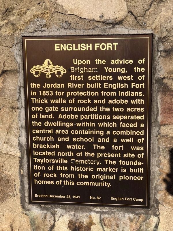
Photographed by Andrew Johnson, August 1, 2019
2. English Fort Marker
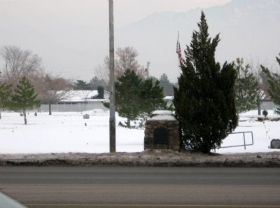
Photographed by Jack Duffy, December 4, 2010
3. English Fort Marker
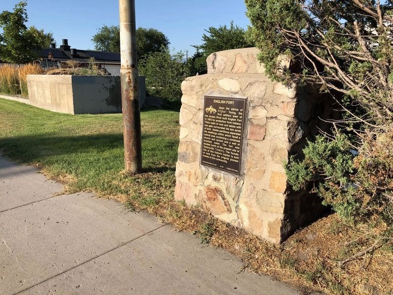
Photographed by Andrew Johnson, August 1, 2019
4. English Fort Marker
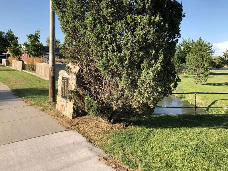
Photographed by Andrew Johnson, August 1, 2019
5. English Fort Marker
Credits. This page was last revised on August 19, 2019. It was originally submitted on February 12, 2011, by Jack Duffy of West Jordan, Utah. This page has been viewed 1,414 times since then and 60 times this year. Last updated on August 4, 2019, by Andrew Johnson of Salt Lake City, Utah. Photos: 1. submitted on February 12, 2011, by Jack Duffy of West Jordan, Utah. 2. submitted on August 4, 2019, by Andrew Johnson of Salt Lake City, Utah. 3. submitted on February 12, 2011, by Jack Duffy of West Jordan, Utah. 4, 5. submitted on August 4, 2019, by Andrew Johnson of Salt Lake City, Utah. • Bill Pfingsten was the editor who published this page.
