Monroe in Amherst County, Virginia — The American South (Mid-Atlantic)
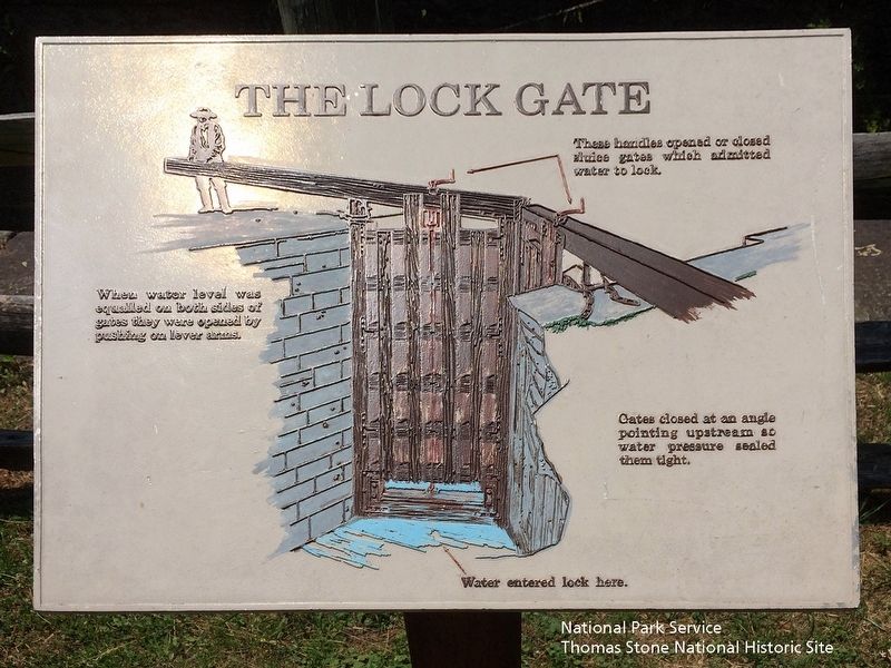
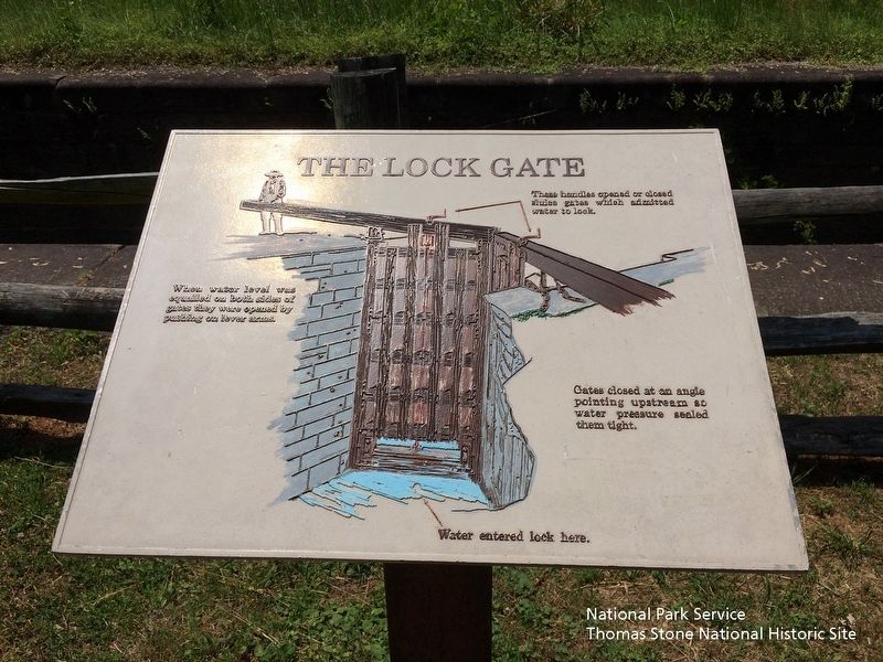
The Lock Gate
When water level was equalled on both sides of gates they were opened by pushing on lever arms.
Gates closed at an angle pointing upstream so water pressure sealed them tight.
Water entered lock here.
Erected by National Park Service, Blue Ridge Parkway.
Topics. This historical marker is listed in this topic list: Waterways & Vessels.
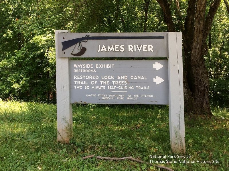
Location. 37° 33.249′ N, 79° 21.979′ W. Marker is in Monroe, Virginia, in Amherst County. Marker can be reached from Blue Ridge Parkway (at milepost 63.6) near Lee Jackson Highway (U.S. 501), on the left when traveling south. 10 minute walk from the James River Visitor Center. Touch for map. Marker is in this post office area: Monroe VA 24574, United States of America. Touch for directions.
Other nearby markers. At least 8 other markers are within 5 miles of this marker, measured as the crow flies. A Lock Canal / A Lift Lock (a few steps from this marker); Battery Creek Lock (within shouting distance of this marker); a different marker also named Battery Creek Lock (about 300 feet away, measured in a direct line); James River (about 400 feet away); Harry F. Byrd Memorial Bridge (about 500 feet away); A Transportation Corridor (about 500 feet away); Water Gap (about 600 feet away); The Courage Of Frank Padget (approx. 5.1 miles away). Touch for a list and map of all markers in Monroe.
Also see . . . Blue Ridge Parkway | James River Canal Trail (MP 63.6). (Submitted on August 5, 2019.)
Credits. This page was last revised on August 6, 2019. It was originally submitted on August 5, 2019. This page has been viewed 208 times since then and 17 times this year. Photos: 1, 2, 3, 4, 5. submitted on August 5, 2019. • Bernard Fisher was the editor who published this page.
