Near Brewster in Putnam County, New York — The American Northeast (Mid-Atlantic)
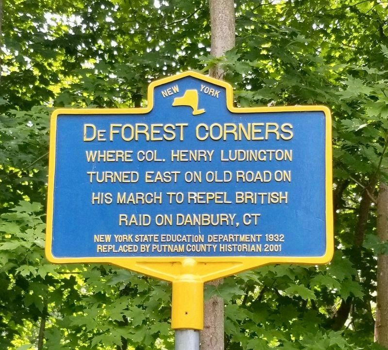
DeForest Corners
Erected 2001 by New York State Education Department 1932, Replaced by Putnam County Historian 2001.
Topics. This historical marker is listed in these topic lists: Roads & Vehicles • War, US Revolutionary.
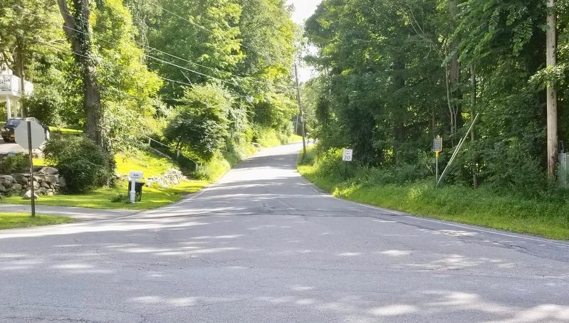
Location. 41° 26.717′ N, 73° 33.015′ W. Marker is near Brewster, New York, in Putnam County. Marker is at the intersection of Gage Road and Sherwood Hill Road, on the right when traveling south on Gage Road. Touch for map. Marker is at or near this postal address: 522 Gage Road, Brewster NY 10509, United States of America. Touch for directions.
Other nearby markers. At least 8 other markers are within 4 miles of this marker, measured as the crow flies. Col. H. Ludington (approx. 0.8 miles away); Chancellor Kent (approx. 1.6 miles away); Old Southeast Cemetery (approx. 1.9 miles away); Dag Hammarskjold House (approx. 2 miles away); New Fairfield Fire Department Memorial (approx. 3.2 miles away in Connecticut); Birthplace of Darius M. Couch (approx. 3˝ miles away); New Fairfield Veterans Memorial (approx. 3.6 miles away in Connecticut); New Fairfield (approx. 3.6 miles away in Connecticut). Touch for a list and map of all markers in Brewster.
More about this marker. Marker originally erected in 1932.
Credits. This page was last revised on August 5, 2019. It was originally submitted on August 5, 2019, by Mark Hilton of Montgomery, Alabama. This page has been viewed 392 times since then and 31 times this year. Photos: 1, 2, 3. submitted on August 5, 2019, by Mark Hilton of Montgomery, Alabama.


