Palatine Bridge in Montgomery County, New York — The American Northeast (Mid-Atlantic)
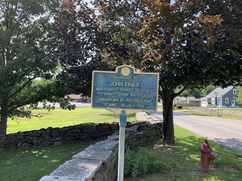
John Frey
Topics. This historical marker is listed in this topic list: Government & Politics. A significant historical year for this entry is 1788.
Location. 42° 54.795′ N, 74° 34.941′ W. Marker is in Palatine Bridge, New York, in Montgomery County. Marker is on West Grand Street (New York State Route 5), on the left when traveling west. Touch for map. Marker is in this post office area: Palatine Bridge NY 13428, United States of America. Touch for directions.
Other nearby markers. At least 8 other markers are within walking distance of this marker. Fort Frey (within shouting distance of this marker); The Canalway Trail: Canajoharie/ To Market, to Market (approx. 0.6 miles away); Chester B. Hoke (approx. 0.6 miles away); Routes of the Armies (approx. 0.6 miles away); Shaper Quarry (approx. 0.7 miles away); Wagner Home (approx. 0.7 miles away); Canajoharie Academy (approx. ¾ mile away); Northeastern Terminal (approx. ¾ mile away). Touch for a list and map of all markers in Palatine Bridge.
Also see . . . Frey House - National Archives. National Register of Historic Places documentation (Submitted on March 24, 2024, by Anton Schwarzmueller of Wilson, New York.)
Credits. This page was last revised on March 24, 2024. It was originally submitted on August 6, 2019, by Steve Stoessel of Niskayuna, New York. This page has been viewed 305 times since then and 29 times this year. Photos: 1, 2, 3. submitted on August 6, 2019, by Steve Stoessel of Niskayuna, New York. • Bill Pfingsten was the editor who published this page.


