Near Forsan in Glasscock County, Texas — The American South (West South Central)
First Commercial Oil Well in Howard County
Photographed by Larry D. Moore, August 3, 2019
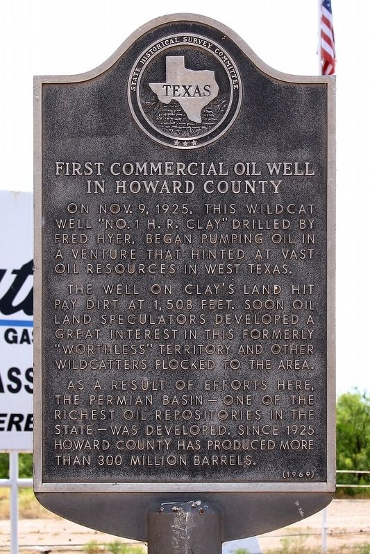
1. First Commercial Oil Well in Howard County Marker
On Nov. 9, 1925, this wildcat well "No. 1 H.R. Clay" drilled by Fred Hyer, began pumping oil in a venture that hinted at vast oil resources in West Texas.
The well on Clay's land hit pay dirt at 1,508 feet. Soon oil land speculators developed a great interest in this formerly "worthless" territory and other wildcatters flocked to the area.
As a result of efforts here, the Permian Basin—one of the richest oil repositories in the state—was developed. Since 1925 Howard County has produced more than 300 million barrels.
Erected 1969 by State Historical Survey Committee. (Marker Number 12671.)
Topics. This historical marker is listed in this topic list: Industry & Commerce. A significant historical date for this entry is November 9, 1925.
Location. 32° 5.152′ N, 101° 23.511′ W. Marker is near Forsan, Texas, in Glasscock County. It is at the intersection of U.S. 87 and Farm to Market Road 821, on the right when traveling south on U.S. 87. Touch for map. Marker is in this post office area: Big Spring TX 79720, United States of America. Touch for directions.

Regionally, this marker is in West Texas. Globally, it is in North America, a Gulf of Mexico state, the Western Hemisphere, the Western World, and the Anglosphere. Historically, it finds itself in what was once New Spain, the Comanchería, the Republic of Texas, and one of the Confederate States of America.
Other nearby markers. At least 8 other markers are within 13 miles of this marker, measured as the crow flies: Route of Marcy’s Trail (approx. 10½ miles away); W.T. ("Uncle Bud") Roberts (approx. 10.8 miles away); Big Spring State Park on Route of Old Comanche War Trail (approx. 11.2 miles away); Big Spring School District (approx. 11.9 miles away); First Christian Church (approx. 12.1 miles away); First National Bank in Big Spring (approx. 12½
this page online
Photographed by Larry D. Moore, August 3, 2019
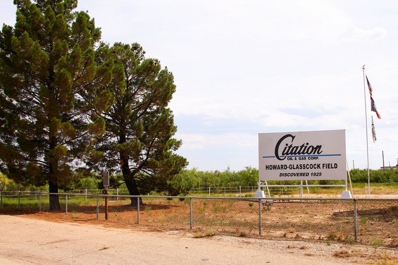
2. First Commercial Oil Well in Howard County Marker Area
Credits. This page was last revised on November 30, 2024. It was originally submitted on August 6, 2019, by Larry D. Moore of Del Valle, Texas. This page has been viewed 1,561 times since then and 129 times this year. Photos: 1, 2. submitted on August 6, 2019, by Larry D. Moore of Del Valle, Texas. • Bernard Fisher was the editor who published this page.
