Whitesville in Boone County, West Virginia — The American South (Appalachia)
The Whitesville School
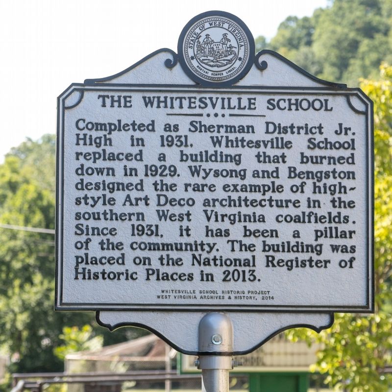
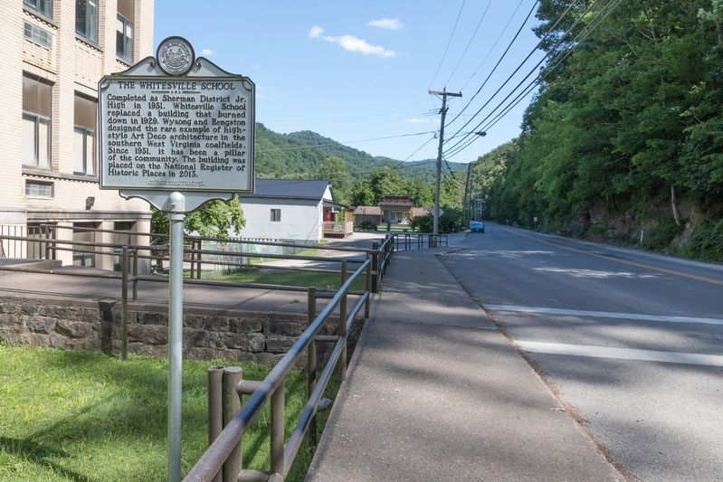
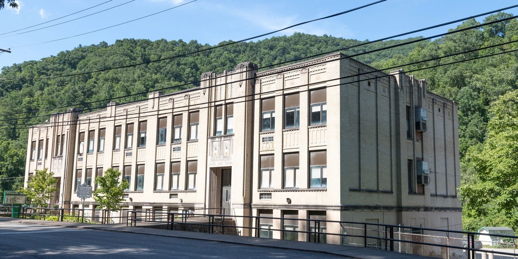
Completed as Sherman District Jr. High in 1931. Whitesville School replaced a building that burned down in 1929. Wysong and Bengston designed the rare example of high-style Art Deco architecture in the southern West Virginia coalfields. Since 1931, it has been a pillar of the community. The building was placed on the National Register of Historic Places in 2013.
Erected 2014 by the Whitesville School District Historic Project and West Virginia Archives and History.
Topics and series. This historical marker is listed in these topic lists: Architecture • Education. In addition, it is included in the Art Deco, and the West Virginia Archives and History series lists. A significant historical year for this entry is 1931.
Location. 37° 58.916′ N, 81° 32.151′ W. Marker is in Whitesville, West Virginia, in Boone County. Marker is on Coal River Road (West Virginia Route 3), on the right when traveling west. It is in front of the school. Touch for map. Marker is at or near this postal address: 37949 Coal River Rd, Whitesville WV 25209, United States of America. Touch for directions.
Other nearby markers. At least 8 other markers are within 13 miles of this marker, measured as the crow flies. Battle of Coal River (within shouting distance of this marker); Upper Big Branch Miners Memorial (approx. 0.2 miles away); Upper Big Branch Mine Explosion (approx. 0.2 miles away); a different marker also named Upper Big Branch Mine Explosion (approx. 0.2 miles away); West Virginia Coal Mine Disasters (approx. 0.2 miles away); Big Coal River (approx. 0.2 miles away); William S. Dunbar (approx. 11.6 miles away); Mary Ingles (approx. 13 miles away). Touch for a list and map of all markers in Whitesville.
Also see . . . National Register of Historic Places Nomination Form (PDF). West Virginia Department of Arts, Culture and History website entry:
Form prepared in 2013 by Cheryl Nichols, Bethany Castle and Erin Riebe. This document has photographs of the interior. Excerpt:
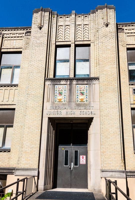
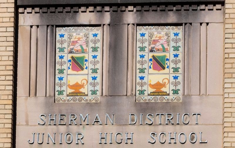
The main elevation of the school is symmetrical and emphasizes vertical parallel lines. It features two entrance areas that extend from the main elevation and upward through the roofline – a small-scale version of the massive, boxy towers popular on the large Art Deco-style buildings. At the corner of each “tower” is a large stepped pilaster, each topped with low-relief, deco-style brickwork. The entrances are located between the basement and first-story levels between the two pilasters. Each entryway is recessed and has modern double doors and a transom window and is flanked by smooth, fluted limestone. The smooth limestone is carried upward to the stone sill and dentils of the two second-story windows. Two sets of colorful tiles are situated in this area and are flanked by limestone reeding. The tiles feature academic symbols of Greek icons including the academic lamp of knowledge, pen and quill, an open book, and a shield. The uppermost mosaic includes a banner that reads “1931,” indicating the construction year of the school (see photo 3). The original name of the school, “Sherman District Junior High School,” is displayed in metal lettering between the recessed entrance and the tiles. The area above the two windows, between the pilasters, displays chevron-style brickwork.(Submitted on August 11, 2019.)
The remainder of the main elevation includes five separate sections; three centrally located between the towers and one section to the outside of each entrance tower. Each section includes a set of three windows, symmetrically arranged, on each the basement, first and second stories. The windows on the first and second stories are separated by a low-relief, brick pilaster each topped with a decorative stone keystone displaying a shield and scrolls. Stone window sills under the first and second story windows on the main elevation are accented with dentils while lintels are formed by a row of soldier bricks (a row of bricks laid vertically with the long, narrow side exposed). The area between the first and second story windows, between the pilasters, is accented with parallel lines formed by stack bonding with projecting rows of headers, while the cornice area is accented with deco-style square tiles and brickwork. The three central sections are separated by two larger pilasters that extend through the roofline, similar to those on the towers.
Photographed By J. J. Prats, July 13, 2019
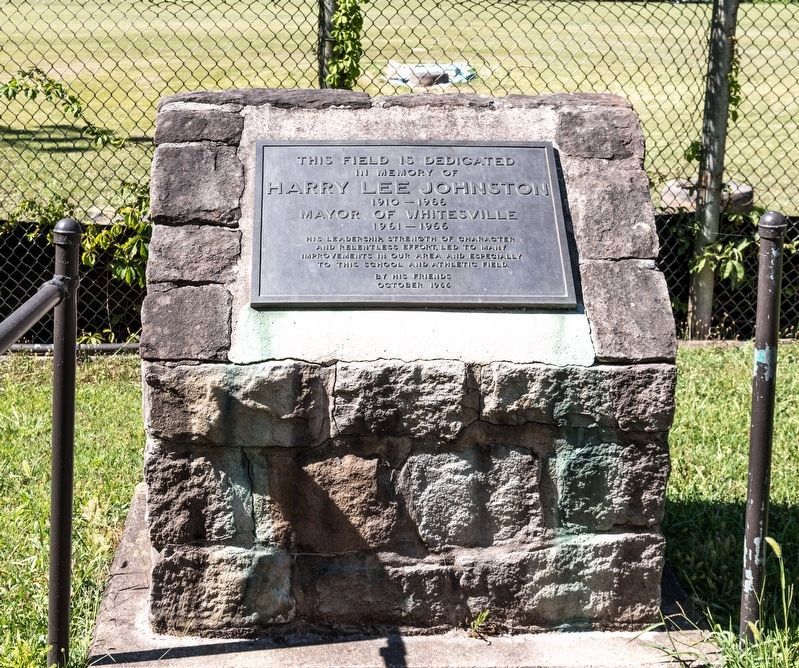
7. In Memory of Harry Lee Johnson (1910–1966)
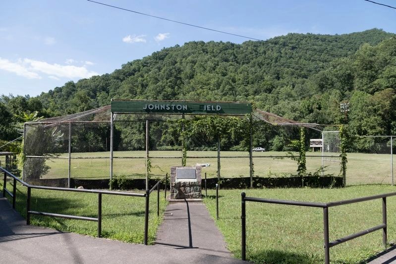
“This field in dedicated to the memory of Harry Lee Johnson, 1910–1966; Mayor of Whitesville, 1961–1966. His leadership, strength of character, and his relentless effort, led to many improvements in our area and especially to this school and athletic field. —By his friends, October, 1966.”
Photographed By J. J. Prats, July 13, 2019
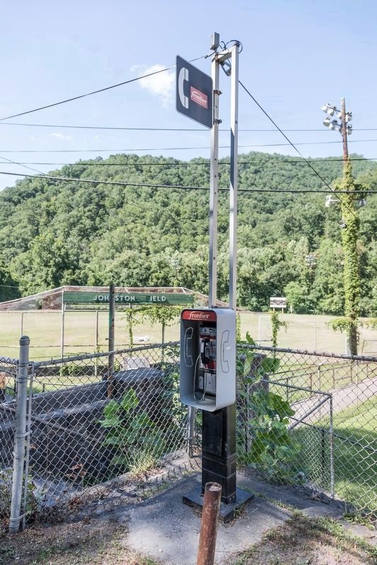
8. Pay Telephone at Johnston Field
“Mom, come pick me up!” There is still a need for land-line telephones in the mountains where cellphone service can be spotty. Local coin calls: 50˘. Phone accepts quarters, dimes and nickels. Collect calls (called party pays) can be placed from this phone.
Credits. This page was last revised on January 21, 2022. It was originally submitted on August 11, 2019, by J. J. Prats of Powell, Ohio. This page has been viewed 298 times since then and 35 times this year. Photos: 1, 2, 3, 4, 5, 6, 7, 8. submitted on August 11, 2019, by J. J. Prats of Powell, Ohio.
