Stevensville in Queen Anne's County, Maryland — The American Northeast (Mid-Atlantic)
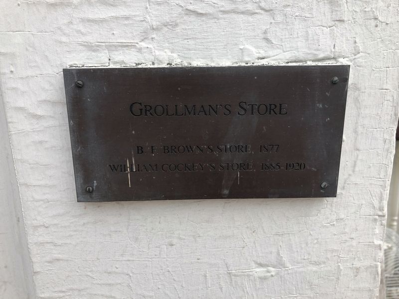
Grollman's Store
William Cockey's Store, 1885-1920
Topics. This historical marker is listed in this topic list: Industry & Commerce. A significant historical year for this entry is 1877.
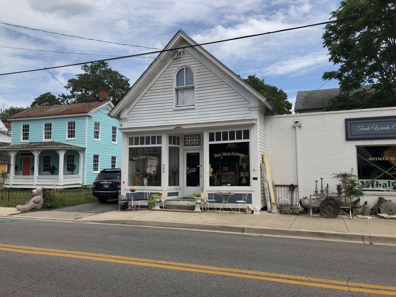
Location. 38° 58.86′ N, 76° 18.89′ W. Marker is in Stevensville, Maryland, in Queen Anne's County. Marker is at the intersection of Love Point Road and Cockey Lane, on the right when traveling east on Love Point Road. Touch for map. Marker is at or near this postal address: 400 Love Point Road, Stevensville MD 21666, United States of America. Touch for directions.
Other nearby markers. At least 8 other markers are within walking distance of this marker. Old Stevensville Post Office (within shouting distance of this marker); Country Store (within shouting distance of this marker); Stevensville Bank (within shouting distance of this marker); Cray House (within shouting distance of this marker); Stevensville Train Depot (within shouting distance of this marker); Christ Church (about 400 feet away, measured in a direct line); Kent Island (approx. 0.6 miles away); a different marker also named Kent Island (approx. 0.7 miles away). Touch for a list and map of all markers in Stevensville.
Credits. This page was last revised on August 11, 2019. It was originally submitted on August 11, 2019, by Devry Becker Jones of Washington, District of Columbia. This page has been viewed 288 times since then and 22 times this year. Photos: 1, 2. submitted on August 11, 2019, by Devry Becker Jones of Washington, District of Columbia.

