Azusa in Los Angeles County, California — The American West (Pacific Coastal)
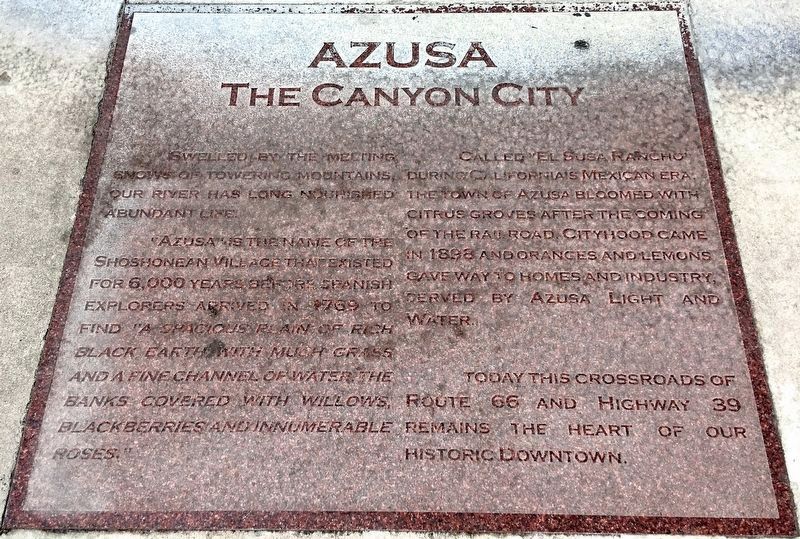
Azusa, the Canyon City
Swelled by the melting snows of towering mountains, our river has long nourished abundant life.
“Azusa” is the name of the Shoshonean village that existed for 6,000 years before Spanish explorers arrived in 1769 to find “a spacious plain of rich black earth with much grass and a fine channel of water, the banks covered with willows, blackberries, and innumerable roses”.
Called “El Susa Rancho” during California’s Mexican era, the town of Azusa bloomed with citrus groves after the coming of the railroad. Cityhood came in 1898 and oranges and lemons gave way to homes and industry, served by Azusa Light and Water.
Today this crossroads of Route 66 and Highway 39 remains the heart of our historic downtown.
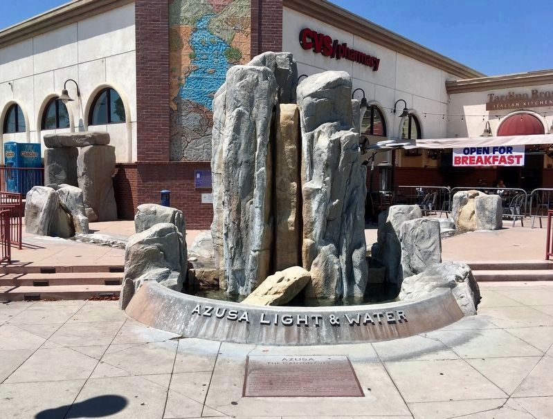
Erected 2001 by Azusa Light and Water.
Topics. This historical marker is listed in these topic lists: Industry & Commerce • Native Americans • Settlements & Settlers. A significant historical year for this entry is 1769.
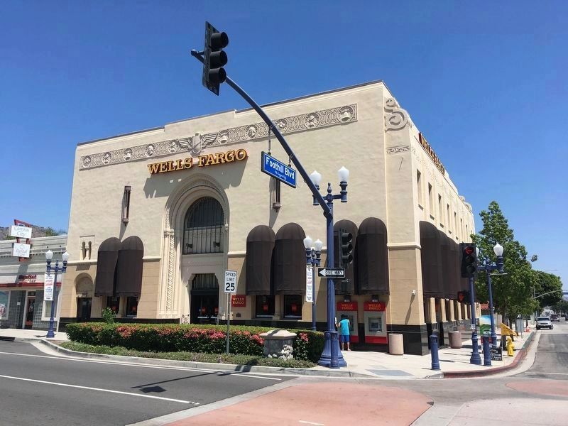
Location. 34° 8.021′ N, 117° 54.458′ W. Marker is in Azusa, California, in Los Angeles County. Marker is at the intersection of West Foothill Boulevard (U.S. 66) and North Azusa Avenue (California Route 39), on the right when traveling west on West Foothill Boulevard . Touch for map. Marker is at or near this postal address: 101 W Foothill Boulevard, Azusa CA 91702, United States of America. Touch for directions.
Other nearby markers. At least 8 other markers are within 3 miles of this marker, measured as the crow flies. Site of Azusa’s First Volunteer Fire Station (about 500 feet away, measured in a direct line); Fairmount Pioneer Cemetery (approx. 1.2 miles away); Glenn Miller (approx. 2.2 miles away); Big Tree (approx. 2.4 miles away); Pacific Electric Station (approx. 2.4 miles away); Mission Theater Building (approx. 2.4 miles away); Glendora City Hall (approx. 2.4 miles away); The Trails Restaurant (approx. 2½ miles away).
Credits. This page was last revised on January 30, 2023. It was originally submitted on August 12, 2019, by Craig Baker of Sylmar, California. This page has been viewed 782 times since then and 129 times this year. Photos: 1, 2, 3, 4. submitted on August 12, 2019, by Craig Baker of Sylmar, California. • Andrew Ruppenstein was the editor who published this page.


