Clintonville in Clinton County, New York — The American Northeast (Mid-Atlantic)
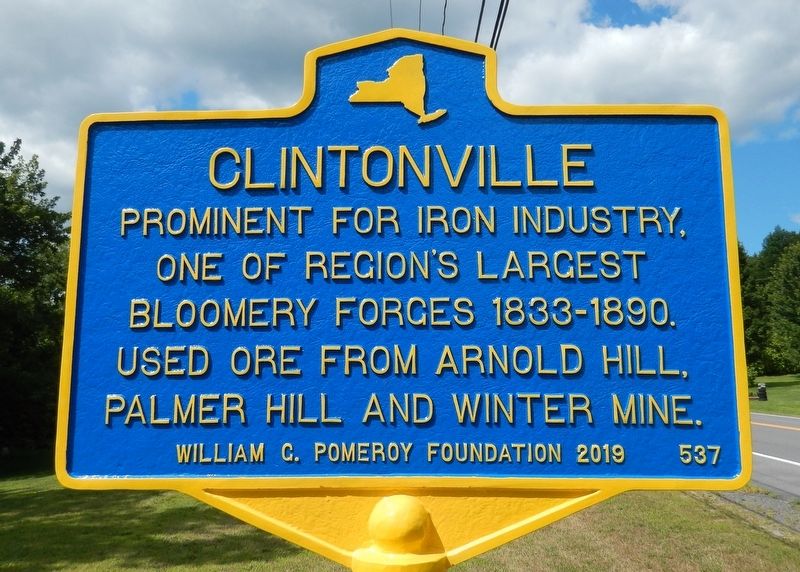
Clintonville
Photographed by Cosmos Mariner, August 12, 2019
1. Clintonville Marker
one of region’s largest
bloomery forges 1833-1890.
Used ore from Arnold Hill,
Palmer Hill and Winter Mine.
William G. Pomeroy Foundation 2019 • 537
Erected 2019 by Willilam G. Pomeroy Foundation. (Marker Number 537.)
Topics and series. This historical marker is listed in this topic list: Industry & Commerce. In addition, it is included in the William G. Pomeroy Foundation series list. A significant historical year for this entry is 1833.
Location. 44° 27.988′ N, 73° 34.61′ W. Marker is in Clintonville, New York, in Clinton County. It is on New York State Route 9N 0.2 miles east of Smith Street, on the right when traveling east. Touch for map. Marker is in this post office area: Keeseville NY 12924, United States of America. Touch for directions.

Regionally, this marker is in Upstate New York, in the Adirondacks & North Country, and in the Champlain Valley. It is also in the American Northeast and in the Mid-Atlantic. Globally, it is in North America, the Great North Woods, the Western Hemisphere, the Western World, and the Anglosphere. Historically, it finds itself in what was
this page online
Other nearby markers. At least 8 other markers are within 6 miles of this marker, measured as the crow flies: Harkness Church (approx. 4 miles away); Evergreen Cemetery (approx. 5.3 miles away); Thomas F. Conway (approx. 5.3 miles away); Underground Railroad (approx. 5.4 miles away); Keeseville, New York War Memorial (approx. 5½ miles away); Mineral Spring (approx. 5½ miles away); Keese Homestead (approx. 5.6 miles away); Train Depot (approx. 5.7 miles away).
Also see . . . Clintonville. The hamlet of Clintonville is located on the Ausable River, a short distance from Lake Champlain. A once-bustling industrial community, from 1833 to 1890 it was home to the Peru Steel & Iron Company. At its height the company possessed one of the region’s largest bloomery forges until the 1890s, when it ceased operation. Little evidence exists today of Clintonville’s former industry. (Submitted on August 13, 2019, by Cosmos Mariner of Cape Canaveral, Florida.)
Photographed by Cosmos Mariner, August 12, 2019
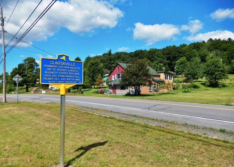
2. Clintonville Marker • wide view
(looking west along New York Route 9N)
(looking west along New York Route 9N)
Credits. This page was last revised on August 13, 2019. It was originally submitted on August 13, 2019, by Cosmos Mariner of Cape Canaveral, Florida. This page has been viewed 651 times since then and 28 times this year. Photos: 1, 2. submitted on August 13, 2019, by Cosmos Mariner of Cape Canaveral, Florida.
