East Bank in Kanawha County, West Virginia — The American South (Appalachia)
East Bank High School
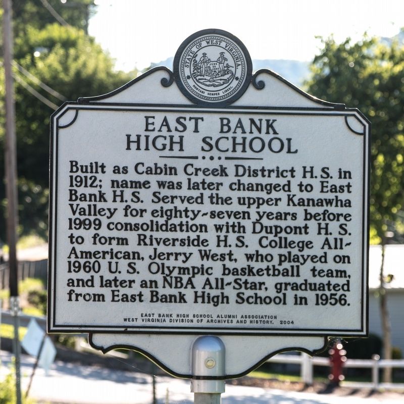
Photographed by J. J. Prats, July 13, 2019
1. East Bank High School Marker
Erected 2004 by East Bank High School Alumni Association and West Virginia Division of Archives and History.
Topics and series. This historical marker is listed in this topic list: Education. In addition, it is included in the West Virginia Archives and History series list. A significant historical year for this entry is 1912.
Location. 38° 12.976′ N, 81° 26.519′ W. Marker is in East Bank, West Virginia, in Kanawha County. It is at the intersection of Third Avenue (Route 61) and Walnut Street, on the right when traveling west on Third Avenue. Touch for map. Marker is in this post office area: East Bank WV 25067, United States of America. Touch for directions.

Regionally, this marker is in Greater Charleston Area. It is also in the American South,
this page online
Other nearby markers. At least 8 other markers are within walking distance of this marker: East Bank World War II Veterans (about 300 feet away, measured in a direct line); Andrew & Charles Lewis March (approx. 0.9 miles away); First Settlers (approx. 0.9 miles away); Virginia's Chapel (approx. 0.9 miles away); Good Shepherd Chapel Catholic Church (approx. 0.9 miles away); Major William Morris Jr. (approx. 0.9 miles away); Historic Church (approx. 0.9 miles away); The Shamrock Sod (approx. 0.9 miles away). Touch for a list and map of all markers in East Bank.
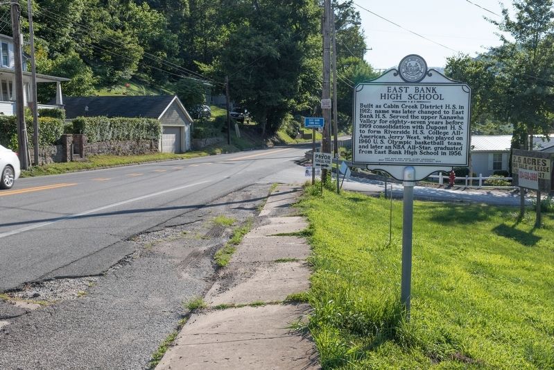
Photographed by J. J. Prats, July 13, 2019
2. East Bank High School Marker
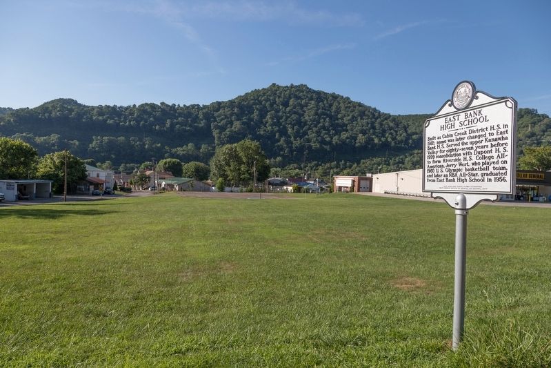
Photographed by J. J. Prats, July 13, 2019
3. Site of East Bank High School

Photographed by Mark Parker, December 9, 2024
4. The preserved entryway of Cabin Creek District High School from 1912, which became East Bank High
The entryway is at the site of East Bank Town Hall
Credits. This page was last revised on March 1, 2025. It was originally submitted on August 13, 2019, by J. J. Prats of Powell, Ohio. This page has been viewed 2,172 times since then and 255 times this year. Photos: 1, 2, 3. submitted on August 13, 2019, by J. J. Prats of Powell, Ohio. 4. submitted on February 27, 2025, by Mark Parker of Hickory, North Carolina.
