East Beekmantown in Clinton County, New York — The American Northeast (Mid-Atlantic)
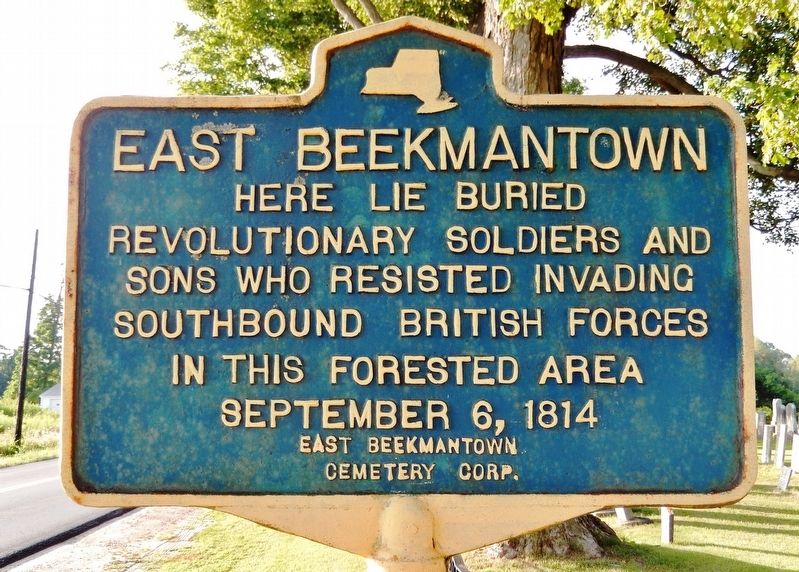
East Beekmantown
Erected by East Beekmantown Cemetery Corporation.
Topics. This memorial is listed in these topic lists: Cemeteries & Burial Sites • Patriots & Patriotism • War of 1812. A significant historical date for this entry is September 6, 1814.
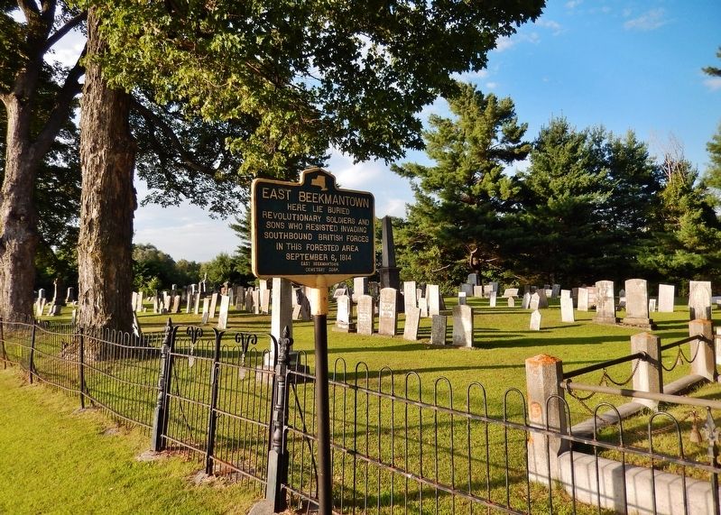
Location. 44° 45.52′ N, 73° 28.357′ W. Marker is in East Beekmantown, New York, in Clinton County. Memorial is on Ashley Road north of New York State Route 22, on the right when traveling north. Marker is located near the East Beekmantown Cemetery entrance on Ashley Road. Touch for map. Marker is in this post office area: Plattsburgh NY 12901, United States of America. Touch for directions.
Other nearby markers. At least 8 other markers are within 4 miles of this marker, measured as the crow flies. Culver Hill Memorial (approx. 0.8 miles away); The War of 1812 (approx. 0.8 miles away); Sheldon-Hagar Homestead (approx. 2.8 miles away); Philip Farnsworth's Tavern (approx. 2.8 miles away); Isaac Platt Home (approx. 3 miles away); a different marker also named The War of 1812 (approx. 3˝ miles away); Col. Thomas Miller's Home (approx. 3.6 miles away); Heritage Trail (approx. 4.1 miles away).
Also see . . . Battle of Plattsburgh . On September 6, 1814, British and American forces finally collided with deadly effect just north of Plattsburgh, New York. The first contact between a party of New York State Militia and the advance of the British right wing took place in Beekmantown with the Militia withdrawing in great disarray towards Culver Hill. (Submitted on August 16, 2019, by Cosmos Mariner of Cape Canaveral, Florida.)
Credits. This page was last revised on January 16, 2024. It was originally submitted on August 16, 2019, by Cosmos Mariner of Cape Canaveral, Florida. This page has been viewed 289 times since then and 19 times this year. Photos: 1, 2, 3. submitted on August 16, 2019, by Cosmos Mariner of Cape Canaveral, Florida.


