Carpinteria in Santa Barbara County, California — The American West (Pacific Coastal)
Portolá Sycamore
La Carpinteria
| — | The Carpenter Shop | — |
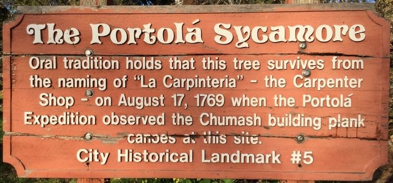
Photographed by Craig Baker, March 1, 2017
1. Portolá Sycamore Marker
Erected by City of Carpinteria. (Marker Number 5.)
Topics and series. This historical marker is listed in these topic lists: Exploration • Indigenous Peoples and Communities. In addition, it is included in the Historic Trees, and the Portolá Expedition series lists. A significant historical date for this entry is August 17, 1769.
Location. 34° 23.575′ N, 119° 31.036′ W. Marker is in Carpinteria, California, in Santa Barbara County. It is on Sixth Street 0.1 miles east of Palm Avenue, on the left when traveling east. Touch for map. Marker is at or near this postal address: 5361 Sixth Street, Carpinteria CA 93013, United States of America. Touch for directions.

Regionally, this marker is on the Central Coast, specifically on the Coast Ranges, and specifically in the Transverse Ranges. It is also on the American Pacific Coast. Globally, it is in North America, on the Ring of Fire, on the Pacific Rim, in the Western
this page online
Other nearby markers. At least 8 other markers are within walking distance of this marker: Carpinteria’s Lima Bean History (about 800 feet away, measured in a direct line); La Carpinteria (approx. 0.3 miles away); Wardholme Torrey Pine (approx. 0.3 miles away); a different marker also named La Carpinteria (approx. 0.4 miles away); La Viña Grande (approx. 0.4 miles away); a different marker also named La Carpinteria (approx. 0.4 miles away); “World’s Safest Beach” (approx. 0.4 miles away); Mills Corner (approx. 0.4 miles away). Touch for a list and map of all markers in Carpinteria.
Regarding Portolá Sycamore. Unlike most Native American boat builders who used hollowed-out logs, the Chumash built their canoes using planks, and sealed the seams with tar from the local seeps.
Related markers. Click here for a list of markers that are related to this marker. — The naming of Carpinteria.
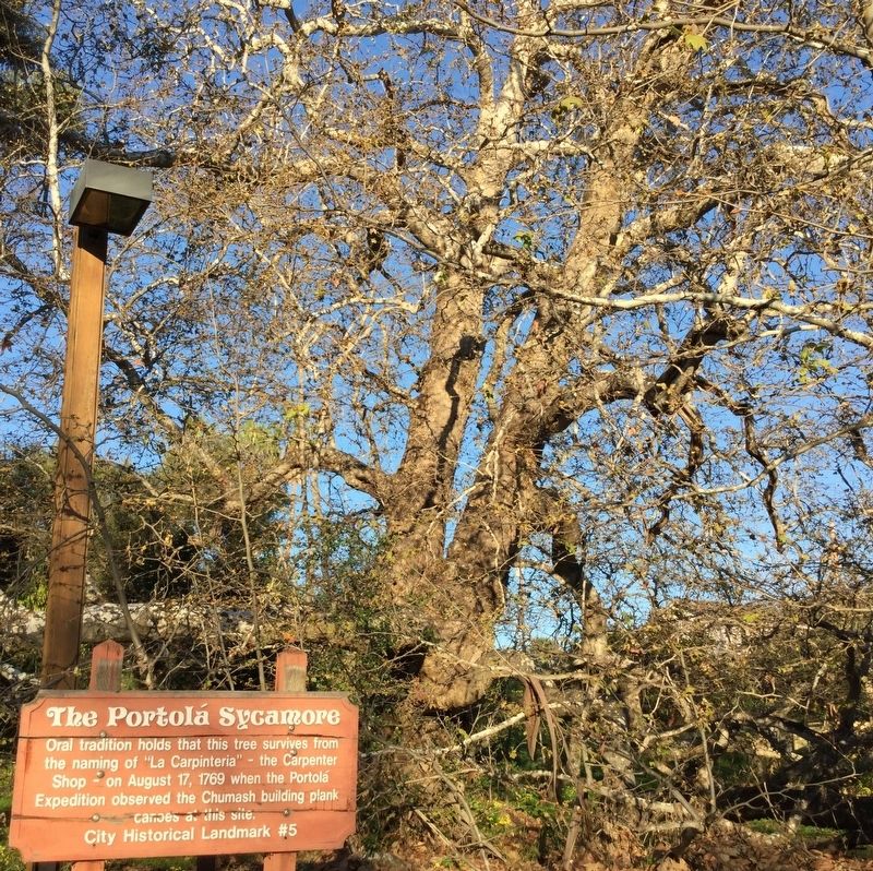
Photographed by Craig Baker, March 1, 2017
2. Portolá Sycamore Tree
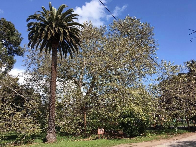
Photographed by Craig Baker, March 26, 2020
3. Portolá Sycamore Tree
Credits. This page was last revised on September 24, 2023. It was originally submitted on July 4, 2018, by Craig Baker of Sylmar, California. This page has been viewed 1,656 times since then and 171 times this year. Last updated on August 17, 2019, by Craig Baker of Sylmar, California. Photos: 1, 2. submitted on July 4, 2018, by Craig Baker of Sylmar, California. 3. submitted on March 31, 2020, by Craig Baker of Sylmar, California. • Andrew Ruppenstein was the editor who published this page.
