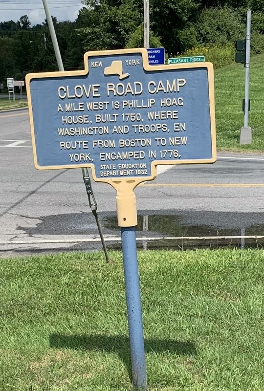
Wingdale in Dutchess County, New York — The American Northeast (Mid-Atlantic)
Clove Road Camp
Erected 1932 by State Education Department.
Topics. This historical marker is listed in these topic lists: Colonial Era • War, US Revolutionary. A significant historical year for this entry is 1750.
Location. 41° 38.83′ N, 73° 33.764′ W. Marker is in Wingdale, New York, in Dutchess County. Marker is at the intersection of New York State Route 22 and Pleasant Ridge Road, on the left when traveling south on State Route 22. Touch for map. Marker is in this post office area: Wingdale NY 12594, United States of America. Touch for directions.
Other nearby markers. At least 8 other markers are within 6 miles of this marker, measured as the crow flies. Masiero – Winship Post 1811 Veterans Monument (within shouting distance of this marker); New York State (approx. 2.2 miles away); Applachian Trail (approx. 3.8 miles away); The Eastern Border (approx. 3.8 miles away); Gaylordsville World War II Monument (approx. 4.1 miles away in Connecticut); Oblong Meeting House (approx. 4.8 miles away); The First Oblong Friends Meeting House (approx. 4.8 miles away); Grange Hall (approx. 5.4 miles away). Touch for a list and map of all markers in Wingdale.
Credits. This page was last revised on August 19, 2019. It was originally submitted on August 17, 2019, by Steve Stoessel of Niskayuna, New York. This page has been viewed 223 times since then and 39 times this year. Photo 1. submitted on August 17, 2019, by Steve Stoessel of Niskayuna, New York. • Bill Pfingsten was the editor who published this page.
