Hardy in Franklin County, Virginia — The American South (Mid-Atlantic)
Slavery on the Plantation
Inscription.
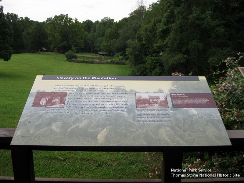
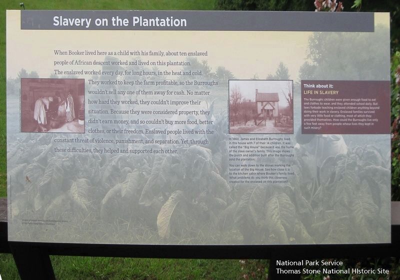
When Booker lived here as a child with his family, about ten enslaved people of African descent worked and lived on this plantation. The enslaved worked every day, for long hours, in heat and cold. They worked to keep the farm profitable, so the Burroughs wouldn't sell any one of them away for cash. No matter how hard they worked, they couldn't improve their situation. Because they were considered property, they couldn't earn money, and so couldn't buy more food, better clothes, or their freedom. Enslaved people lived with the constant threat of violence, punishment, and separation. Yet, through these difficulties, they helped and supported each other.
(sidebar)
Think about it:
Life in Slavery
The Burroughs children were given enough food to eat and clothes to wear, and they attended school daily. But laws forbade teaching enslaved children anything beyond their work in slavery. Enslaved families survived with very little food or clothing, most of which they provided themselves. How could the Burroughs live only a few feet away from people whose lives they kept in such misery?
(caption)
In 1860, James and Elizabeth Burroughs lived in this house with 7 of their 14 children. It was called the "Big House" because it was the home of the slave owner's family. This image shows the porch and addition built after the Burroughs sold the plantation.
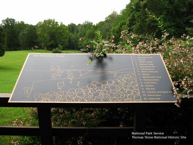
You can walk down to the stones marking the location of the Big House. See how close it is to the kitchen cabin where Booker's family lived. What problems do you think this closeness created for the enslaved family on this plantation?
Images of people working are contemporary photos of the Park's living history volunteers.
Erected by Booker T. Washington National Monument, National Park Service.
Topics. This historical marker is listed in these topic lists: African Americans • Agriculture. A significant historical year for this entry is 1860.
Location. 37° 7.163′ N, 79° 43.897′ W. Marker is in Hardy, Virginia, in Franklin County. Marker can be reached from Booker T Washington Highway (Virginia Route 122) 0.2 miles east of Lost Mountain Road (Virginia Route 636), on the right when traveling east. The marker is located on the rear deck of the Visitor Center. Touch for map. Marker is at or near this postal address: 12130 Booker T Washington Hwy, Hardy VA 24101, United States of America. Touch for directions.
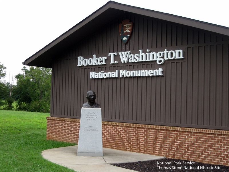
Other nearby markers. At least 8 other markers are within 4 miles of this marker, measured as the crow flies. Booker T. Washington National Monument (a few steps from this marker); How Tobacco Farms Used Slavery (within shouting distance of this marker); Freed Here, At Last (within shouting distance

National Park Service, Thomas Stone National Historic Site, August 18, 2018
2. Slavery on the Plantation Marker
Viewing marking from the north. Inset black & white image of people in a kitchen. Inset black & white image of the Burroughs' Big House. Background image of workers in a tobacco field. The Smokehouse and the Kitchen Cabin exteriors are visible beyond the marker in the distance.
Related marker. Click here for another marker that is related to this marker. Old Marker At This Location titled "The Landscape of Slavery".
Also see . . .
1. Booker T. Washington National Monument, National Park Service. (Submitted on August 17, 2019.)
2. Dr. Booker Taliaferro Washington, Tuskegee University. (Submitted on August 17, 2019.)
3. Booker T. Washington National Monument, National Register of Historic Places. (Submitted on August 17, 2019.)
Credits. This page was last revised on November 7, 2022. It was originally submitted on August 17, 2019. This page has been viewed 235 times since then and 23 times this year. Photos: 1, 2, 3, 4, 5. submitted on August 17, 2019. • Bernard Fisher was the editor who published this page.


