Port Gibson in Claiborne County, Mississippi — The American South (East South Central)
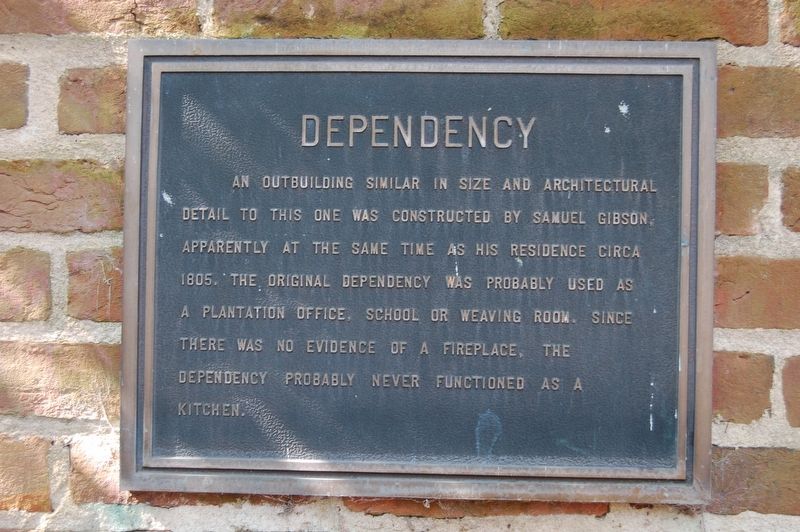
Dependency
An outbuilding in size and architectural detail to this one was constructed by Samuel Gibson, apparently at the same time as his residence circa 1805. The original dependency was probably used as a plantation office, school or weaving room. Since there was no evidence of a fireplace, the dependency probably never functioned as a kitchen.
Topics. This historical marker is listed in these topic lists: Architecture • Colonial Era • Settlements & Settlers.
Location. 31° 57.047′ N, 90° 59.144′ W. Marker is in Port Gibson, Mississippi, in Claiborne County. Marker can be reached from Church Street (U.S. 61) near Horton Drive, on the right when traveling north. Touch for map. Marker is at or near this postal address: 1601 Church Street, Port Gibson MS 39150, United States of America. Touch for directions.
Other nearby markers. At least 8 other markers are within walking distance of this marker. Claiborne County (here, next to this marker); Samuel Gibson House (here, next to this marker); a different marker also named Claiborne County (a few steps from this marker); Van Dorn House (a few steps from this marker); The Vicksburg Campaign and Siege (within shouting distance of this marker); Idlewild (about 500 feet away, measured in a direct line); Spencer Home (approx. 0.2 miles away); Heath Home (approx. ¼ mile away). Touch for a list and map of all markers in Port Gibson.
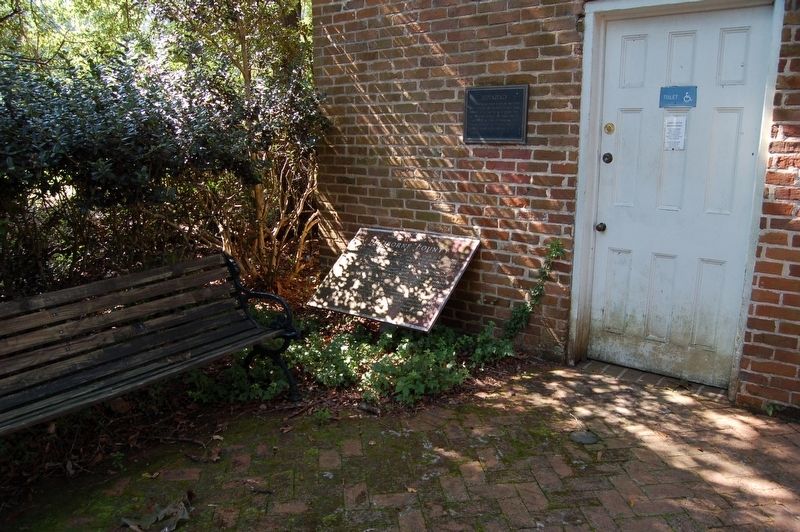
More about this marker. Located at the Port Gibson Chamber of Commerce/Tourist Information out building restrooms.
Credits. This page was last revised on August 17, 2019. It was originally submitted on August 17, 2019, by Cajun Scrambler of Assumption, Louisiana. This page has been viewed 186 times since then and 19 times this year. Photos: 1, 2. submitted on August 17, 2019.

