Drennen in Nicholas County, West Virginia — The American South (Appalachia)
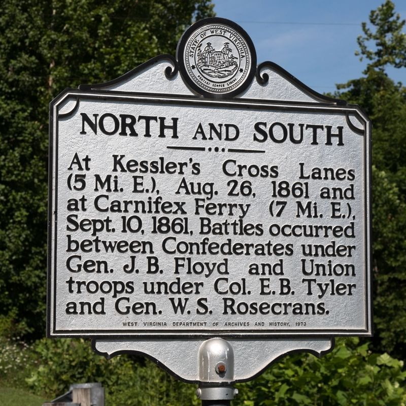
North and South
Erected 1973 by West Virginia Department of Archives and History.
Topics and series. This historical marker is listed in this topic list: War, US Civil. In addition, it is included in the West Virginia Archives and History series list. A significant historical date for this entry is September 10, 1861.
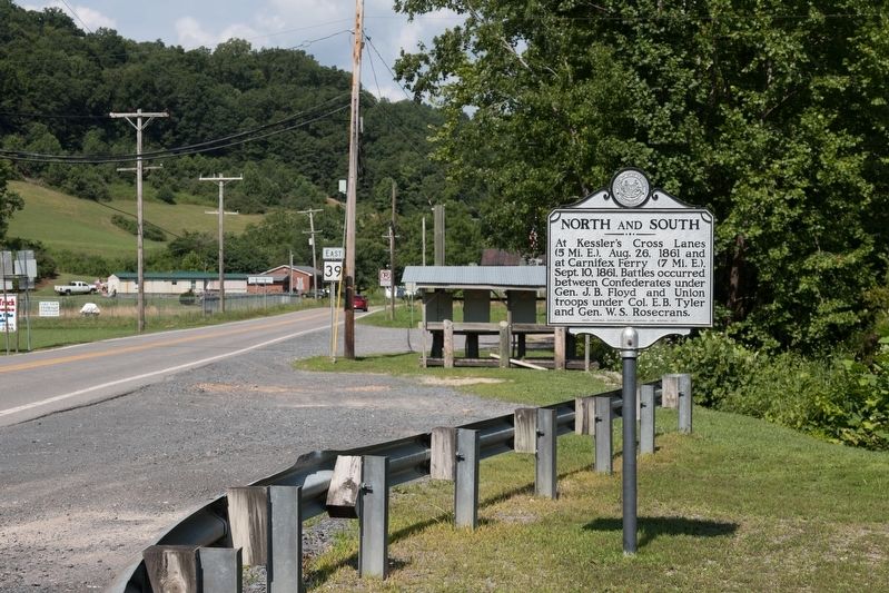
Location. 38° 16.227′ N, 80° 59.902′ W. Marker is in Drennen, West Virginia, in Nicholas County. Marker is at the intersection of Turnpike Road (West Virginia Route 39) and West Virginia Route 129, on the right when traveling east on Turnpike Road. Touch for map. Marker is in this post office area: Drennen WV 26667, United States of America. Touch for directions.
Other nearby markers. At least 8 other markers are within 5 miles of this marker, measured as the crow flies. Morris Massacre (approx. 1.9 miles away); Bethel United Methodist Church (approx. 2.2 miles away); Pioneer School (approx. 2.9 miles away); Zoar Baptist Church (approx. 4.1 miles away); Keslers Cross Lanes / First County Court (approx. 4.3 miles away); Cross Lanes Battle (approx. 4.3 miles away); Kesslers Cross Lanes (approx. 4.7 miles away); Fight At Ramsey’s Fort (approx. 4.9 miles away).
Credits. This page was last revised on August 18, 2019. It was originally submitted on August 18, 2019, by J. J. Prats of Powell, Ohio. This page has been viewed 250 times since then and 23 times this year. Photos: 1, 2. submitted on August 18, 2019, by J. J. Prats of Powell, Ohio.

