Fort Monroe in Hampton, Virginia — The American South (Mid-Atlantic)
Fort Monroe
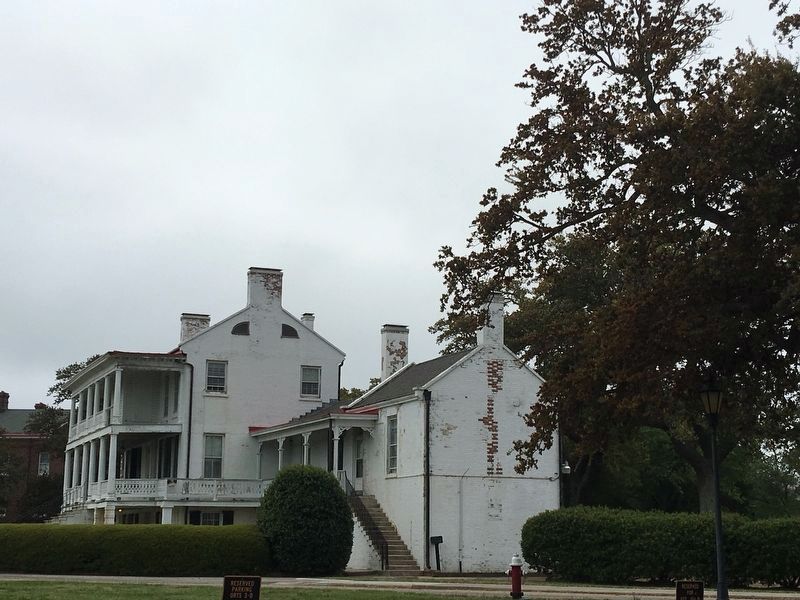
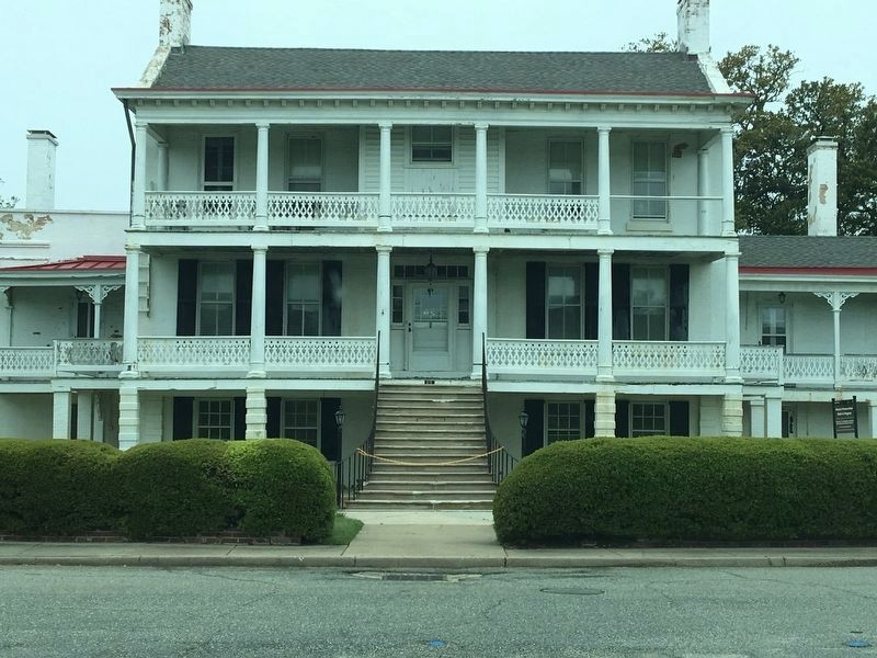
Quarters No. 1
Inscription.
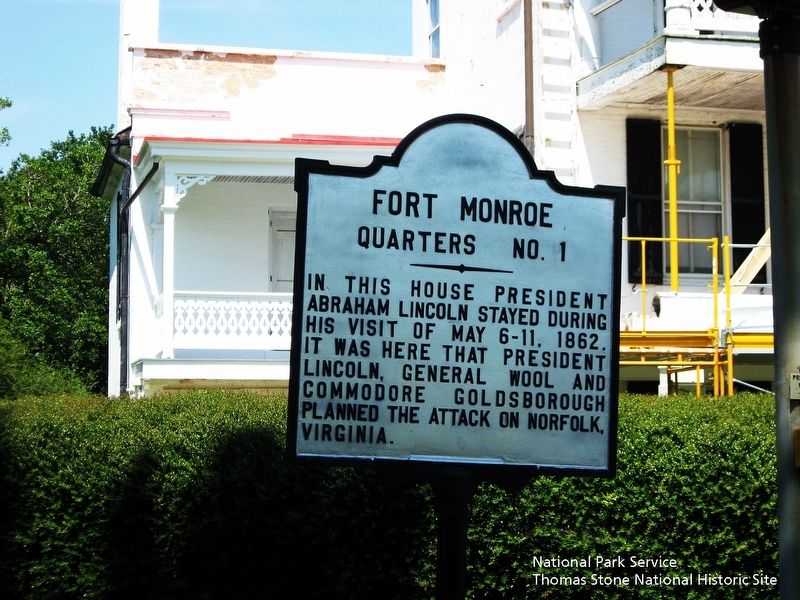
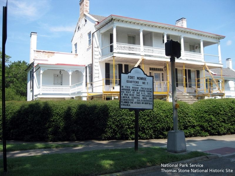
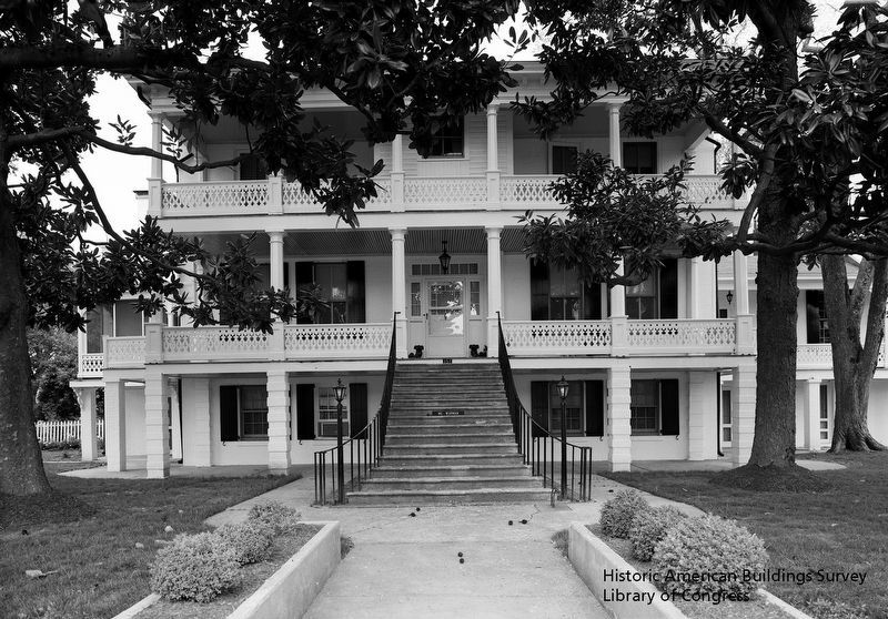
In this house President Abraham Lincoln stayed during his visit of May 6-11, 1862. It was here that President Lincoln, General Wool and Commodore Goldborough planned the attack on Norfolk, Virginia.
Topics and series. This historical marker is listed in these topic lists: Forts and Castles • War, US Civil. In addition, it is included in the Former U.S. Presidents: #16 Abraham Lincoln series list. A significant historical date for this entry is May 6, 1862.
Location. 37° 0.228′ N, 76° 18.319′ W. Marker is in Hampton, Virginia. It is in Fort Monroe. Marker is at the intersection of Bernard Road and 5 Northgate Road, on the left when traveling north on Bernard Road. Touch for map. Marker is at or near this postal address: 151 Bernard Road, Fort Monroe VA 23651, United States of America. Touch for directions.
Other nearby markers. At least 8 other markers are within walking distance of this marker. Water Battery (about 400 feet away, measured in a direct line); Fort Monroe History (about 600 feet away); An Enduring Legacy? (about 700 feet away); Jefferson Davis Memorial Arch (about 700 feet away); Battery Parrott (about 700 feet away); Battery Irwin (about 800 feet away); Omaha Beach Memorial Tree (approx. 0.2 miles away); The Lincoln Gun (approx. 0.2 miles away). Touch for a list and map of all markers in Hampton.
Also see . . .
1. Quarters No 1, National Register of Historic Place Registration Form (pdf file) . (Submitted on August 19, 2019.)
2. Fort Monroe National Monument. National Park Service (Submitted on August 19, 2019.)
3. Preserving the jewel of Fort Monroe, Quarters 1. Article discussing the history and preservation efforts of Fort Monroe's Quarters No 1. (Submitted on April 22, 2020, by Meg B of Chesapeake, Virginia.)
Credits. This page was last revised on February 1, 2023. It was originally submitted on August 19, 2019. This page has been viewed 272 times since then and 25 times this year. Photos: 1, 2, 3, 4. submitted on August 19, 2019. 5, 6. submitted on April 22, 2020, by Meg B of Chesapeake, Virginia. • Bernard Fisher was the editor who published this page.
