
Utica in Oneida County, New York — The American Northeast (Mid-Atlantic)
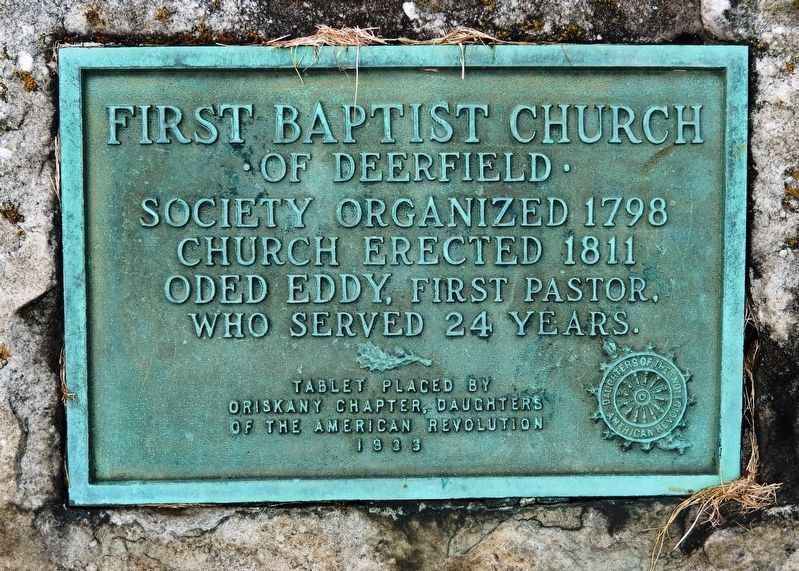
First Baptist Church
• of Deerfield •
Photographed by Cosmos Mariner, August 18, 2019
1. First Baptist Church Marker
Church erected 1811
Oded Eddy, first pastor,
who served 24 years.
Tablet placed by
Oriskany Chapter, Daughters
of the American Revolution
1933
Erected 1933 by Oriskany Chapter, Daughters of the American Revolution.
Topics and series. This historical marker is listed in this topic list: Religion & Religious Structures. In addition, it is included in the Daughters of the American Revolution (DAR) series list. A significant historical year for this entry is 1798.
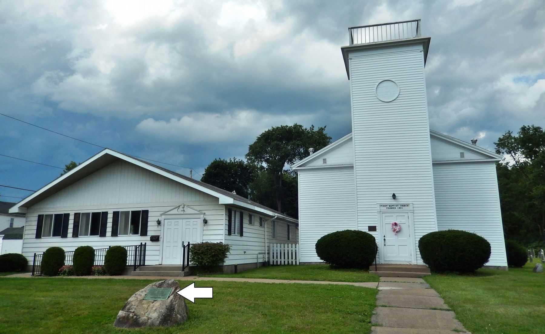
Location. 43° 6.847′ N, 75° 12.123′ W. Marker is in Utica, New York, in Oneida County. It is on Herkimer Road (New York State Route 5) east of Larchmont Avenue, on the left when traveling east. Marker is mounted on a knee-high boulder directly in front of the subject church. Touch for map. Marker is at or near this postal address: 515 Herkimer Road, Utica NY 13502, United States of America. Touch for directions.

Regionally, this marker is in Upstate New York and in the Mohawk Valley. It is also in the American Northeast and in the Mid-Atlantic. Globally, it is in North America, the Great North Woods, the Western Hemisphere, the Western
this page online
Other nearby markers. At least 8 other markers are within 2 miles of this marker, measured as the crow flies: First Baptist (a few steps from this marker); At This Point (approx. 0.2 miles away); Bagg's Tavern (approx. 1.3 miles away); The Great Ford of the Mohawk (approx. 1.3 miles away); Utica (approx. 1.3 miles away); The Site of Old Fort Schuyler (approx. 1.3 miles away); a different marker also named The Site of Old Fort Schuyler (approx. 1.3 miles away); General Herkimer Marched Past This Spot (approx. 1.4 miles away). Touch for a list and map of all markers in Utica.
Regarding First Baptist Church. National Register of Historic Places #85001497
Also see . . . Baptist Church & Cemetery. This area was originally part of the Town of Deerfield until annexed by the City of Utica in August 1916. (Submitted on August 19, 2019, by Cosmos Mariner of Cape Canaveral, Florida.)
Photographed by Cosmos Mariner, August 18, 2019
2. First Baptist Church of Deerfield (marker visible in left foreground)
Credits. This page was last revised on August 19, 2019. It was originally submitted on August 19, 2019, by Cosmos Mariner of Cape Canaveral, Florida. This page has been viewed 400 times since then and 30 times this year. Photos: 1, 2. submitted on August 19, 2019, by Cosmos Mariner of Cape Canaveral, Florida.
