Leominster in Worcester County, Massachusetts — The American Northeast (New England)
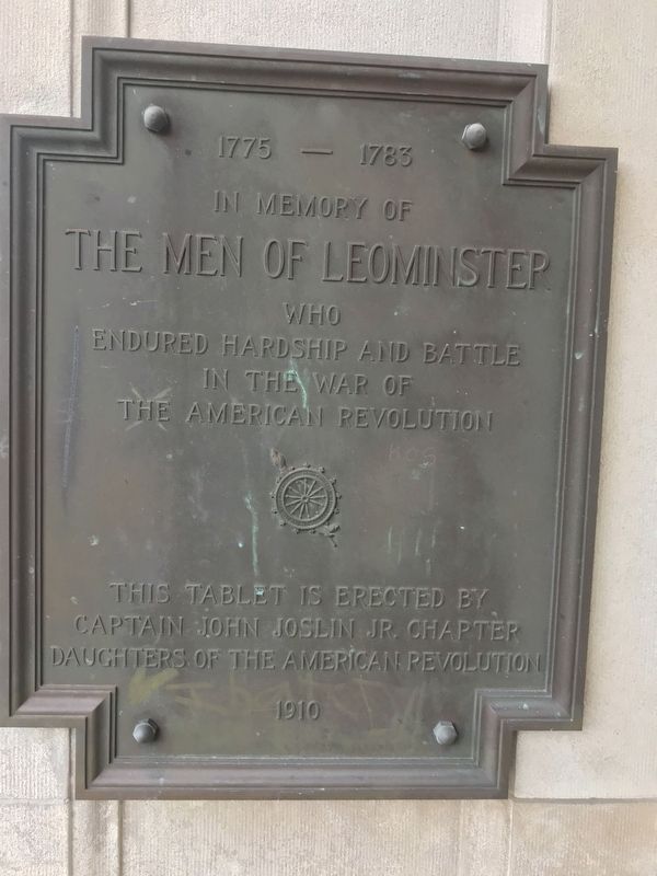
In Memory of the Men of Leominster
1775-1783
In memory of the men of Leominster who endured hardship and battle in the war of the American Revolution
This tablet is erected by Captain John Joslin Jr. Chapter Daughters of the American Revolution 1910
Erected 1910 by Captain John Joslin, Jr. Chapter, Daughters of the American Revolution.
Topics and series. This memorial is listed in this topic list: War, US Revolutionary. In addition, it is included in the Daughters of the American Revolution series list.
Location. 42° 31.6′ N, 71° 45.702′ W. Marker is in Leominster, Massachusetts, in Worcester County. Memorial can be reached from West St. The marker is at the entrance to Leominster Public Library. Touch for map. Marker is at or near this postal address: 30 West St, Leominster MA 01453, United States of America. Touch for directions.
Other nearby markers. At least 8 other markers are within 2 miles of this marker, measured as the crow flies. Site of Second Meeting House (about 400 feet away, measured in a direct line); World War ll Vietnam Korean War Memorial (about 500 feet away); Oliver E. Hazard (approx. 0.3 miles away); Town Pound 1816 (approx. 0.3 miles away); The Drake Home and the Underground Railroad (approx. 0.3 miles away); Derby LZ (approx. 1.8 miles away); Henry F. Sawtelle Bridge (approx. 1.8 miles away); Veterans Walls (approx. 1.8 miles away). Touch for a list and map of all markers in Leominster.
Credits. This page was last revised on April 30, 2023. It was originally submitted on August 19, 2019, by Darren Brosseau of Fitchburg, Massachusetts. This page has been viewed 233 times since then and 27 times this year. Last updated on April 29, 2023, by Carolyn Sanders of Plano, Texas. Photo 1. submitted on August 19, 2019, by Darren Brosseau of Fitchburg, Massachusetts. • J. Makali Bruton was the editor who published this page.
Editor’s want-list for this marker. A wide view photo of the marker and the surrounding area together in context. • Can you help?
