Fort Story in Virginia Beach, Virginia — The American South (Mid-Atlantic)
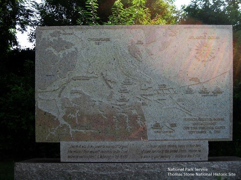
French British Naval Engagement Off the Virginia Capes
September 5, 1781

National Park Service, Thomas Stone National Historic Site, August 16, 2018
1. French British Naval Engagement Off the Virginia Capes Marker
Viewing north towards the marker. The map in the marker identifies the following geographic locations: the Atlantic Ocean, Cape Charles, Cape Henry, Chesapeake Bay, Hampton, Hampton Roads, Lynnhaven Roads, Old York Comfort, Tail of the Horseshoe, and Yorktown. Map also shows position of French and British ships and/or fleets at 12:00 noon, 2:00 pm, 2:15 pm, 4:15 pm, and 7:00 pm.
"…I consider myself infinitely happy to have been of some service to the United States …reserve me a place in your memory …" deGrasse Nov. 3, 1781
Topics and series. This historical marker is listed in these topic lists: War, US Revolutionary • Waterways & Vessels. In addition, it is included in the Former U.S. Presidents: #01 George Washington, and the The Washington-Rochambeau Route series lists. A significant historical date for this entry is September 5, 1781.
Location. 36° 55.698′ N, 76° 0.542′ W. Marker is in Virginia Beach, Virginia. It is in Fort Story. Marker can be reached from the intersection of Atlantic Avenue and New Guinea Road, on the right when traveling north. Enter the parking lot for the Cape Henry Memorial, which is maintained by the National Park Service. Use the trail located at the northeast corner of the parking lot to reach the monument. Touch for map. Marker is in this post office area: Virginia Beach VA 23459, United States of America. Touch for directions.
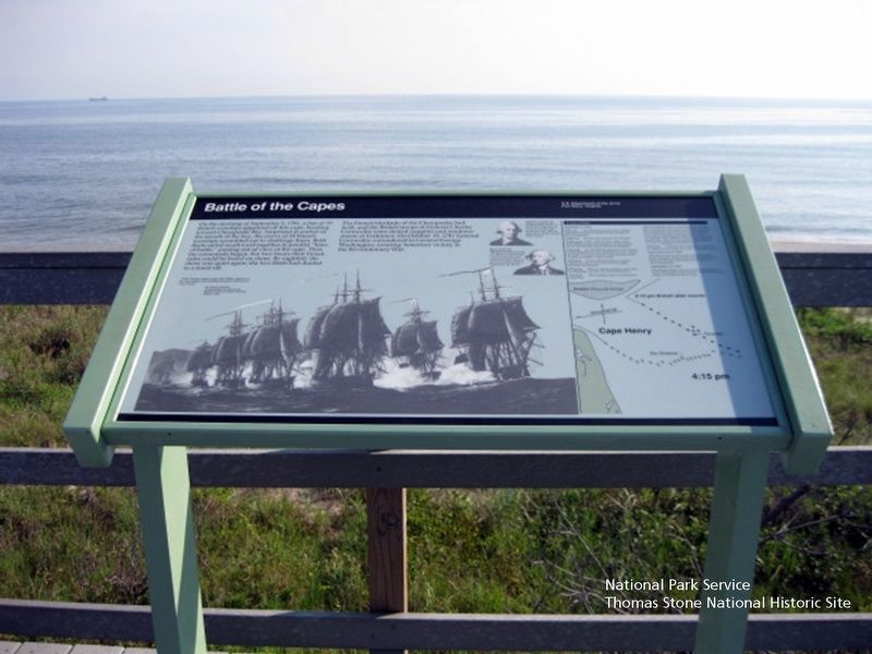
Other nearby markers. At least 8 other markers are within walking distance of this marker. Battle of the Capes (a few steps from this marker); Cape Henry Memorial (within shouting distance of this marker); François Joseph Paul de Grasse (within shouting distance of this marker); Battle of the Capes 1781 (within shouting distance of this marker); First Landing (approx. 0.2 miles away); First Public Works Project of the United States Government (approx. 0.2 miles away); History of Cape Henry Lighthouse (approx. 0.2 miles away); British Naval Blockade and Cape Henry Lighthouse / The War of 1812 (approx. 0.2 miles away). Touch for a list and map of all markers in Virginia Beach.
Also see . . .
1. Washington-Rochambeau National Historic Trail, National Park Service. (Submitted on August 19, 2019.)
2. Washington-Rochambeau Revolutionary Route Association, Inc. (Submitted on August 19, 2019.)
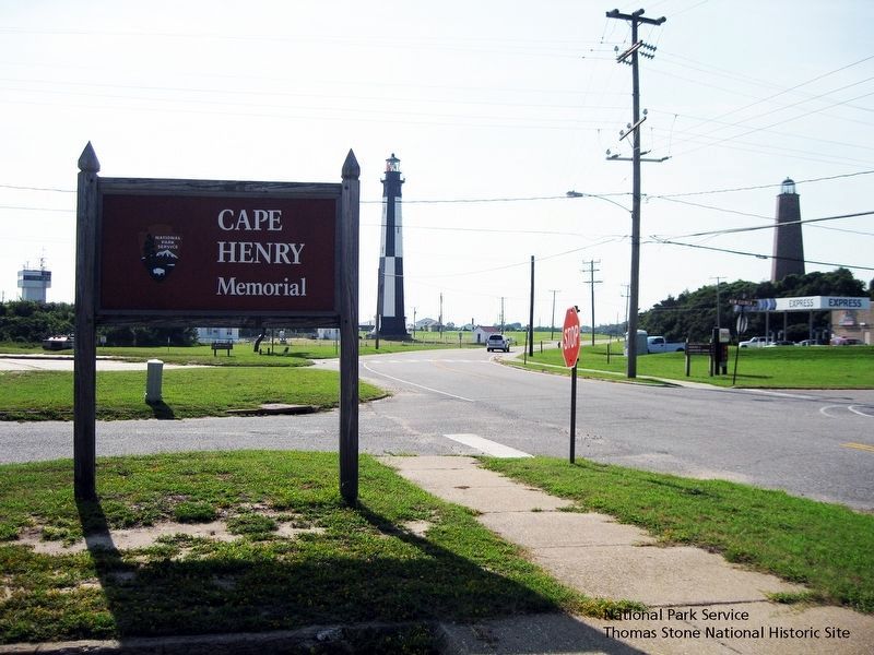
3. Cape Henry Memorial, National Park Service. (Submitted on August 19, 2019.)

National Park Service, Thomas Stone National Historic Site, August 16, 2018
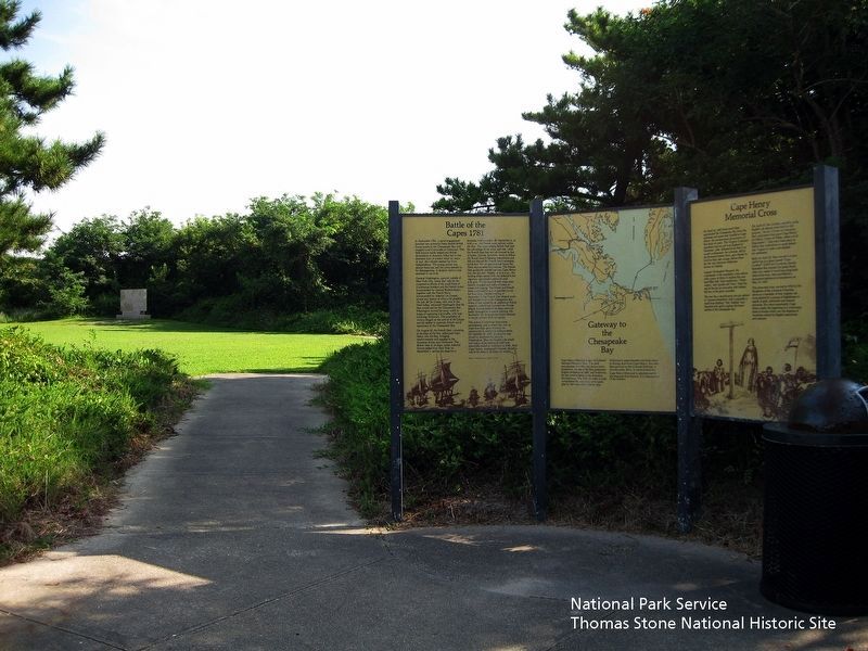
5. Battle of the Capes 1781, Gateway to the Chesapeake Bay, and Cape Henry Memorial Cross Markers.
Viewing north towards the markers. The French British Naval Engagement Off the Virginia Capes Marker is located in the background.
Credits. This page was last revised on February 1, 2023. It was originally submitted on August 19, 2019. This page has been viewed 212 times since then and 19 times this year. Photos: 1. submitted on August 19, 2019. 2. submitted on August 20, 2019. 3. submitted on August 19, 2019. 4, 5. submitted on August 20, 2019. • Bernard Fisher was the editor who published this page.


