Near Mount Nebo in Nicholas County, West Virginia — The American South (Appalachia)
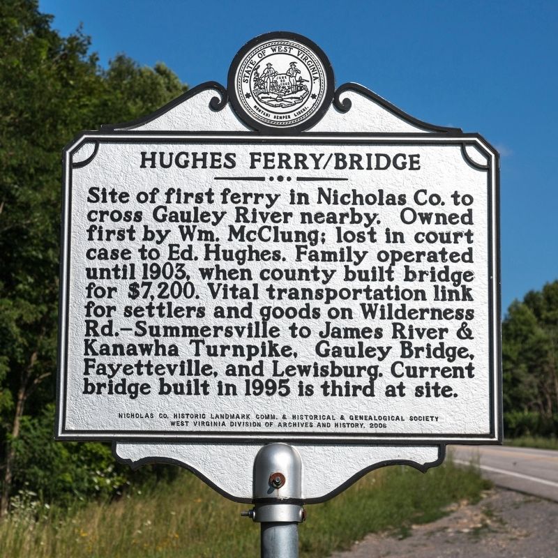
Hughes Ferry / Bridge
Erected 2006 by Nicholas County Historic Landmark Commission & Historical & Genealogical Society, and West Virginia Division of Archives and History.
Topics and series. This historical marker is listed in these topic lists: Bridges & Viaducts • Waterways & Vessels. In addition, it is included in the West Virginia Archives and History series list. A significant historical year for this entry is 1903.
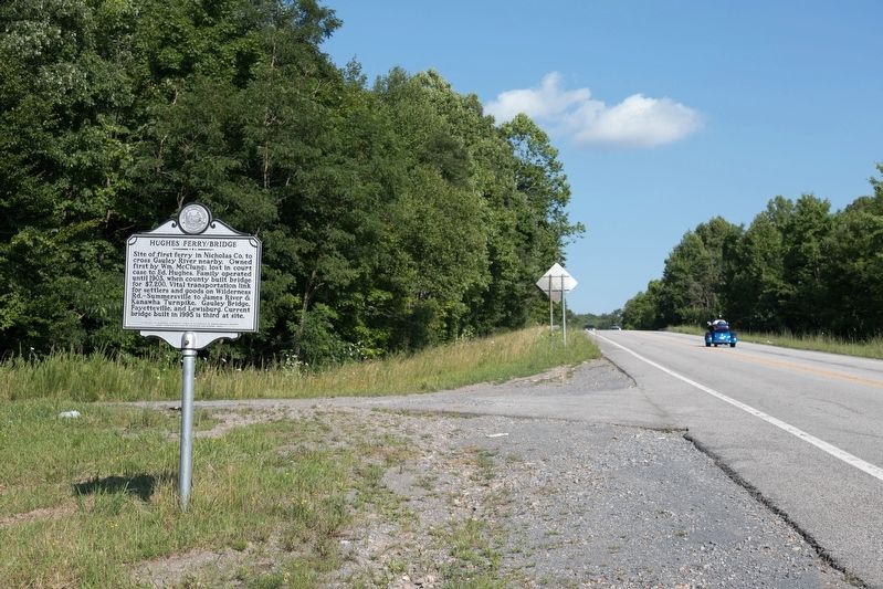
Location. 38° 14.116′ N, 80° 50.991′ W. Marker is near Mount Nebo, West Virginia, in Nicholas County. Marker is on Old U.S. 19 just east of U.S. 19, on the left when traveling south. It is near the northern end of Old U.S. 19. Touch for map. Marker is in this post office area: Mount Nebo WV 26679, United States of America. Touch for directions.
Other nearby markers. At least 8 other markers are within 4 miles of this marker, measured as the crow flies. Hawks Nest Workers Memorial and Grave Site (approx. 0.2 miles away); Hawks Nest Tunnel Disaster Workers Grave Site (approx. 0.2 miles away); Summersville Reservoir (approx. 2.2 miles away); Running the River (approx. 2.2 miles away); Flood Control (approx. 2.2 miles away); Raid on Summersville (approx. 2.9 miles away); In Memory of (approx. 3.2 miles away); Honorable War Dead Of Nicholas County (approx. 3.2 miles away).
Credits. This page was last revised on June 9, 2020. It was originally submitted on August 20, 2019, by J. J. Prats of Powell, Ohio. This page has been viewed 646 times since then and 182 times this year. Photos: 1, 2. submitted on August 20, 2019, by J. J. Prats of Powell, Ohio.

