Palo Verde in Imperial County, California — The American West (Pacific Coastal)
Camp Gaston
Est. 1859
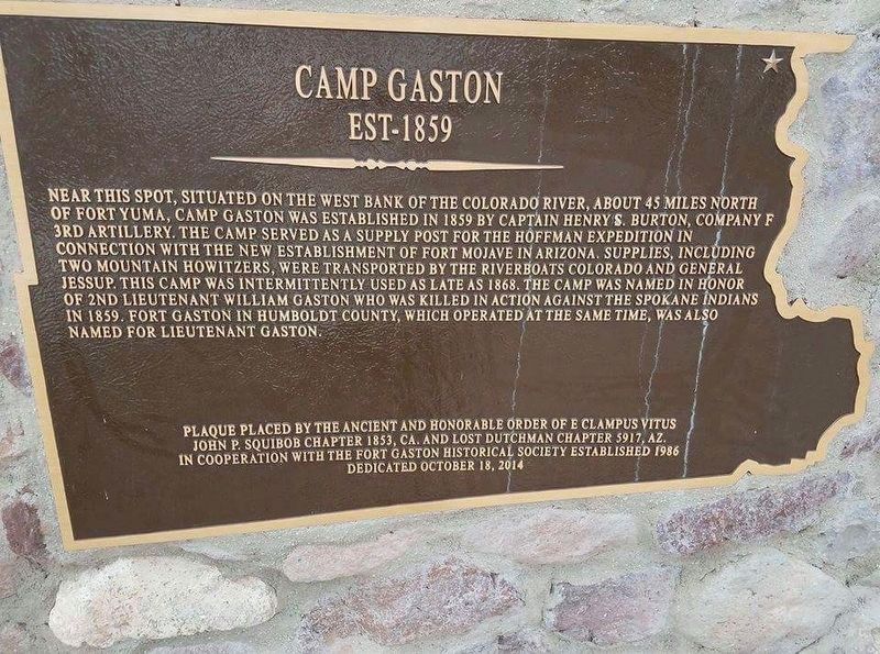
1. Fort Gaston Marker
Erected 2014 by E Clampus Vitus John P. Squibob Chapter 1853 and Lost Dutchman Chapter 1857.
Topics and series. This historical marker is listed in these topic lists: Forts and Castles • Military. In addition, it is included in the E Clampus Vitus series list. A significant historical month for this entry is October 1804.
Location. 33° 25.994′ N, 114° 43.955′ W. Marker is in Palo Verde, California, in Imperial County. It is at the
this page online

Regionally, this marker is in the Imperial Valley. It is also in the American Borderlands and in the Southwest. Globally, it is in North America, on the Ring of Fire, on the Pacific Rim, in the Western Hemisphere, in the Western World, and in the Anglosphere. Historically, it finds itself in what was once New Spain and also Mexico’s Alta California.
Other nearby markers. At least 4 other markers are within 16 miles of this marker, measured as the crow flies: Taylor's Ferry (here, next to this marker); Colorado River Ferries (approx. 5.9 miles away in Arizona); 390th Bomb Group (H) (approx. 12½ miles away); Wiley Well (approx. 15.6 miles away).
Other markers no longer nearby. Cibola Arizona (was approx. 5.9 miles away in Arizona but has been confirmed missing); a different marker also named Taylor's Ferry (was approx. 6.1 miles away but has been
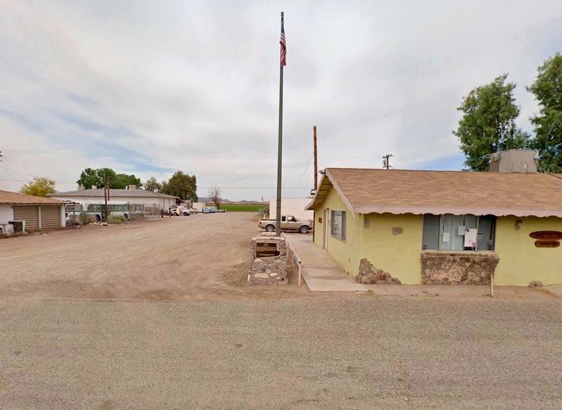
Photographed by Craig Baker, 2018
2. Camp Gaston Marker
Behind this marker is the Taylor’s Ferry marker.
Additional keywords. ecv
Credits. This page was last revised on August 26, 2019. It was originally submitted on July 26, 2015, by Keith B. Dodds of Maricopa, Az.. This page has been viewed 1,097 times since then and 54 times this year. Last updated on August 22, 2019, by Craig Baker of Sylmar, California. Photos: 1. submitted on January 11, 2018, by Frank Gunshow Sanchez of Hollister, California. 2. submitted on August 22, 2019, by Craig Baker of Sylmar, California. • Andrew Ruppenstein was the editor who published this page.
